


More news on this day
Sunday morning thunderstorms over the Chicago area prompted a Federal Aviation Administration ground stop at O’Hare International Airport, briefly halting flights and triggering widespread delays for travelers passing through one of the nation’s busiest hubs.
Get the latest news straight to your inbox!
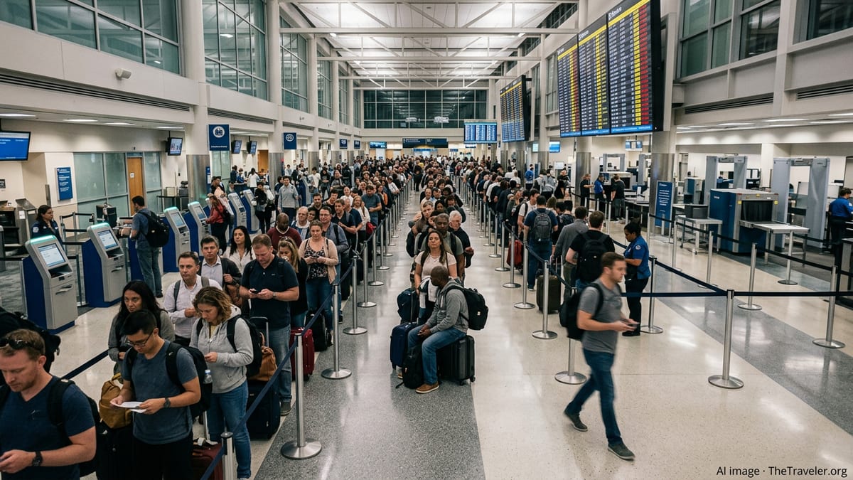
Storms Sweep Through Chicago at Peak Travel Hour
The ground stop was tied to a band of thunderstorms that moved across northern Illinois on Sunday morning, bringing periods of heavy rain, frequent lightning, and low cloud ceilings over Chicago. Publicly available weather radar and aviation data showed storm cells tracking directly over the city and surrounding suburbs as the morning travel window was ramping up.
According to published coverage and national aviation status boards, the FAA implemented a formal ground stop for O’Hare in the early part of the morning as the most intense storms passed near the airport. The measure limited departures bound for Chicago from other airports and constrained arrivals into the field while controllers managed rapidly changing conditions overhead.
Meteorological reports indicated that, while the storms did not produce a widespread severe weather outbreak, lightning activity and reduced visibility were significant enough to justify temporary restrictions on flight operations. Similar storm-driven constraints have become a familiar feature of summer and late-season travel around major Midwest hubs.
By late morning, the most active storm cells had moved east of Chicago, allowing air traffic managers to gradually lift the restrictions and increase the airport’s arrival rate. However, the early disruption left many flights operating behind schedule for the remainder of the day.
Ground Stop Slows Traffic at One of the World’s Busiest Hubs
Data from the FAA’s real-time operations dashboard and third-party disruption trackers showed O’Hare listed under a weather-related ground stop, with reduced arrival rates and a growing backlog of flights held on the ground at origin airports. Independent monitoring platforms noted a sharp increase in delay times during the hours that the ground stop was in effect.
O’Hare routinely handles hundreds of arrivals and departures each day and functions as a critical connecting point for domestic and international networks. Aviation industry analyses describe the airport as capable, under normal conditions, of accommodating an arriving aircraft approximately every 30 seconds. When thunderstorms move through at the wrong time, even a relatively short operational pause can quickly translate into cascading delays.
Published accounts of previous storm events over Chicago highlight how ground stops are used to prevent excess aircraft from converging on airspace that cannot safely accept them. Traffic management programs and temporary holds are designed to meter inbound flights, protect separation between aircraft, and give controllers time to reroute traffic around hazardous weather cells.
On Sunday, that combination of a busy schedule and fast-moving storms meant that passengers on morning bank flights, as well as those connecting through Chicago later in the day, experienced a measurable impact even after the worst of the weather had shifted away from the airport.
Delays, Cancellations, and Knock-On Effects for Travelers
Airline status tools and flight-tracking services reflected a series of delays and scattered cancellations tied to the Sunday morning disruption. As the ground stop took effect, some flights bound for O’Hare remained at their origin airports awaiting updated departure clearances, while others were slotted into extended holding patterns in published schedules.
Because O’Hare is a major connecting hub, the weather event did not only affect those flying directly into or out of Chicago. Missed connections, aircraft and crew repositioning, and tighter turnaround times contributed to follow-on delays across parts of the national network. Published commentary from travelers on social platforms and aviation forums described extended waits, gate holds, and rebooking challenges as airlines worked through the backlog.
Historical examples from previous ground stops at O’Hare and other large hubs show that irregular operations can ripple outward for many hours after the initial trigger. Once a bank of morning departures is disrupted, aircraft and crews may not be in the right place for later flights, and gate availability can become constrained as delayed arrivals bunch together.
By Sunday afternoon, online tracking suggested that operations at O’Hare were gradually stabilizing, though many flights continued to report residual delays as airlines attempted to restore normal schedules ahead of the upcoming business week.
Why Thunderstorms Often Force Short-Notice Restrictions
Aviation safety resources explain that strong thunderstorms can create conditions that are incompatible with normal takeoff and landing operations. Cumulonimbus clouds can produce severe turbulence, strong updrafts and downdrafts, wind shear, hail, and cloud-to-ground lightning, all of which pose risks to aircraft in critical phases of flight.
Industry guidance notes that when such weather affects a major hub like O’Hare, air traffic managers may implement a ground stop to keep additional flights from departing for the affected airport until conditions improve. This tool is one of several traffic management initiatives available to the FAA, along with ground delay programs and reroutes around storm complexes.
Recent case studies of storm-related disruptions at Chicago and other large U.S. airports show that these measures, while disruptive for passengers, are a standard part of maintaining safety margins in complex, high-density airspace. They are particularly common during warm-season months, when rapid thunderstorm development can outpace earlier forecasts.
On Sunday, the thunderstorms that passed over the Chicago area fit that familiar pattern, briefly overwhelming the airport’s ability to operate at normal capacity and prompting the morning ground stop that slowed travel for thousands of passengers.
What Travelers Can Do When Weather Halts Flights
Travel advisors frequently recommend that passengers build extra time into itineraries involving busy hubs that are prone to summer storms, including Chicago O’Hare. Early morning flights are often favored for reliability, but events like Sunday’s storms show that even the first departures of the day can be affected when weather moves in at the wrong moment.
Publicly available travel guidance suggests that, in a weather-driven ground stop, options for avoiding disruption are limited while the event is ongoing. However, travelers can monitor airline apps and flight-tracking tools, respond quickly to rebooking offers, and stay alert to changing gate and schedule information as operations resume.
Analysts also note that maintaining flexible plans, such as allowing longer connection windows and avoiding tight same-day commitments at destination, can reduce the stress associated with delays. For those with critical appointments, nonstop flights or itineraries through alternate hubs may provide additional resilience during peak storm seasons.
With thunderstorms expected to remain a recurring feature of late-summer and early-autumn travel in the Midwest, the Sunday morning ground stop at O’Hare serves as another reminder that weather remains one of the most persistent variables in modern air travel planning.