
More news on this day
Thunderstorms sweeping across the Denver metro area on Monday prompted a ground delay program at Denver International Airport, disrupting operations and contributing to nearly 900 delayed flights as airlines and air traffic managers worked to keep traffic moving safely.
Get the latest news straight to your inbox!
Storms Move In as Summer Travel Peaks
Published coverage from local outlets indicates that strong thunderstorms developed over the Denver region on June 8, bringing heavy rain, lightning and the potential for large hail across the metro area and along the Interstate 25 corridor. The National Weather Service also issued a tornado watch for parts of northeastern Colorado, heightening concerns for air traffic into and out of the city.
As the storms intensified, updated aviation weather information showed rapidly changing conditions around Denver International Airport, a major Rocky Mountain hub that typically sees heavy afternoon traffic in early summer. Airlines already operating close to schedule capacity at the start of the busy June travel period had limited flexibility to absorb weather setbacks.
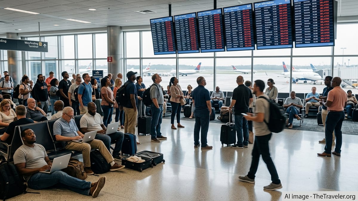
Tracking services that monitor flight status nationwide showed delays building through the afternoon and evening hours. Publicly available data compiled by multiple flight tracking platforms pointed to nearly 900 delayed flights associated with Denver International Airport, affecting both arrivals and departures as thunderstorms lingered in the area.
The disruptions followed a pattern familiar to frequent travelers through Denver at this time of year. Aviation weather analyses focusing on the region note that slow moving thunderstorms can repeatedly develop along the Front Range, forcing controllers to adjust arrival and departure flows during the afternoon and evening travel banks.
Ground Delay Program Slows Arrivals and Departures
According to information posted through Federal Aviation Administration traffic management channels, a ground delay program was put into effect for Denver arrivals as storms impacted the airspace around the airport. Ground delay programs are a standard traffic management tool used when weather or other constraints reduce the number of aircraft that can safely land over a given period.
Under such a program, arriving flights are assigned new arrival times and face added waiting on the ground at their origin airports before being cleared to depart. This helps prevent airborne holding near the destination and reduces the risk of diversions, but it also pushes delays back through the broader route network.
Flight status boards and airline trackers showed average departure delays from Denver stretching to around three quarters of an hour at the height of the disruption, with some individual flights held for significantly longer. Arrivals into the city also faced extended wait times as controllers sequenced traffic into smaller usable gaps between storm cells.
Even after the most intense thunderstorms moved east of the metropolitan area, ripple effects continued. Aircraft and crews that arrived late into Denver frequently turned around late for their next departures, and some inbound flights were re-routed or slowed en route as operators waited for updated slot times under the ground delay program.
Ripple Effects for Travelers Across the Network
The wave of delays at Denver International Airport quickly spread across domestic air routes. Major airlines that use Denver as a connecting hub saw schedule disruptions cascade into other cities, as aircraft due to feed evening departures from Denver were delayed arriving at their next destinations.
Travelers on connecting itineraries through Denver faced missed or at-risk connections, particularly for shorter layovers scheduled during the afternoon and early evening. Discussions on traveler forums and social media referenced rolling delay estimates, rebookings and concerns over crews reaching their maximum duty times if disruptions stretched late into the night.
While cancellations remained comparatively limited in early published counts, the sheer volume of delayed flights affected thousands of passengers. Those departing from other parts of the country on routes bound for Denver were often held at the gate until the ground delay program could accommodate their arrival, leading to extended waits far from the storms themselves.
Industry analyses of previous weather events at Denver indicate that such traffic management measures are intended to keep overall operations stable during severe weather, even when the near term experience for travelers involves lengthy delays. By spacing arrivals more widely, controllers can maintain safer operations while thunderstorms, wind shifts and rapid visibility changes move across runway approaches.
Denver’s Weather Vulnerability Back in Focus
The disruptions once again highlighted Denver International Airport’s exposure to fast changing weather, especially during the late spring and early summer thunderstorm season. Aviation case studies examining the region describe how convective storms can form quickly east of the Rockies and drift over key arrival and departure paths, restricting usable airspace around one of the nation’s busiest airports.
Recent technical reports from federal aviation planners have also noted that when runway or airspace capacity is reduced, traffic managers increasingly rely on tools such as time based flow management and ground delay programs to meter flights into constrained airports. In practice, this can turn a single afternoon storm system into a full day of schedule complications for carriers operating large hub banks.
Denver’s size in the national network means that such events rarely remain a purely local issue. A surge of delays at the airport can affect flights as far away as the East Coast and West Coast, particularly when aircraft are scheduled to operate multiple legs that rely on timely turns through the Colorado hub.
Historical reviews of previous disruptive weather events at Denver, ranging from blizzards to severe thunderstorms, have driven ongoing investments in forecasting, ramp operations and passenger information tools. The latest round of storms further underscores how closely airport performance is tied to rapidly evolving weather along the Front Range.
What Travelers Can Expect in the Coming Days
Forecast discussions from meteorologists indicate that the pattern supporting afternoon thunderstorms around Denver may persist through parts of the week, although exact storm timing and intensity remain uncertain from day to day. For airlines and passengers, that means the potential for additional, localized bouts of disruption even if conditions improve between storm cycles.
Travel analysts note that when a hub such as Denver experiences hundreds of delays in a single afternoon, the impacts can take time to unwind. Aircraft and crews may remain out of their normal rotations for several cycles, and the system can be particularly sensitive to any further operational challenges that arise before schedules are fully recovered.
Publicly available information from airlines, airport status dashboards and flight tracking platforms suggests that travelers with upcoming itineraries through Denver should be prepared for possible schedule changes during future storm windows. Flexible plans, early check ins and close monitoring of flight status updates are commonly recommended strategies during active thunderstorm periods at major hubs.
As summer travel demand continues to build, Monday’s ground delay and the nearly 900 delayed flights at Denver International Airport offer an early reminder of how quickly convective weather can reshape airline operations across a large portion of the domestic network.