


More news on this day
Travel across parts of Yorkshire is being affected by dense fog on Sunday 8 November, as a Met Office yellow warning highlights reduced visibility and the risk of delays on major routes through Monday morning.
Get the latest news straight to your inbox!
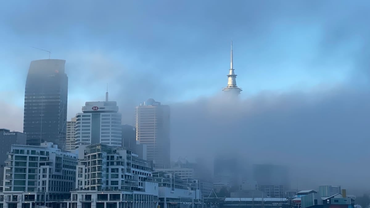
Where the Yorkshire fog warning is in force
Publicly available information from the Met Office shows a yellow fog warning in place for the Yorkshire and Humber region, with conditions described as dense in places and visibility falling below 50 metres at times. The initial warning window runs from midnight to 10:00 on Sunday 8 November, followed by an evening and overnight warning from 18:00 on Sunday until 11:00 on Monday 9 November.
The warning area covers parts of South Yorkshire, West Yorkshire and nearby districts. Coverage from regional outlets indicates that locations including Sheffield, Doncaster, Barnsley and Rotherham were inside the overnight alert, alongside wider areas of the Yorkshire and Humber region. Further reporting notes that the evening and overnight warning also includes places such as York, Selby and sections of North and East Yorkshire.
Separate summaries of the Met Office feed for Yorkshire and Humber confirm that at least one yellow warning for fog is currently in force, with the risk of disruption focused on Sunday morning and again through the late evening and early commute on Monday.
Forecasters indicate that while the warning highlights a broad area, the severity of fog can vary significantly across short distances. Some communities may see only patchy mist, while others experience prolonged periods of very poor visibility, particularly in low-lying areas and near river valleys.
Key roads, rail lines and airports at risk of disruption
Major cross-country routes in Yorkshire run directly through the warning zone, and reduced visibility is expected to make driving conditions more challenging. Published transport and geography data show that West Yorkshire is crossed by the M62, M1 and A1(M), which connect Leeds, Bradford, Wakefield and surrounding towns with the wider north of England. Local trunk roads such as the M18 near Doncaster, the M621 into Leeds and the A1 and A19 corridors further north are also likely to be affected where fog thickens.
Regional rail links may be slowed where signalling and safety procedures require lower speeds in poor visibility. Operators serving stations in Sheffield, Leeds, York, Doncaster and smaller commuter stops across South and West Yorkshire have advised in previous fog events that journey times can lengthen, even when services remain broadly on schedule. Current reports linked to the latest warning again refer to the possibility of slower bus and rail journeys while visibility remains poor.
For air travellers, the Met Office forecast for Leeds Bradford Airport, Yorkshire’s largest passenger hub, points to areas of fog forming overnight into Monday morning, although the dedicated warning page for the airport itself currently lists no separate local warning. Regional media reports, however, emphasise that the wider yellow alert includes West Yorkshire and that flight delays or cancellations are possible if visibility falls below safety thresholds on approach or departure.
Passengers connecting via other airports serving Yorkshire by rail or road may also feel knock-on effects. Coverage around the warning suggests that airline and rail operators are monitoring conditions closely and are prepared to adjust schedules if fog persists into peak travel hours.
How long the fog is expected to last
The current sequence of yellow warnings indicates two main periods of concern. The first, valid from 00:00 to 10:00 on Sunday 8 November, relates to widespread fog that developed overnight across parts of England, including the Yorkshire and Humber region. Reports based on the warning text state that patches have been dense enough in places for visibility to fall below 50 metres, with gradual improvement expected through late morning as temperatures rise.
The second warning, valid from 18:00 on Sunday until 11:00 on Monday 9 November, highlights the likelihood that fog will redevelop quickly after dusk. According to the published detail, fog patches are forecast to form readily during the evening, becoming extensive overnight and only thinning slowly during Monday morning. This pattern places the greatest impact on late-evening travel on Sunday and the early commute at the start of the working week.
The broader regional forecast for Yorkshire and Humber points to light winds, near-average daytime temperatures and cold overnight conditions. These ingredients favour repeated fog formation where skies clear, particularly in sheltered locations. While no further warnings are currently indicated for Tuesday and beyond, forecasters stress that warning areas can be updated as new data becomes available.
Travellers are therefore advised to treat the end time of 11:00 on Monday as an indication rather than a guarantee that all fog will have lifted, especially in valleys, on higher ground and around watercourses where lingering patches are common.
Practical advice for drivers and public transport users
Guidance drawn from the latest warning text and regional resilience documents recommends that anyone travelling in the affected area leaves extra time for their journey, especially at night and in the early morning. Drivers are advised to check their lights before setting off, ensure that front and rear fog lights are working and use them when visibility drops significantly, switching them off again once conditions improve so as not to dazzle other road users.
On motorways and dual carriageways such as the M62, M1 and A1(M), slower traffic, sudden pockets of denser fog and standing water can combine to create hazardous conditions. Local risk registers for Yorkshire and Humber highlight that even moderate fog can contribute to a higher likelihood of minor collisions, particularly where drivers fail to adapt their speed or following distance. Travellers using these routes are encouraged to avoid sharp braking, maintain longer gaps and watch for vehicles without lights.
For those relying on buses and trains, publicly available advice from transport planners suggests checking operator updates before leaving home, as fog can cause knock-on delays even if services are not cancelled outright. Reduced road speeds in urban areas around Leeds, Sheffield, York and Doncaster can affect bus reliability, while rail operators occasionally adjust timetables or running speeds in very low visibility.
Air passengers are being urged in regional coverage to monitor departure and arrival boards closely on Sunday night and Monday morning. Low visibility procedures at airports can require greater spacing between aircraft, which may lead to minor delays even when the runway remains open. Travellers with early flights from Leeds Bradford or connections through other UK hubs are advised to allow extra time for transfers and security in case of altered schedules.
Planning trips and outdoor activities in the warning period
For visitors to Yorkshire, the timing of the fog warning has particular implications for early-morning and late-evening journeys, such as transfers to accommodation, dawn walks or late returns from events. Tourist-focused guidance produced for the region notes that low cloud and fog are more likely to affect hilltops and upland routes, including sections of the Pennine corridors and roads through the Yorkshire Dales and North York Moors, even when visibility is reasonable in nearby towns.
Those planning outdoor activities are advised to anticipate colder, damp conditions in fog, with temperatures near freezing in rural areas overnight. Poor visibility can obscure paths, stiles and waymarking, especially on open moorland, so walkers and cyclists are encouraged to carry appropriate lighting and navigation aids, and to reconsider itineraries that rely on clear views or complex route-finding in unfamiliar terrain.
City breaks to Leeds, York, Sheffield and other urban centres are less likely to be cancelled outright by fog, but visitors may find that views from towers, hilltop parks or scenic lookouts are limited during the warning period. Museums, galleries and indoor attractions remain largely unaffected, making them a practical option while conditions are at their worst.
Local resilience plans for Yorkshire and Humber emphasise that fog is one of several recurring weather-related risks to travel in the region, alongside heavy rain, snow and high winds. Travellers who sign up for weather alerts and check forecasts regularly are better placed to adapt their plans, whether that means setting off later in the morning, choosing alternative routes or switching to public transport where practical.