


More news on this day
A yellow fog warning in force across large parts of England and Wales this weekend is reducing visibility to below 50 metres in places, with reports indicating a growing risk of delays on roads, rail lines and at airports as travellers head to Remembrance events and late‑autumn getaways.
Get the latest news straight to your inbox!
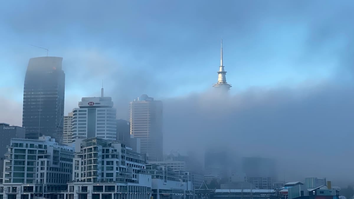
Dense fog blankets England and Wales on key travel morning
Publicly available information from the Met Office indicates that dense fog developed overnight from Saturday 7 November into Sunday 8 November, triggering a yellow weather warning that covers a broad swathe of central, southern and western England, along with parts of northeast Wales. The warning notes widespread fog with some particularly dense patches where visibility could fall below 50 metres, significantly reducing motorists’ ability to see hazards ahead.
The warning, updated in the early hours of Sunday, runs through mid to late morning, with forecasters expecting fog to be slowest to clear across parts of the West Country, central southern England and sections of the Midlands. Satellite imagery and road cameras published by regional media outlets show major routes, including stretches of the M6 in Lancashire and motorways around Birmingham and Manchester, shrouded in thick, low‑lying cloud.
Coverage from national broadcasters highlights that the timing coincides with Remembrance Sunday services, adding pressure on early‑morning journeys into town and city centres. Reports indicate that local organisers are urging attendees to allow extra time for travel and to anticipate congestion around key memorial sites where traffic volumes are higher than on a typical Sunday.
Met Office guidance on fog hazards explains that visibility of less than 50 metres is classified as dense, and can quickly disrupt normal driving patterns as speeds drop and braking distances increase. When fog is widespread, networks of automatic warning signs on some motorways may activate to alert drivers, and in more exposed locations temporary speed restrictions are sometimes introduced by road operators to manage risk.
Impacts for road, rail and air travellers
According to today’s published coverage from outlets including Sky News, Island FM and LBC, the main immediate impacts are on road users, with slower journey times likely on motorways and A‑roads across the warning area. Visibility reports from Lancashire, Yorkshire and the West Midlands describe fog limiting sight lines to around 50 metres or less in some low‑lying sections, especially near rivers and open farmland where cold air tends to pool.
On the rail network, operators are not reporting widespread cancellations linked solely to fog, but industry guidance notes that dense fog can require train drivers to proceed more cautiously where signals or lineside markers are harder to see. This can lead to modest delays and tighter turnaround times at busy junctions or terminal stations, particularly on early‑morning commuter and intercity services.
Air travel is more sensitive to very low visibility. Airport weather minima vary by runway and equipment, but when fog brings visibility close to or below 50 metres, low‑visibility procedures can be triggered. These measures typically reduce the rate at which aircraft can land and depart in order to maintain safe separation, which can in turn cause knock‑on delays. Regional reporting from Yorkshire and London notes some early‑morning disruption at airports within the warning zone, with passengers advised through airline updates to check the status of flights before leaving home.
Travel experts quoted across recent transport safety campaigns emphasise that disruption from fog is often compounded by its patchy nature. Conditions can vary sharply over short distances, which means that a clear stretch of road or an on‑time departure from one location does not guarantee similar conditions 20 or 30 miles further along the route.
How rare are fog warnings and why this setup matters
A Met Office explainer published earlier this autumn points out that formal fog warnings are less common than alerts for rain and wind, despite the significant impact that very low visibility can have on travel. Fog warnings are typically reserved for situations where forecasters expect visibility to drop below 200 metres across a broad area, with the greatest concern focused on patches where it could fall under 50 metres.
The current event is linked to a classic late‑autumn pattern over the UK, with long nights, clear skies and light winds allowing the ground to cool rapidly after sunset. As the air cools close to the surface it reaches saturation, and water vapour condenses into millions of tiny droplets suspended near the ground. The resulting radiation fog often forms first in sheltered valleys and basins before spreading out to cover larger regions if the calm conditions persist through the night.
Because this fog forms in stable air under high pressure, it can be slow to disperse even after sunrise. Forecast discussions indicate that, away from higher ground and coastal fringes where breezes are stronger, fog may linger into late morning. Sunlight has to warm the surface sufficiently to evaporate the droplets and restore visibility, a process that is slower in November when the sun sits lower in the sky.
Transport and safety agencies around the world recognise dense fog as one of the more challenging conditions for drivers and pilots, since it affects visibility without providing some of the tactile cues that heavy rain or strong winds can offer. Case studies from previous events, including multi‑vehicle collisions in thick tule fog in California and pile‑ups on European motorways, underline how quickly conditions can deteriorate once visibility drops below 50 metres.
Advice for travellers moving through the warning area
Public travel guidance issued in connection with today’s yellow warning encourages anyone planning journeys through affected regions to allow extra time, reduce speed and increase following distances. Road‑safety material from highway authorities stresses the importance of using dipped headlights rather than full beam in fog, as high beams can reflect off water droplets and further reduce visibility. Front and rear fog lights can help in the densest patches but should be switched off once visibility improves, to avoid dazzling other drivers.
For those heading to railway stations or airports, operators recommend checking live departure boards and carrier updates before setting out, particularly during the early‑morning peak. If low‑visibility procedures are in place at airports, queues at check‑in and security may lengthen as schedules are adjusted, so travellers are being reminded via public notices to arrive in good time even if their service is currently listed as on schedule.
Travel insurance policies typically remain valid when official weather warnings are in force, but conditions for compensation or cover can depend on the type and length of disruption as well as the terms set by individual providers. Consumer advice organisations suggest keeping receipts and evidence of any additional costs incurred as a result of weather‑related delays, such as hotel stays or alternative transport, in case a claim later becomes possible.
Reports from local tourism bodies indicate that many attractions and hospitality businesses within the warning zone are operating as normal, albeit with quieter than usual morning visitor numbers. Some countryside sites are reminding visitors that car parks and access roads may be particularly prone to fog, and that visibility can change quickly on higher ground even as conditions begin to improve in nearby towns and cities.
What happens next as conditions gradually improve
Forecast charts suggest that the yellow fog warning will lapse by late morning as visibility slowly improves from east to west. However, residual low cloud and mist are likely to linger in some inland areas through the afternoon, keeping temperatures subdued and delaying any return to fully clear skies. The Met Office outlook points to a continued risk of night‑time mist and fog patches over the coming days, although the coverage and intensity may be lower than during the current episode.
Travel planners are watching for any renewed temperature drops under clear evening skies, which could allow fog to redevelop in some of the same prone locations, such as river valleys and inland basins. In such cases, further short‑fuse advisories or updates to existing forecasts may be issued to reflect changing conditions overnight.
For travellers, the message from public information campaigns is that flexibility remains important at this time of year. Building in extra journey time, keeping itineraries slightly adaptable and monitoring the latest forecast updates can all help reduce the risk of missed connections or last‑minute scrambles. As the UK moves deeper into the fog‑prone months of late autumn and early winter, today’s yellow warning serves as a reminder of how quickly visibility can deteriorate and how important it is to adapt travel plans accordingly.