

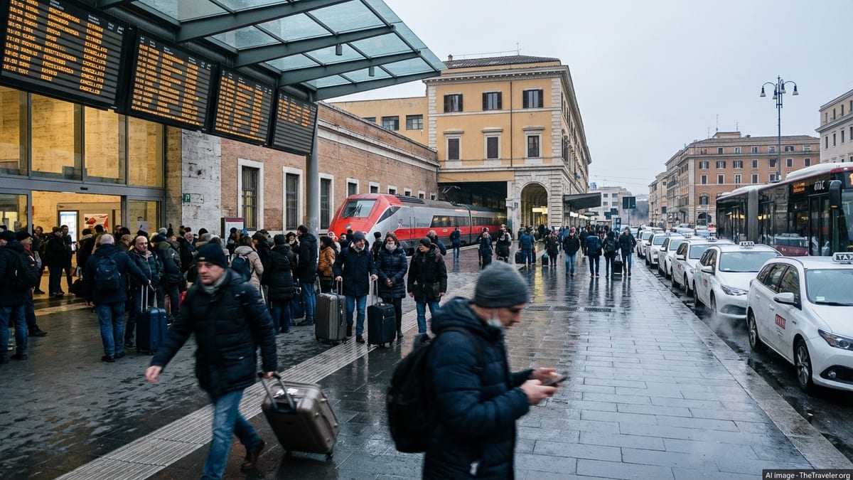
Italy Rail Strike in September: Key Advice for Travelers
A 24 hour national rail strike is set to disrupt trains across Italy in early September. Here is what international travelers should know and how to minimize delays.

I am writing observational travel analysis focused on how travel works beyond the surface.
A 24 hour national rail strike is set to disrupt trains across Italy in early September. Here is what international travelers should know and how to minimize delays.
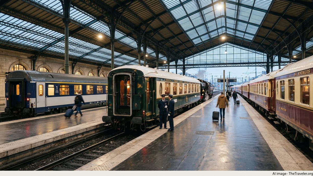
From Britain to Southeast Asia and Italy, new and revived luxury trains are redefining slow travel with heritage carriages, fine dining and cinematic landscapes.
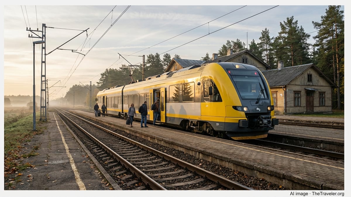
Wellington is moving ahead with battery-electric trains that will replace aging diesel services and reshape regional rail links to Wairarapa and Manawatū from 2029.
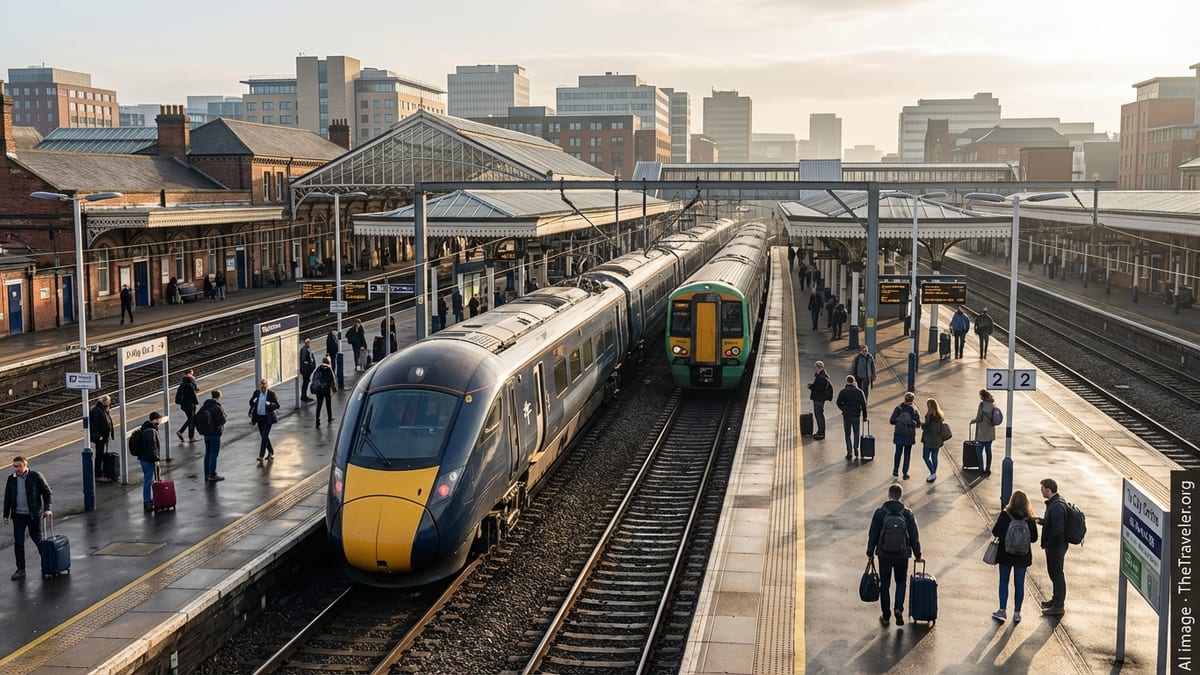
Castle Cary, the main rail gateway to Glastonbury Festival, has unveiled an £835,000 heritage makeover that blends early 20th‑century style with modern accessibility.
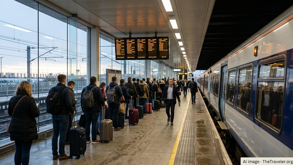
Extensive rail engineering and local construction works are disrupting travel between Altenburg and Zwickau in August 2026, with buses replacing trains and journey times extended.
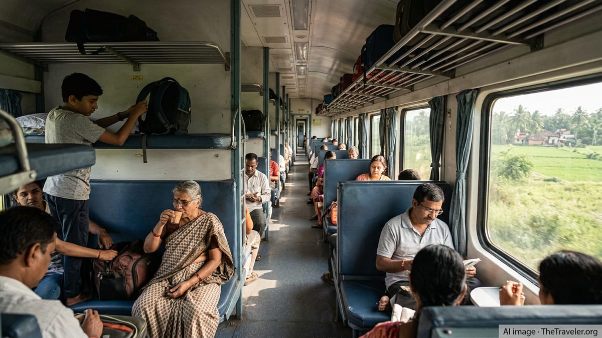
India clears a third Vande Bharat service between Jammu and Srinagar via Udhampur, marking another milestone in the country’s fast‑evolving rail travel revolution.
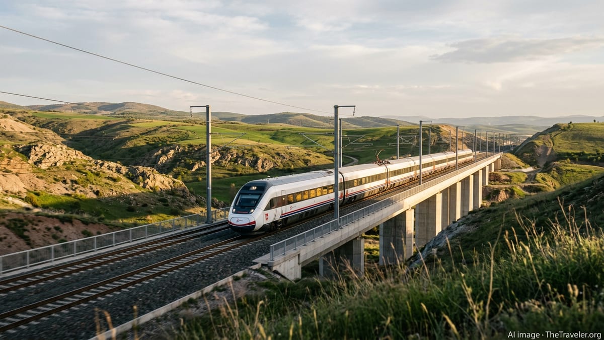
Australia’s first high-speed rail link between Sydney and Newcastle is advancing into a structured development phase, promising faster travel, housing growth and new regional tourism opportunities.
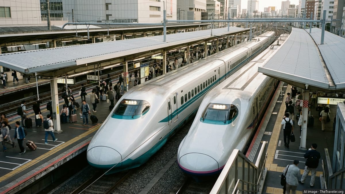
JR Kyushu has begun sourcing part of its Kyushu Shinkansen traction power from new solar facilities, marking a significant step toward low‑carbon high‑speed rail.
Engineering work is closing London Charing Cross and Waterloo East, forcing major diversions for Southeastern passengers and altering key commuter routes into the capital.
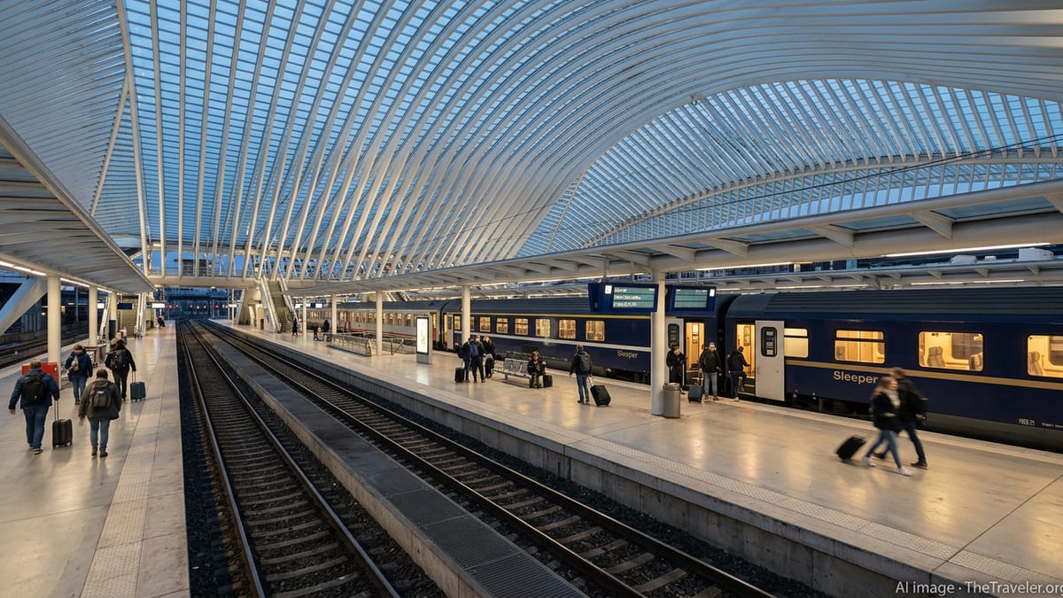
Venice, Amsterdam, Barcelona and Greek islands are tightening rules and fees as Europe’s overtourism fight collides with demand for authentic travel experiences.
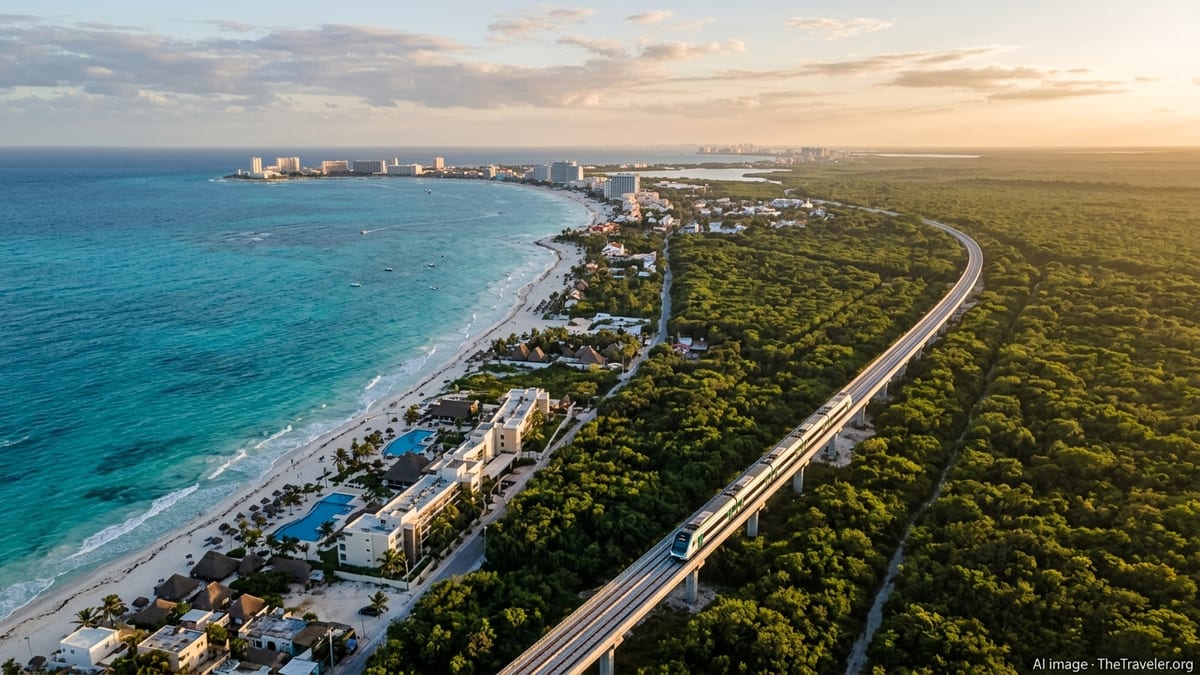
New air links, ferry routes and small-ship cruises are turning Roseau and neighboring islands into hubs where the journey rivals the destination.

Portugal’s tourism receipts have hit fresh highs as global visitor spending reaches new records, with destinations from Spain to Japan cashing in on resilient demand.

Battery powered aircraft are edging toward service, promising quieter, cheaper regional flights that could transform how tourists reach smaller cities and remote destinations.

From Tokyo to Orlando and Paris, Disney is rolling out its most aggressive wave of new lands and attractions in years, reshaping its global theme-park portfolio.
Delta’s decision to relaunch nonstop Seattle–Tokyo Narita flights after a seven‑year gap signals fresh momentum for US–Japan travel and renewed competition at Narita.