


More news on this day
Steady rain and a National Weather Service flood watch in effect through Thursday evening are prompting renewed travel safety warnings for drivers across Bakersfield and greater Kern County.
Get the latest news straight to your inbox!
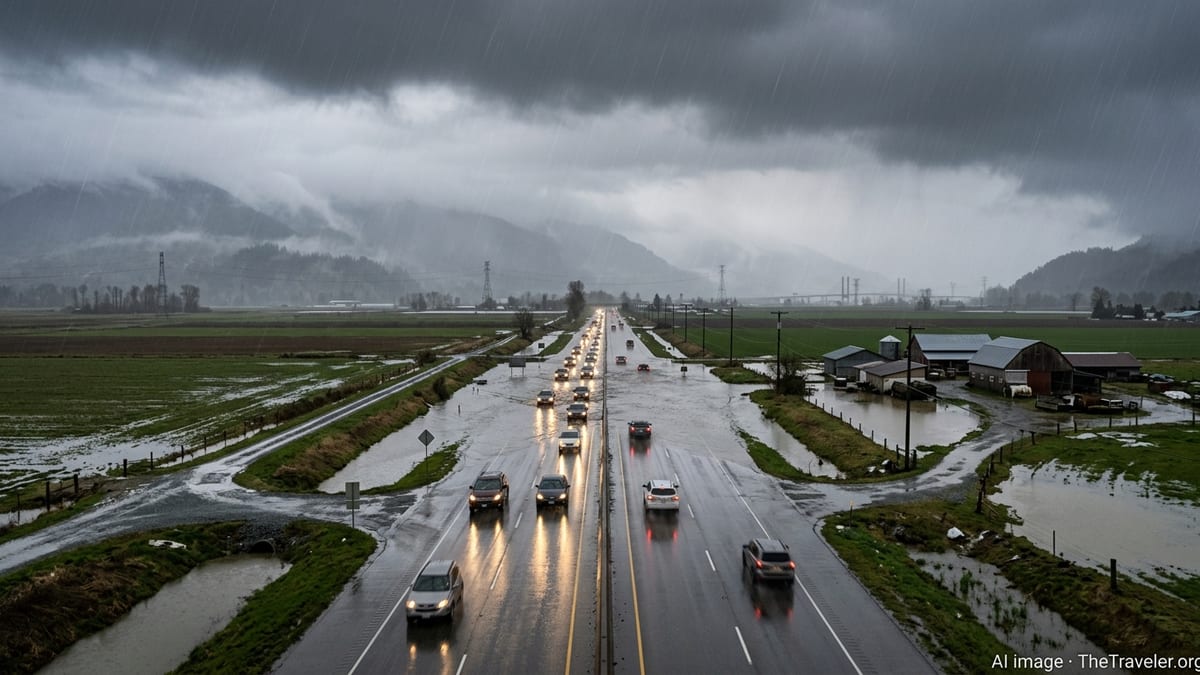
Flood watch covers Bakersfield and key Kern County corridors
Publicly available National Weather Service information shows a Flood Watch in effect for Bakersfield and much of Kern County from Wednesday morning, October 21, through the evening of Thursday, October 22. The alert covers the city of Bakersfield, Buena Vista, the South End of the San Joaquin Valley and major travel routes including the Buttonwillow to Lost Hills stretch of Interstate 5, the Grapevine area, and Tehachapi passes.
Forecast discussions indicate a deep surge of subtropical moisture bringing periods of moderate to heavy rain, with showers and a slight chance of thunderstorms through late Thursday. Digital forecasts for Bakersfield call for daytime highs around 70 to 71 degrees Fahrenheit with a 70 to 80 percent chance of precipitation at times, along with locally heavier downpours where thunderstorms develop.
The Flood Watch highlights the risk of flash flooding where storms repeatedly move over the same locations. Low-lying urban areas, underpasses and poorly drained intersections in and around Bakersfield are listed among the places where water can quickly accumulate, along with normally dry creek beds and washes across southern Kern County.
County-level alert summaries show the watch categorized as a severe alert for the Bakersfield zone, with the potential for localized flooding through at least 8 p.m. Thursday and some mapping tools listing an expiration around 3 a.m. Friday as showers taper off and conditions gradually dry out.
California Highway Patrol issues travel warning for wet, flooded roads
In response to the active weather pattern and flood watch, California Highway Patrol advisories for Kern County are emphasizing slower speeds, greater following distance and extra time for trips in and out of Bakersfield. Publicly available traffic and safety notices highlight the increased risk of hydroplaning on Highways 99 and 58, as well as Interstate 5 over the Grapevine, during heavier bursts of rain.
Recent CHP messaging during similar storm systems in the San Joaquin Valley has underscored that even a small amount of standing water can lead to loss of control at freeway speeds. With the current watch tied to the potential for storms to train across the same stretches of roadway, drivers are being urged to treat water-covered lanes, flooded off-ramps and pooled intersections as potential hazards rather than attempting to drive through them.
Public information from state transportation and safety agencies also points to an elevated risk around construction zones where lane shifts, narrowed shoulders and temporary barriers reduce room for error. In the Bakersfield area, drivers are being reminded to watch for sudden slowdowns, disabled vehicles on shoulders and emergency responders working in reduced visibility.
Statewide traffic safety campaigns linked to wet weather stress the importance of turning on headlights when wipers are in use, checking tire tread and pressure before longer trips, and avoiding cruise control on slick pavement to maintain better control if the vehicle begins to skid.
Key routes around Bakersfield at higher risk for flooding
National Weather Service zone products for Kern County identify several transportation corridors as having elevated risk of flooding and weather-related disruption. These include the South End of the San Joaquin Valley around Bakersfield and Taft, the Buttonwillow to Lost Hills and Interstate 5 corridor, the Grapevine and Tehachapi passes, and outlying areas such as the Kern River Valley and Mojave Desert slopes.
On Highway 99 through Bakersfield, past storms have shown that on- and off-ramps, underpasses and cloverleaf interchanges can collect water quickly when intense rain falls in a short period. The current forecast of showers with embedded thunderstorms raises the possibility of similarly rapid ponding, particularly near drainage inlets that may be partially blocked by debris.
Along Interstate 5 over the Grapevine, CHP and Caltrans updates during previous flood watches have cautioned about reduced visibility in heavy rain, rockfall from saturated slopes and brief lane closures while crews clear debris. The present watch again covers this segment, and public travel guidance encourages drivers to be prepared for slower travel, chain-control style delays in the heaviest cells, and the potential for detours if mud or rock slides affect shoulders.
In eastern Kern County and the desert slopes, the combination of dry, compacted soils and intense rainfall can lead to fast-moving runoff across rural highways. State and county hazard information notes that even shallow flows can sweep vehicles off narrow desert roads, and travel planners suggest avoiding unpaved back routes during the active watch period.
What the flood watch means for residents and visitors
According to the National Weather Service definition used by Kern County emergency planners, a Flood Watch indicates that conditions are favorable for flooding but that flooding is not yet occurring. The current watch was issued roughly 12 to 24 hours before the most significant rain, aligning with standard practice for advance notice, and is intended to give residents and travelers time to adjust plans.
County emergency preparedness materials advise that under a Flood Watch, residents in low-lying neighborhoods around Bakersfield should review local evacuation routes, monitor local media and official alerts, and move vehicles from streets known to collect water. For travelers, the guidance stresses avoiding driving across flooded roadways, turning around if water covers lane markings, and keeping an emergency kit with water, snacks, a flashlight and basic first-aid supplies inside the vehicle.
Travelers with flights in and out of Meadows Field Airport are being encouraged, through general airport and airline advisories for bad-weather days, to check for schedule changes and allow extra time to reach the terminal, given the potential for traffic backups on airport access routes during heavier rain. While commercial flight operations were continuing as of Wednesday afternoon, forecasts indicate variable ceilings and visibility through Thursday.
Visitors passing through Bakersfield on longer drives between Northern and Southern California are being advised to monitor both the Kern County sections of Interstate 5 and alternate routes such as Highway 99 and Highway 58. With the watch extending into Thursday evening, some travel planners are recommending flexible itineraries that allow delays or rescheduling to midday Friday, when forecasts call for gradual clearing and drier conditions.
Safety tips for navigating Bakersfield’s stormy stretch
Public safety campaigns from state agencies outline several practical steps for those who must be on the road while the flood watch is in effect. These include slowing at the first sign of rain, as oil buildup on pavement can create especially slick conditions in the early stages of a storm, and increasing following distance well beyond typical dry-weather norms.
Drivers are also urged to treat dark or reflective water on the roadway as deeper than it may appear, particularly at night. Urban drainage channels, canal crossings and low underpasses around Bakersfield can conceal potholes, debris or missing pavement beneath the surface, and travel safety materials caution that stalling in rising water can quickly turn dangerous.
For those commuting within the city, transit information suggests considering alternatives to driving alone, such as delaying nonessential trips or using bus routes that remain in operation during storms, in order to reduce congestion and collision risk on major arterials. Employers in the region have been encouraged during previous weather events to offer flexible schedules and remote work where possible, and similar adjustments may help reduce peak traffic volumes during the current wet period.
While forecasts from the National Weather Service indicate improving weather and a return to drier, milder conditions heading into the weekend, the combination of an active flood watch, saturated soils and recurring showers means travel across greater Bakersfield is likely to remain challenging through Thursday night.