
More news on this day
Bangladesh has launched emergency dredging at the Matarbari Deep Seaport channel after rapid siltation reduced navigable depth, prompting concerns over vessel safety and the timetable for full port operations.
Get the latest news straight to your inbox!
A young deep seaport under early pressure
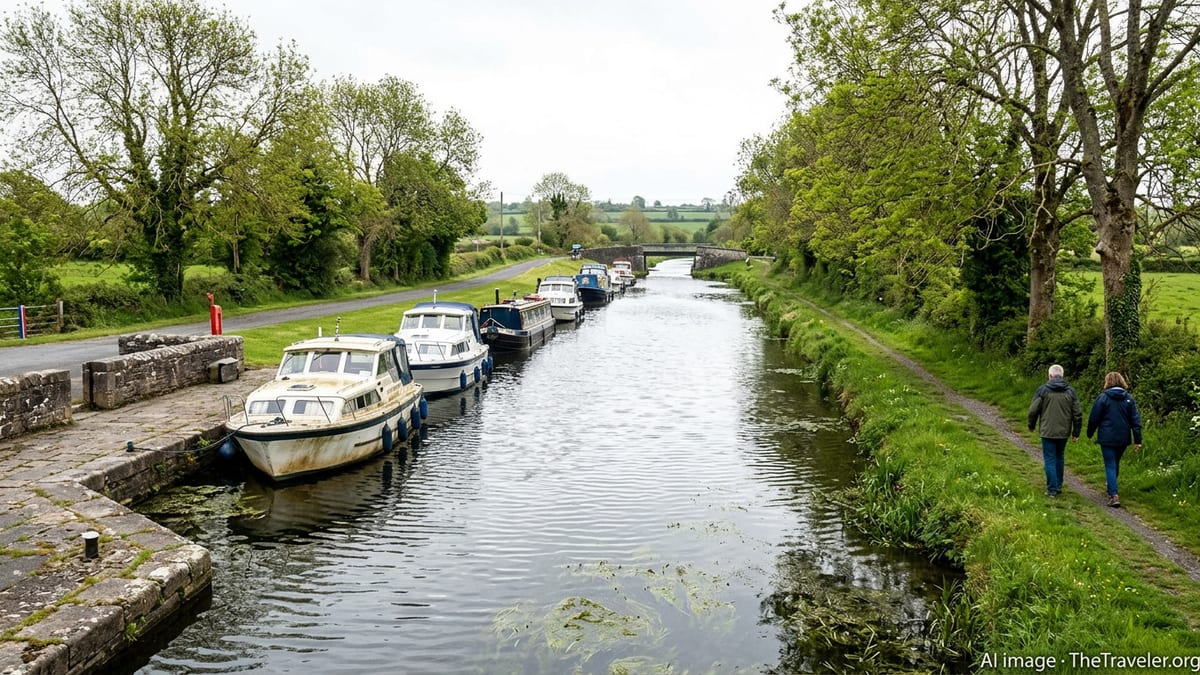
The Matarbari Deep Seaport in Cox’s Bazar is one of Bangladesh’s flagship infrastructure projects, conceived as the country’s first true deep seaport with a 16 meter design draft and a 14.3 kilometer approach channel linking directly to the Bay of Bengal. Planning documents and public briefings describe the channel as 350 meters wide, engineered to handle large container ships and energy carriers that currently call at regional hubs such as Colombo and Singapore.
The navigation channel was initially excavated to serve a nearby coal fired power plant, with later plans expanding its role into a full scale deep seaport managed by the Chittagong Port Authority. Over the past year, preparatory and trial operations have begun using this artificial harbor, ahead of broader commercial activity projected to ramp up around 2026.
Recent reports indicate that natural sediment movements in the nearshore Bay of Bengal, combined with strong monsoon influenced currents, have accelerated siltation in parts of the channel. As a result, draft margins for larger vessels have narrowed, raising operational risks and triggering calls for rapid intervention to preserve navigability.
Against this backdrop, port managers have initiated what is being described in local coverage as emergency or accelerated maintenance dredging to restore the design depth before more regular liner and bulk traffic is introduced.
Depth loss and safety concerns prompt rapid response
Publicly available information from Bangladeshi media indicates that sections of the Matarbari channel have experienced measurable depth loss in recent months, enough to affect passage planning for fully loaded coal carriers and support vessels. While the channel was built to a depth of around 16 meters to accommodate large ocean going ships, sediment accumulation has reportedly reduced the effective draft at several points.
Nautical planners typically rely on a combination of charted depth, squat, under keel clearance and tidal windows when scheduling arrivals. When siltation encroaches on the designed safety margin, the options quickly narrow, particularly in a single access channel such as Matarbari’s. Published analysis of regional ports highlights how similar bottlenecks at other Bangladeshi gateways have constrained ship size and schedule reliability in the past, a scenario policymakers are keen to avoid repeating at the new deep seaport.
According to recent coverage in Dhaka based outlets, the Chittagong Port Authority has therefore moved to deploy a trailing suction hopper dredger to the site. The vessel is tasked with removing accumulated sand and silt from priority stretches of the approach channel and harbor basin so that charted depths more closely match the original design profile ahead of the coming monsoon season.
Reports describe the current campaign as focused on keeping existing energy cargoes moving while setting the stage for a gradual expansion in commercial calls. Restoring depth is seen as a prerequisite for attracting mainline container and bulk services that require consistent draft guarantees to commit vessels to a new port.
How the emergency dredging campaign is being carried out
Information available in local and sector specific publications explains that the dredging work at Matarbari is being executed by a large trailing suction hopper dredger operating within the artificially cut channel. This type of vessel lowers one or more suction pipes to the seabed, loosens the sediment and pumps it into onboard hoppers, which are then sailed to designated disposal or reclamation sites.
The choice of a hopper dredger reflects the relatively long channel length and the need to work efficiently in exposed offshore conditions. Earlier technical studies for the project anticipated that sandy material would dominate deposition in certain sections of the temporary and permanent channels, suggesting that periodic maintenance dredging would be necessary even in the early years of operation.
The present campaign appears to be prioritizing the most constricted reaches of the approach where depth reductions are greatest relative to design. Publicly available material on similar Bangladeshi dredging programs indicates that operations are typically scheduled to minimize disruption to vessel movements, with dredgers working in defined windows between port calls or on one side of the fairway at a time.
In addition to restoring depth, the current works are expected to generate updated hydrographic data that will inform future maintenance cycles, including the likely frequency and volume of dredging needed as the port transitions from project cargoes to full scale commercial operations.
Strategic stakes for Bangladesh’s maritime network
The emergency dredging effort at Matarbari comes at a critical moment for Bangladesh’s broader port strategy. Existing seaports such as Chattogram and Mongla are constrained by shallower approaches that limit the size of ships they can handle, forcing much of the country’s long haul container and bulk traffic to rely on feeder connections through deeper regional hubs.
Government policy documents and multilateral studies portray Matarbari as a way to break that pattern by offering a deep draft gateway capable of handling larger vessels directly. The port is also intended to anchor an industrial and energy corridor in the Matarbari Moheshkhali area, tying together power plants, LNG facilities and manufacturing zones with improved maritime access.
Any indication that the channel could rapidly lose depth without intensive maintenance raises questions about long term dredging budgets and cost recovery models. Analysis by Bangladeshi researchers has pointed out that sustaining a 16 meter navigation channel in a high sediment environment will require predictable funding, whether through port dues, user charges, or government support.
For shipping lines, the stability of navigational conditions is as important as initial depth. If Matarbari can demonstrate that it can maintain reliable draft and safe access through timely interventions such as the current campaign, it strengthens the case for routing larger vessels directly to Bangladesh rather than relying solely on regional transshipment hubs.
Environmental and community considerations
Intensified dredging activity in a relatively confined coastal zone has also drawn attention to environmental and community impacts. Academic and technical literature on harbor dredging in South Asia highlights potential risks such as increased turbidity, disturbance of benthic habitats and changes to nearshore sediment dynamics that can affect fisheries and coastal erosion patterns.
Project documentation for Matarbari notes that the port sits near traditional fishing grounds and coastal communities that depend on nearshore resources. Managing dredged material placement is therefore a key issue, with planners weighing options such as offshore disposal in designated sites or beneficial use for land reclamation and coastal protection, subject to environmental approvals.
Recent public statements related to national river and harbor dredging programs in Bangladesh emphasize a growing emphasis on combining navigational improvements with environmental safeguards. In the case of Matarbari, the emergency nature of the current campaign is likely to be balanced against requirements in the project’s environmental management plans, which call for monitoring of water quality, sediment plumes and ecological indicators around the dredging zone.
How effectively these measures are implemented during the present works will help shape public perception of the deep seaport as it moves from construction toward full scale operation, and may influence future conditions attached to maintenance dredging cycles in the navigation channel.