


More news on this day
Travelers heading through some of the nation’s busiest hubs are being urged to prepare for longer lines and potential missed connections after the Federal Aviation Administration’s latest outlook flagged 14 major US airports for possible weather-related delays in the coming days.
Get the latest news straight to your inbox!
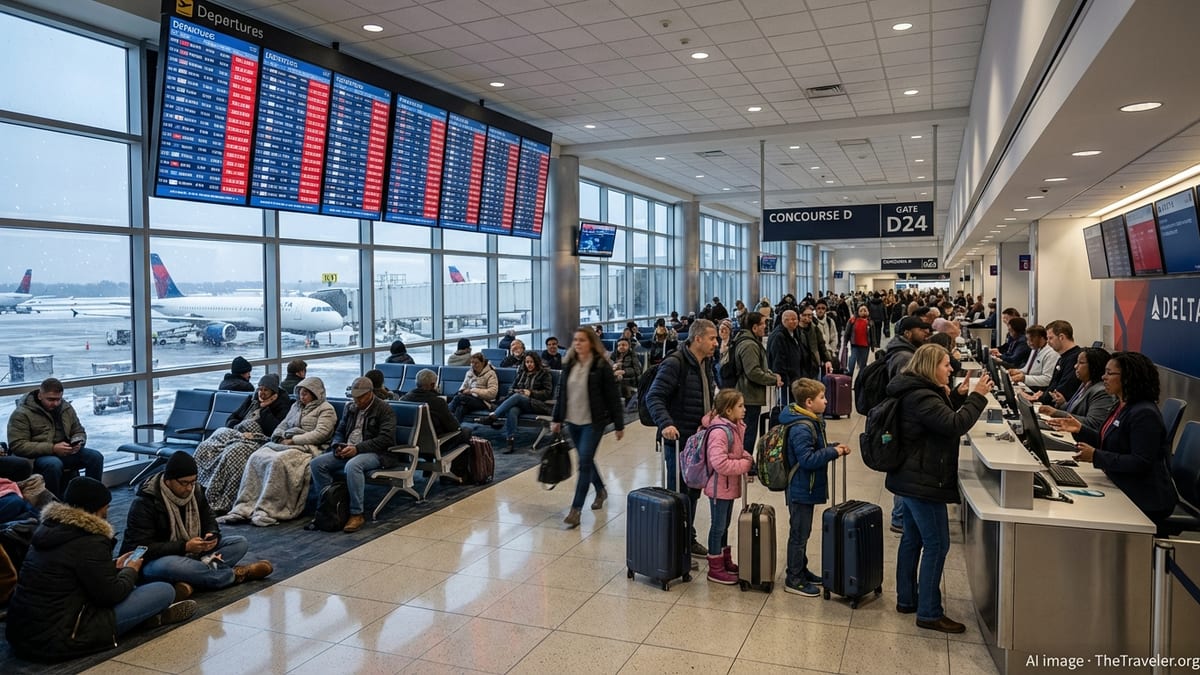
FAA Outlook Highlights Weather Risks at Busy Hubs
According to the FAA’s daily air traffic planning report and publicly available status data, the agency is warning of possible ground stops, ground-delay programs and flow restrictions driven primarily by storms, low clouds and high winds at a cluster of large coastal and mid‑continent airports. The advisory language indicates that conditions at these locations may require holding flights at departure points or slowing arrival rates if forecast weather deteriorates.
Summaries of the national airspace system show that the 14 airports of concern include major Northeast and Mid‑Atlantic gateways such as Boston Logan, New York LaGuardia and Washington National, as well as Seattle‑Tacoma in the Pacific Northwest. These hubs routinely rank among the country’s most delay‑sensitive airports because they sit in congested air corridors and are exposed to coastal storm tracks during the late autumn travel period.
The FAA’s planning documents emphasize that a weather “flag” is not a guarantee of disruption, but a signal that traffic managers may need to activate formal delay programs if visibility, ceiling or wind trends worsen. Independent trackers that compile live FAA status feeds echo the same picture, showing potential weather‑driven constraints at a small set of major hubs even when no nationwide delay initiative is in force.
Data compiled from federal air traffic reports also show that weather remains one of the leading sources of knock‑on delays in the US system, even when it is not the primary cause of an individual late flight. When high‑volume hubs slow down, the resulting congestion can ripple across airline networks for hours.
Which Airports Are Most Exposed
The current FAA operating outlook highlights a mix of coastal and inland airports where forecast winds, low clouds or precipitation may force controllers to reduce arrival and departure rates. Boston Logan and New York LaGuardia are listed because of a strong coastal system expected to bring low ceilings and gusty crosswinds, which can limit the use of key runways and require additional spacing between aircraft.
In the Mid‑Atlantic, Washington National appears in the planning narrative as a possible candidate for departure metering or temporary holding if visibility along the Potomac River approach drops below preferred thresholds. The airport’s position in constrained airspace near downtown Washington makes it particularly sensitive to low clouds and reduced visibility, leading air traffic managers to move quickly when conditions deteriorate.
On the West Coast, Seattle‑Tacoma International Airport has been flagged due to an incoming Pacific frontal system forecast to bring periods of heavy rain, low clouds and shifting winds. Publicly accessible aviation weather forecasts for Seattle point to temporary reductions in visibility and cloud ceiling, conditions that often lead the FAA and local controllers to slow arrival flows into the region’s main international gateway.
The remainder of the 14 airports identified in the outlook consists of other large hubs that frequently feature in FAA planning discussions when storm systems sweep across the Great Lakes, the central United States or the Southeast. The exact list can change through the day as new forecast runs arrive, which is why the FAA directs passengers and airlines to monitor its national status pages and carrier flight‑status tools rather than relying on any single early‑morning projection.
How FAA Weather Flags Translate Into Delays
Travelers often first encounter the effect of FAA weather flags through two main tools: ground stops and ground‑delay programs. A ground stop temporarily holds departing flights at their origin airports when the destination cannot safely or efficiently accept more traffic, while a ground‑delay program meters inbound flights over several hours by assigning controlled departure times. FAA reference material notes that both are standard traffic‑management responses and can be triggered by thunderstorms, low clouds, strong winds, runway constraints or equipment issues.
Public dashboards that pull from the FAA’s National Airspace System Status feed show each active ground stop or delay program, along with the stated reason. When weather is cited, it typically reflects conditions such as low ceilings below instrument‑landing minima, crosswinds near or above the limits that certain runways can safely accommodate, or thunderstorms close to arrival and departure paths. For passengers, this can translate into pushes of 30 minutes to several hours, and in more extreme cases, missed connections requiring rebooking.
The FAA’s own planning report underscores that even airports not directly under a ground stop can feel the impact when a major hub slows down. Airlines may hold connecting flights, adjust crew schedules or swap aircraft to recover from early‑day disruptions. Historical FAA statistics grouped by “Core 30” large airports show that a small number of major hubs account for a disproportionate share of total system delays, which is why a weather flag on a single coastal airport can quickly affect flights hundreds or thousands of miles away.
Analysts who review federal data also point out that formal delay programs are just one piece of the puzzle. Informal spacing increases, reroutes around storm cells and extended taxi‑out times during peak departure banks all add minutes that rarely show up on high‑level dashboards but still affect what time passengers arrive at their gates.
What Today’s Outlook Means for Travelers
For travelers with upcoming itineraries through any of the 14 flagged airports, the most immediate implication is the need for extra buffer time and flexibility. The FAA advises the public, through its air traffic report and status pages, to check with airlines for flight‑specific delay information, while independent trackers recommend leaving additional time for security, boarding and potential rebooking, especially when making tight connections at weather‑sensitive hubs.
Disruption risk is typically highest during early‑morning and late‑afternoon peak banks, when large numbers of arrivals and departures are compressed into short windows. If low clouds or strong winds reduce the number of aircraft that can land or take off per hour at a flagged airport, airlines often must delay or cancel some flights to remain within the reduced capacity. That effect is amplified during holiday or weekend surges, when schedules are already close to the airport’s maximum sustainable throughput.
Passengers connecting through the Northeast, Mid‑Atlantic or Pacific Northwest in the coming 24 to 48 hours may want to favor longer layovers or, where possible, itineraries that avoid multiple weather‑exposed hubs in a single day. Travel advisors who track FAA and airline data note that even a modest schedule change at a major airport can cascade into missed onward flights, particularly for international passengers who must clear customs and immigration before reboarding.
At the same time, the presence of a weather flag in the FAA outlook does not automatically mean a trip will be disrupted. If storms track slightly farther offshore, or if low clouds lift earlier than expected, traffic managers can stand down planned restrictions and allow normal throughput. This uncertainty explains why the agency and most tracking services stress that their information should be treated as guidance about risk rather than a forecast of specific flight outcomes.
Tools Travelers Can Use to Stay Ahead
To navigate days when the FAA highlights multiple airports for potential weather delays, experienced travelers increasingly rely on a combination of airline apps, airport operations dashboards and third‑party delay trackers that mirror live FAA data. These services draw directly from federal feeds listing active ground stops, ground‑delay programs and arrival or departure restrictions, and in some cases overlay that information with current weather reports and historical on‑time performance.
The FAA’s own daily air traffic report outlines where its planners expect the most significant constraints, while the agency’s national status pages show which specific initiatives are in place at any given moment. Independent sites built on the same public data present that information in more visual formats, such as color‑coded maps of major hubs or airport‑by‑airport delay tables sorted from most to least affected.
For individual passengers, the most consequential step is often to enable real‑time notifications from airlines and to monitor flight‑status boards before leaving for the airport. When conditions worsen at one of the 14 flagged hubs, carriers may proactively offer no‑fee rebooking or same‑day standby options, but these are frequently time‑limited and subject to seat availability. Watching the evolving pattern of FAA programs and local weather can help travelers decide whether to accept an early change, aim for a later departure or, in severe cases, postpone non‑essential trips.
As late‑autumn systems continue to move across the country, similar FAA outlooks flagging clusters of major airports for weather risk are likely to recur. For travelers, learning how to interpret those alerts and pairing them with up‑to‑date airline information can make the difference between an unexpectedly long day in the terminal and a relatively smooth, if slightly delayed, journey.