
More news on this day
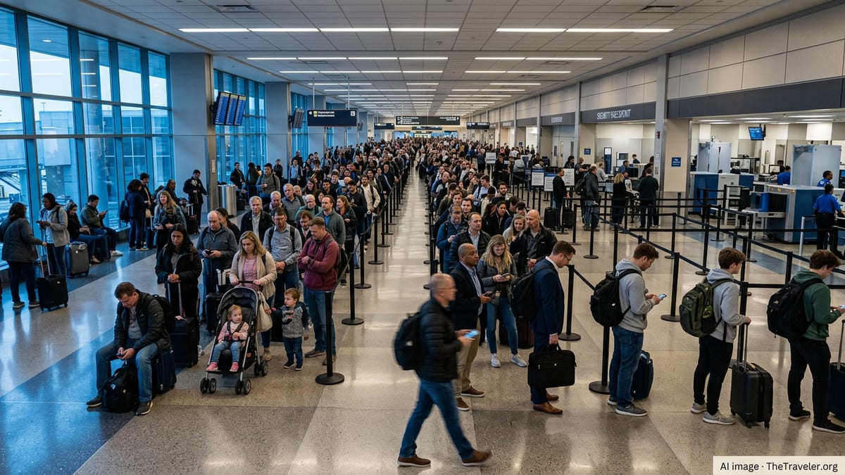
After several days of thunderstorms, heavy rain and turbulent skies across multiple regions of the United States, the Federal Aviation Administration has started the week with a new planning warning covering 18 major airports, signaling that weather-related delays and cancellations are likely to persist for air travelers.
Get the latest news straight to your inbox!
Weather Turbulence Keeps Pressure On U.S. Hubs
The new alert follows a stretch of severe weather that has repeatedly slowed operations at some of the country’s busiest hubs. Over the past week, storms have triggered ground stops and extended delays at airports serving Houston, Chicago and Atlanta, among others, as convective systems swept across the Gulf Coast, Midwest and East.
In Houston, thunderstorms over the weekend prompted an FAA ground stop and ground delay program at George Bush Intercontinental Airport, with average delays close to an hour for arriving flights. Similar conditions earlier in June led major carriers to post weather waivers for travelers through key hubs in Texas and the broader Gulf region, reflecting concern that storm patterns would remain unstable.
Chicago O’Hare and nearby Midway have also faced repeated interruptions as heavy rain, lightning and the risk of severe storms moved across northern Illinois. Publicly available information shows that the FAA has relied on ground delay programs there to manage traffic flows, as airlines warned passengers of rolling disruptions tied to thunderstorms and low visibility.
In the Southeast, Atlanta’s Hartsfield-Jackson airport, one of the world’s busiest, experienced a notable ground stop in May due to strong storms. Aviation forecast data and local coverage indicate that similar weather systems are again possible as moisture from recent tropical activity interacts with unstable air over the region.
Tropical Moisture And Severe Storms Drive Ongoing Risk
The timing of the FAA’s latest warning coincides with lingering impacts from Tropical Storm Arthur in the Gulf of Mexico and a series of strong storm clusters across the central United States. Arthur, the first named storm of the 2026 Atlantic hurricane season, came ashore near the Texas coast last week, soaking coastal areas and contributing to flooding concerns from Houston eastward into Louisiana.
Meteorologists tracking Arthur’s remnants and subsequent storm systems have highlighted the unusual distribution of rain, with some Gulf Coast airports reporting several inches in short periods while nearby communities saw relatively lighter totals. Such localized downpours can rapidly push airports into delay programs when visibility drops or lightning nears ramp areas, even if conditions appear manageable just a few miles away.
Farther north, forecasters have flagged the risk of severe weather across parts of the Midwest and interior South, including high winds, large hail and isolated tornadoes. These hazards tend to be particularly disruptive to aviation because they can force rapid changes in runway usage, slow departures and arrivals, and occasionally prompt temporary airspace closures around major hubs.
According to aviation weather research, convective storms remain one of the leading causes of flight delays in the United States, especially in late spring and early summer when warm, humid air masses interact with stronger upper-level systems. The recent FAA airport advisory reflects that seasonal pattern, pointing travelers toward an unsettled start to the week.
Eighteen Major Airports Under Planning Advisory
Flight planning data and air traffic logs point to 18 large U.S. airports being highlighted in the FAA’s latest system-wide advisory, a planning tool that alerts airlines and travelers to locations where significant constraints are likely. While the exact mix can shift as conditions evolve, the current focus includes key hubs in the Northeast, Midwest, Gulf Coast and Southeast.
Airports in the New York and Washington regions are among those frequently featured when thunderstorms and low clouds threaten the I-95 corridor. Heavy rain and unstable air along the Eastern Seaboard have already led some airlines to extend travel waivers for major East Coast gateways in recent days, signaling expectations of more congestion as storms redevelop.
In the nation’s center, major Midwest hubs such as Chicago O’Hare and other large regional airports are included due to repeated rounds of thunderstorms and associated wind shear. Published coverage shows that airlines have been monitoring the situation closely, citing a pattern of afternoon and evening storms that complicate already busy departure banks.
On the Gulf Coast and in the Southeast, the combination of lingering tropical moisture and daytime heating continues to generate pop-up storms around airports such as Houston Bush Intercontinental and Atlanta Hartsfield-Jackson. The FAA planning warning underscores that even brief but intense cells near these mega-hubs can cascade into hours of disruption as aircraft and crews fall out of position.
What Travelers Can Expect In The Coming Days
For passengers, the advisory at 18 major airports means that schedules may remain fragile, particularly during afternoon and evening peak periods when thunderstorms are most likely to flare. Industry data and recent airline communications suggest that same-day rebooking options may be limited on heavily traveled routes, especially when multiple hubs are affected at once.
Travel experts note that the current pattern of slow-moving storms and high humidity often produces short but intense weather impacts. Even when the worst of the weather passes quickly, it can take hours for operations to normalize as aircraft return to their assigned routes and crews reach legal duty limits. That dynamic has been visible in recent days in both Houston and Chicago, where delays persisted well after the heaviest rain had ended.
Publicly available guidance indicates that travelers with flexible plans may benefit from targeting early morning departures, when storms are typically less active and recovery from overnight disruptions is more advanced. Those connecting through multiple hubs in affected regions may face a higher risk of missed connections if delays stack up through the day.
At the same time, industry forecasts suggest that demand for summer travel remains strong, leaving airlines with fewer spare seats to accommodate last-minute changes. That reality heightens the impact of any FAA warning that encompasses a broad set of major airports, as even moderate delays can ripple across the network.
Outlook For The Week Ahead
Forecast discussions from meteorological services point to continued unsettled weather across large parts of the central and eastern United States in the coming days. Remnant tropical moisture near the Gulf, combined with an active jet stream over the Midwest and Northeast, is expected to maintain a daily risk of thunderstorms near several of the airports named in the FAA advisory.
Some improvement is possible later in the week if frontal boundaries move offshore or drier air filters into the interior. However, the early-season appearance of a named tropical storm and multiple severe weather clusters serves as a reminder that the peak of the Atlantic hurricane season has yet to arrive, and that disruptions may become more frequent later in the summer.
Aviation planning documents suggest that the FAA and airlines are continuing to rely on a mix of ground delay programs, reroutes and flow control measures to manage the strain. For travelers, the start-of-week warning at 18 major U.S. airports is a clear signal to remain vigilant about changing conditions and to expect that weather will remain a central factor in flight reliability as June progresses.