


More news on this day
A yellow weather warning for dense fog has swept across the East of England, cutting visibility to below 100 metres in places and causing early-morning disruption for road users and travelers moving through one of the United Kingdom’s key transit corridors.
Get the latest news straight to your inbox!
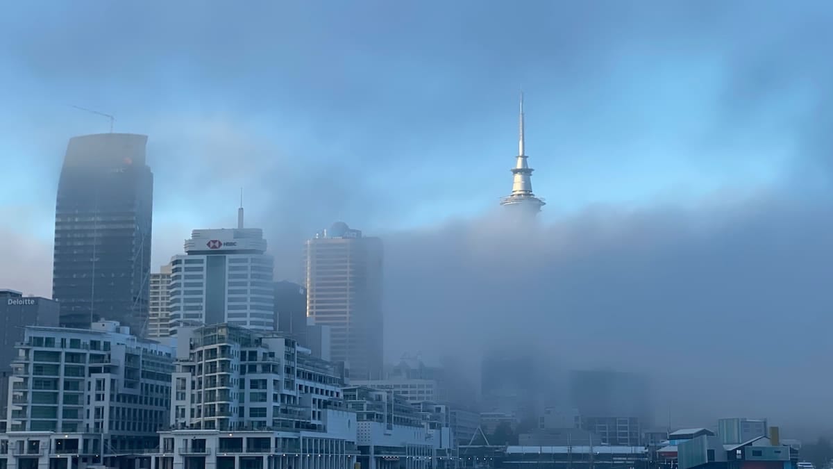
Yellow fog alert follows week of unsettled UK weather
The latest fog alert, covering the East of England along with parts of the Midlands and South East, follows a week in which the Met Office highlighted a shift from stormy, windy conditions to calmer but fog-prone weather. Publicly available forecasts describe widespread overnight mist and fog, locally dense, forming under clearer skies and lighter winds after recent Atlantic storms moved away from the UK.
According to open regional forecasts for the East of England, fog patches developed overnight and into the early hours, with some areas expected to see slow improvement through the late morning. In a few rural locations, particularly away from the coast, visibility has been expected to remain poor into the early afternoon as cooler air traps moisture near the ground.
Historical warning data compiled by independent monitoring sites shows that the yellow fog warning for Friday 30 October 2026 was valid until 10:00 GMT, with the East of England specifically named among the affected regions. The same datasets describe the warning text as highlighting dense fog, with visibility occasionally falling below 100 metres and the potential for travel disruption at the start of the day.
National weather blogs and outlooks over the past week have repeatedly flagged the risk that clear nights and light winds would allow fog to form widely, especially across central and eastern England. Those outlooks indicated that while wind and rain impacts were easing compared with the recent named storms, the focus of weather-related disruption was likely to shift onto poor visibility for drivers and transport operators.
Travel disruption for drivers, rail passengers and air travelers
News coverage of the yellow fog warning indicates that the most immediate impact has been on the region’s morning commute, with drivers on key routes across Cambridgeshire, Suffolk, Norfolk, Bedfordshire, Hertfordshire and Essex facing significantly reduced visibility. Standard safety advice in such conditions includes lowering speed, using dipped headlights and fog lights where appropriate, and allowing extra room for braking.
Publicly available transport updates for recent UK fog events show that thick fog of this kind commonly leads to slower-moving traffic on major roads such as the A1, A11, A12 and A14, where a combination of reduced visibility and heavier commuter volumes tends to create bottlenecks. On more rural A-roads and local routes, the absence of street lighting can make sudden banks of fog particularly hazardous, especially before sunrise.
Rail services through the East of England are less directly affected by fog than by wind or flooding, but operators across the wider region have previously reported minor knock-on delays where low visibility requires more cautious train movements or contributes to late-running services feeding into main lines. Open performance and customer reports from recent autumn and winter periods indicate that early-morning commuter services into London from Norwich, Ipswich, Cambridge and Peterborough can be vulnerable to weather-related delays when visibility is poor.
Air travel is also sensitive to dense fog, and major airports serving the East of England and nearby regions have a history of disruption in similar conditions. Past coverage of UK fog events shows that London Stansted, Luton and Norwich airports have all experienced temporary restrictions on take-offs and landings while low cloud and poor visibility are in place, with knock-on delays and occasional cancellations as aircraft and crew become displaced.
Understanding yellow fog warnings and what they mean
Guidance from the Met Office on the National Severe Weather Warning Service explains that a yellow warning is used when weather is expected to cause low-level impacts in some places, such as travel disruption, but where many people will still be able to continue their normal activities. For fog, such a warning signals that visibility may fall low enough to affect driving conditions, journey times and some public transport services, particularly around busy commuting periods.
Background material on the warning system emphasises that yellow alerts can reflect either a relatively low likelihood of high impacts or a higher likelihood of more minor impacts spread over a wider area. For dense fog across the East of England, the current situation corresponds to widespread but generally short-lived disruption to travel, with conditions forecast to improve gradually through the day as the fog thins.
Meteorological briefings published in recent days describe how clear night skies, light winds and moist air moving in from the North Sea create ideal conditions for radiation fog to form. With the ground cooling rapidly after sunset, moisture in the lowest layers of the atmosphere condenses into tiny droplets, producing a thick, ground-hugging cloud that can persist well into the morning if winds remain light and sunshine is limited.
Specialist blog analysis notes that while fog does not generate the dramatic images associated with storms or heavy rain, it can be just as disruptive in specific contexts, particularly on busy motorway junctions, dual carriageways and around airports. The combination of dense fog, bright low-angle autumn sun once the sky begins to clear, and wet or leaf-covered road surfaces can further complicate conditions for drivers.
What travelers across the region should expect
For road users in the East of England, publicly available guidance for fog events advises planning extra time for journeys and being prepared for rapidly changing visibility over very short distances. Sections of road that appear clear can quickly lead into dense patches of fog around river valleys, low-lying farmland and wooded areas. Travelers are encouraged to use dipped headlights rather than full beam, which can reflect off the fog and make visibility worse.
Coach and bus services are generally expected to continue operating, although journey times may be extended on inter-urban corridors where traffic is heavier. Historical public timetables and operator updates from previous fog events suggest that early-morning school and commuter services are more likely to be delayed than cancelled, with drivers adjusting speeds to match the conditions and schedules flexing accordingly.
Rail passengers planning to travel into or within the East of England are being advised, via operator channels, to check their chosen service before setting out. While the rail network is relatively resilient to fog compared with other weather hazards, low visibility can still slow operations at busy junctions and terminals, and can contribute to minor delays when combined with other seasonal factors such as leaf fall.
Air passengers using airports that serve the wider East of England region may encounter longer check-in queues and extended holding times if low visibility procedures remain in force through the morning. Open information from previous UK fog episodes shows that airlines typically prioritise safety by spacing aircraft movements further apart and, in some cases, diverting or postponing flights until visibility improves.
Outlook: lingering fog risk as the season progresses
Seasonal outlooks discussed in recent Met Office blogs suggest that, after an active spell of autumn storms, the UK is entering a phase of more settled but potentially foggier weather, particularly across England and Wales. For the East of England, that pattern points to an elevated risk of further mist and fog episodes on calm, clear nights during the coming weeks, especially where ground remains damp from earlier rainfall.
The East of England regional forecast for Saturday 31 October 2026 highlights that any residual mist and fog is likely to lift only slowly during the morning, with some patches possibly lingering into the afternoon before brighter spells develop. Travel conditions should therefore steadily improve, but those setting out early are still likely to encounter pockets of poor visibility, especially away from urban centres.
Climate and hazard commentary from forecasters notes that, although fog warnings are less frequent than alerts for wind and rain, they remain an important part of the UK’s seasonal risk profile. Dense fog tends to cluster in the cooler months from autumn into early spring, when longer nights and lower sun angles allow temperatures near the ground to drop more sharply.
For travelers and residents across the East of England, the current fog warning serves as a reminder to check short-range forecasts before early starts, particularly when driving long distances or connecting with rail and air services. As the season progresses, similar conditions are expected to recur on suitable nights, making situational awareness and flexible travel planning essential parts of staying safe on the move.