


More news on this day
Hawaii’s air travel network is preparing for major disruption this weekend as Hurricane Lowell, currently a powerful Category 4 storm south of the islands, is forecast to move closer to the state and bring dangerous surf, heavy rain and disruptive winds to key airport hubs.
Get the latest news straight to your inbox!
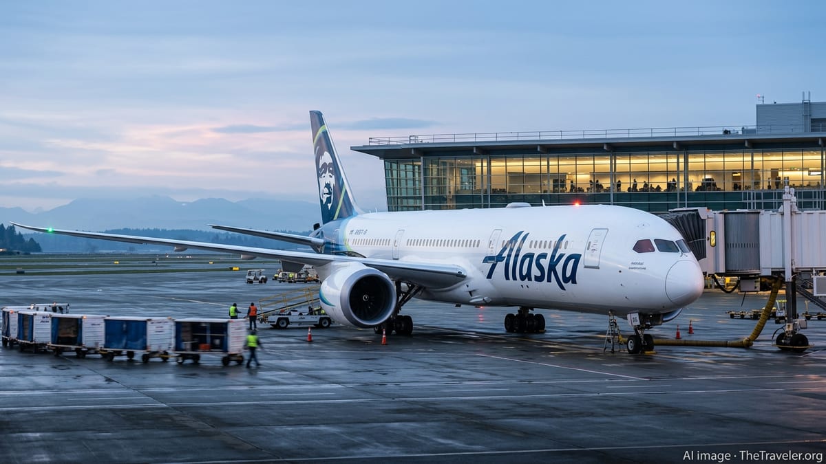
Category 4 Hurricane Tracks Closer to the Islands
Public advisory data from the Central Pacific Hurricane Center shows Hurricane Lowell churning south of Hawaii as a major Category 4 system, with maximum sustained winds near 150 miles per hour as of late Friday, September 4. The hurricane is located several hundred miles south to southwest of Honolulu and Lihue, moving generally westward while maintaining intense strength over very warm waters.
Forecast discussions indicate that Lowell is expected to remain near major hurricane intensity as it tracks westward through the central Pacific, then begins a gradual turn northward late this weekend and early next week. Computer models and official forecast tracks have repeatedly shifted the projected path closer to the western end of the island chain, increasing concern for Kauai County and, to a lesser extent, Oahu.
Recent forecast guidance referenced by meteorological outlooks suggests Lowell could approach the vicinity of Kauai and possibly Oahu early in the new week, with the center likely passing west or just northwest of the main populated islands. Even without a direct landfall, the storm’s expansive wind field, rainfall shield and high surf are poised to affect island infrastructure, including coastal roads and airports that sit close to sea level.
Area forecast discussions for Hawaii note that Lowell’s impacts may extend hundreds of miles from the center, especially in the form of large, dangerous surf and bands of heavy showers. The combination of persistent onshore winds, building seas and localized downpours is expected to degrade travel conditions across the state’s primary air and ground transportation corridors over several days.
Why Hawaii’s Airports Are Vulnerable to Tropical Cyclones
Most of Hawaii’s major airports lie along low-lying coastal plains, making them especially exposed to the hazards that accompany a strong hurricane in the region. Honolulu’s Daniel K. Inouye International Airport, Maui’s Kahului Airport and Kauai’s Lihue Airport all feature runways oriented to prevailing trade winds and situated near the shoreline. When a powerful system like Lowell passes nearby, those design features can shift from an advantage in normal trade-wind patterns to a liability in storm-force gusts and crosswinds.
High-resolution forecast products show the potential for tropical-storm-force winds spreading well out from Lowell’s core as it moves northward, especially across the western half of the state. Sustained winds or gusts near or above airline operating thresholds can force flight diversions, delays and ground stops, particularly during takeoff and landing windows. Even before threshold winds arrive, airlines often trim schedules into or out of threatened airports to avoid having aircraft and crews stranded on the wrong side of a storm.
In addition to wind, rainfall expectations tied to Lowell are raising alarms for aviation planners. Forecast discussions point to the risk of heavy rain bands sweeping across parts of the state as the hurricane’s outer circulation brushes the islands. Intense downpours can reduce visibility below landing minimums, create standing water on runways and taxiways, and trigger short-notice holds or go-arounds that ripple through tightly timed interisland schedules.
Storm-driven surf and coastal flooding add a further layer of complexity. Marine forecasts highlight the likelihood of very large swells wrapping into south and west facing shores as Lowell approaches. At some airports, access roads and nearby coastal infrastructure are vulnerable to wave runup and saltwater intrusion, raising the prospect that airport operations could be constrained not just by airborne weather but by conditions on the ground.
Growing Expectations of Widespread Flight Delays and Cancellations
With Lowell projected to be near major hurricane strength as it edges closer to Hawaii, aviation and tourism observers now expect widespread flight disruptions from late weekend into early next week. Based on past hurricane events in the central Pacific and the current forecast evolution, potential impacts include preemptive schedule reductions, rolling delays, cancellations and diversions affecting both mainland and interisland routes.
Publicly available airline advisories typically evolve as storm tracks and intensity forecasts become clearer. Industry practice in similar scenarios has involved issuing flexible travel waivers for passengers scheduled to fly into, out of or through affected airports during the highest-risk windows. Given Lowell’s timing, such waivers could focus on travel through Kauai’s Lihue and Honolulu, with knock-on effects for connections to Maui, Hawaii Island and other Pacific destinations that rely on Honolulu as a hub.
Even travelers not directly within the hurricane’s projected path may feel the effects. Interisland networks rely on aircraft that cycle quickly between islands throughout the day. When several of those aircraft are delayed, diverted or temporarily grounded at one airport, the ensuing gaps can cascade into missed connections, limited same-day rebooking options and longer-than-normal waits for available seats.
Aviation planners also need to reserve time before and after the peak of the storm’s impact to reposition aircraft and crews. This often means that disruptions begin earlier than the worst weather and linger after skies begin to clear, as airlines work through backlogs, inspect infrastructure and verify that navigation aids and communications systems are fully operational.
What Travelers to and from Hawaii Should Expect This Weekend
Travelers planning to arrive in or depart from Hawaii over the coming weekend and early next week face a heightened risk of schedule changes as Lowell’s track and intensity evolve. Based on current forecast timing, the most significant impacts to western islands such as Kauai and possibly Oahu are projected for around Monday, September 7 and into Tuesday, though deteriorating marine and wind conditions may begin sooner and linger later.
Public-facing forecast discussions encourage residents and visitors alike to monitor updated advisories from the Central Pacific Hurricane Center and local weather offices multiple times per day as Lowell draws closer. Track shifts of only a few dozen miles can substantially alter which islands experience the strongest winds, heaviest rain and largest surf, and therefore which airports and routes are most affected.
Passengers are widely encouraged in published travel guidance to confirm their flight status frequently through airline apps and websites and to ensure that notification settings are turned on for real-time updates. Those with flexible travel windows may find it easier to adjust plans in advance of any formal schedule changes by moving trips a day earlier or later, when seats remain available and rebooking options are broader.
Visitors already in Hawaii are also urged in widely shared preparedness materials to think ahead about where they will shelter if conditions worsen, especially on Kauai and Oahu. Lodging providers may adjust check-in and check-out procedures, and ground transport services could be slowed or suspended during periods of high wind and localized flooding. All of these factors can influence the practicality of reaching the airport safely, even if flights are operating.
Monitoring Emerging Guidance as the Forecast Evolves
Although there were no coastal watches or warnings in effect for Hawaii as of the latest Friday advisories, official products stress that this could change quickly as Lowell advances northward. Forecast narratives emphasize that watches may be required for portions of the western Hawaiian Islands if confidence grows that the hurricane will pass close enough to bring sustained tropical-storm-force or stronger conditions.
Experience from previous central Pacific hurricanes, including long-track major systems that have passed south or west of Hawaii in recent seasons, shows that serious impacts can occur even without a direct landfall. Large, long-period swells can erode beaches and damage shoreline infrastructure, while outer rainbands can trigger flash flooding and landslides in steep terrain far from the storm center. Any of these outcomes has implications for airport access, airline schedules and visitor safety.
As Lowell’s path through the weekend becomes clearer, published coverage suggests that transportation providers, tourism businesses and local communities are working from a familiar playbook that prioritizes safety and flexibility. The specific degree of disruption will ultimately depend on how closely the storm brushes the islands and whether the anticipated northward turn occurs sooner or later than currently projected.
For now, the message from publicly available forecasts and travel advisories is that anyone flying to, from or within Hawaii over the next several days should be prepared for rapidly changing conditions. Regularly checking official hurricane center updates, local weather discussions and airline communications will be critical to navigating what could become one of the most significant weather-related tests of Hawaii’s aviation network in recent years.
National Hurricane Center / Central Pacific Hurricane Center: Hurricane Lowell archive
National Weather Service Honolulu: Area Forecast Discussion
Associated Press: Tropical systems Lowell and Karina in the Pacific