


More news on this day
Thousands of journeys across the UK face disruption this weekend as a widespread yellow fog warning from the Met Office, covering 36 areas, raises the risk of hazardous driving conditions and delays to road, rail and air travel.
Get the latest news straight to your inbox!
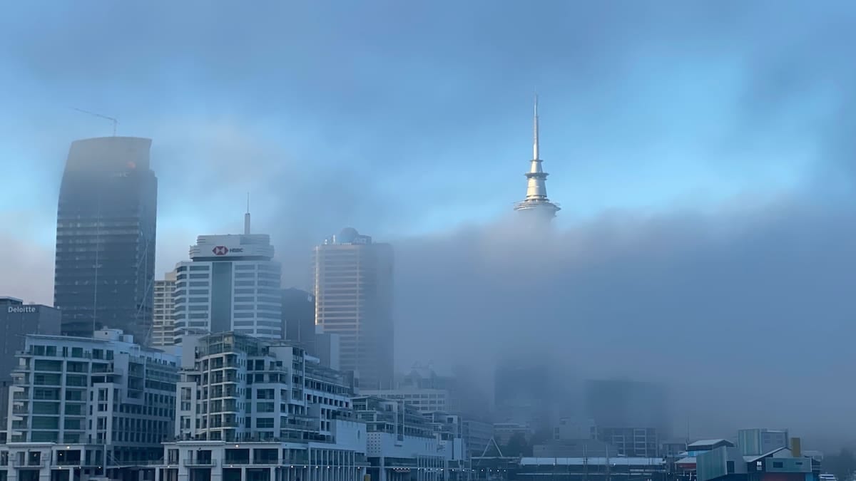
Yellow fog warning in force across large swath of England
According to publicly available Met Office information and national media reports, the yellow warning focuses on dense fog forming overnight and persisting into Saturday morning, particularly across parts of central and southern England. The warning highlights the likelihood of visibility dropping below 100 metres in places, significantly increasing the risk on busy commuter and holiday routes.
Coverage carried by outlets including AOL and other UK news sites indicates that 36 forecast zones are affected under the single fog warning, stretching across a broad band of England rather than a single localised patch. The alert follows a period of highly changeable weather that recently included strong winds and heavy rain linked to Storm Boelo, which brought widespread disruption to transport and power networks.
The latest warning is part of the Met Office National Severe Weather Warning Service, which is designed to flag the potential impacts of severe weather on daily life. For a yellow warning, guidance on official channels indicates that many people may be able to continue their plans, but some travel disruption is considered likely in the warning area.
Forecast maps published on the Met Office website show the warning valid through the busiest early hours of Saturday, a time when freight movements, airport operations and long-distance coach services are often at their peak.
Road users urged to expect slow journeys and local delays
Publicly available guidance linked to the warning suggests that drivers could face slower journey times on key motorways and A-roads where fog pockets form thickest. National coverage notes that the Met Office expects particularly difficult conditions on higher ground and rural stretches, where there is less street lighting and more rapid cooling overnight.
In past fog events covered by UK media, accidents and multi-vehicle collisions have been associated with drivers failing to reduce speed in rapidly forming dense mist. The current alert specifically flags an increased risk of minor collisions and a higher chance that some local roads may become temporarily blocked by incidents or recovery operations.
Motoring organisations typically recommend that drivers reduce speed, allow greater braking distance and use dipped headlights and fog lights where visibility is seriously reduced. Travel reports on previous yellow fog days have frequently highlighted challenges at busy motorway junctions, where sudden changes in visibility can catch out drivers moving between relatively clear sections and dense banks of fog.
With this warning following on the heels of recent storms and periods of heavy rain, surface water and residual spray could also combine with fog in some locations, further reducing visibility and making road markings harder to see.
Rail and air passengers face risk of early-morning disruption
The Met Office’s general guidance on yellow warnings notes that delays to rail and air travel are possible when visibility deteriorates. Rail operators may reduce speeds on certain routes in foggy conditions, particularly on lines where signals and lineside markers become harder to see, increasing journey times during the first wave of Saturday services.
Airport operations are especially sensitive to persistent dense fog. While major hubs are equipped with advanced landing systems, media reports on previous fog events show that low visibility can still lead to flight restrictions, diversions and knock-on delays throughout the day. Ground movements such as taxiing and stand operations can also be slowed for safety, compounding timetable pressure.
In its general advice on severe weather and travel, the Met Office encourages passengers to check with transport operators before setting out when a warning is in force. This is echoed across UK travel and aviation coverage, which routinely highlights that schedules may change at short notice when visibility drops below operational thresholds.
Regional airports and smaller airfields in the warning area may be particularly exposed, as they often have fewer alternative runways and more limited diversion options if conditions fail to improve as forecast.
Understanding Met Office warnings and why they matter to travellers
The Met Office, as the UK’s national weather service, operates a colour coded warning system for a range of weather hazards, including fog, strong winds, rain, snow, ice and extreme heat. Public guidance explains that yellow warnings signal a likelihood of some disruption to travel and day-to-day activities, with greater impacts and risks reflected by the higher amber and red levels.
Each weather warning is presented with both a likely impact level and a likelihood of those impacts occurring, using a matrix that can shift as new forecast data becomes available. The system is designed to help the public and transport operators balance the need to keep moving with the need to stay safe in changing conditions.
For travellers, the current fog alert underlines how even relatively routine weather hazards can have significant knock-on effects when they occur across a wide area at busy times. The warning covering 36 areas illustrates how a single hazard type, such as dense fog, can be geographically extensive even when winds and rainfall are otherwise modest.
Community resilience advice published by the Met Office on severe weather notes that transport disruption is one of the most common impacts across all warning types, from delays and cancellations to route closures and reduced services. The latest fog warning fits that pattern, with early-morning travel singled out as most at risk.
What travellers can do before and during the fog alert
Travel and weather guidance available from the Met Office and transport operators highlights several practical steps for people with journeys planned during the warning period. These include checking the latest forecast on the morning of travel, allowing extra time for journeys and being prepared to amend plans if conditions worsen or services are curtailed.
For those driving, national motoring guidance advises planning routes that avoid exposed rural stretches where possible, ensuring that lights and wipers are working correctly and clearing all windows and mirrors before setting off. Keeping a greater distance from the vehicle ahead and avoiding sudden braking or lane changes can reduce the risk of incidents in shifting visibility.
Rail and air passengers are advised in public information campaigns to monitor operator updates, sign up for alerts where available and be prepared for changes to departure times or platform allocations. Carrying essential items such as water, snacks and a phone charger can help mitigate the impact of unexpected waits or diversions.
With the fog warning expected to lift as daytime temperatures rise and visibility improves, the most serious impacts are likely to be concentrated into a relatively short time window. However, the breadth of the 36 affected areas means that many parts of England could see at least some degree of travel disruption before conditions gradually return to normal later in the day.