


More news on this day
Leeds is facing further disruption this weekend after the Met Office issued a fresh yellow weather warning that includes the city, with dense fog and recent storm damage expected to trigger delays on key road, rail and air routes.
Get the latest news straight to your inbox!
Latest Met Office alert and what it covers
The latest Met Office yellow weather warning was issued in the early hours of Saturday 31 October and is in force from 4am to 10am, with forecasters highlighting the risk of thick fog across parts of England and the potential for travel disruption in affected areas. Publicly available information indicates that up to 36 local authority areas fall under the alert, with Leeds among the locations expected to see reduced visibility on busy commuter and intercity corridors.
Yellow warnings are the lowest of the Met Office’s three alert levels but are still used when weather has the potential to cause disruption. Guidance from the National Severe Weather Warning Service explains that such alerts signal a possibility of travel delays, road and rail disruption, and localised power interruptions, even if many people are able to continue with their normal routines.
The current warning follows a stormy spell that has already brought named systems and strong Atlantic fronts to the UK during October, contributing to saturated ground and residual issues on parts of the transport network. Recent Met Office briefings have pointed to a pattern of heavy rain and high winds followed by calmer, cooler and, at times, foggier conditions, creating a different but still challenging set of hazards for travellers.
While the latest alert focuses on fog rather than wind or rain, the combination of lingering debris from earlier storms and sharply reduced visibility is expected to make driving and rail operations around Leeds more difficult through the morning peak.
Impact on road travel in and around Leeds
On the roads, the primary concern for Leeds and the wider West Yorkshire area is visibility. Under dense fog, sightlines on the M1, M62 and A1(M), as well as the city’s inner and outer ring roads, can drop sharply, increasing stopping distances and limiting the time drivers have to react to congestion, lane closures or stranded vehicles. National guidance associated with yellow warnings notes that slower journeys and localised delays are a realistic prospect when fog forms widely along major routes.
Reports from recent weather episodes in the region show that heavy rain and strong winds earlier in October led to surface water and fallen branches on some approaches to Leeds. Although conditions have eased, transport updates indicate that low-lying sections and underpasses can still be vulnerable when visibility is poor and drainage remains under pressure, making it harder for drivers to spot standing water in time.
Motoring advice shared alongside Met Office warnings encourages drivers to allow extra time, reduce speed where visibility is limited and use dipped headlights rather than full beam in fog. Public information campaigns from regional resilience forums and councils in Yorkshire also underline the importance of checking local travel bulletins before setting out, as restrictions on bridges or exposed routes can be introduced at short notice when conditions deteriorate.
For those relying on buses and coaches, operators often keep services running during yellow warnings but may experience slower running times, especially on cross-city routes that use higher ground or more exposed sections of the network. Passengers are being urged, via transport updates, to allow additional time to make connections or onward rail services.
Rail services and Leeds City Station disruption risk
Rail users in Leeds have experienced several days of challenging conditions in the past week, with earlier storms bringing fallen trees, speed restrictions and short-notice cancellations on some lines across northern England. Recent regional coverage recorded trees blocking routes into Leeds City Station and services being suspended or diverted on corridors linking the city with Bradford, Manchester and York as strong winds and heavy rain moved through.
National Rail service bulletins linked to the latest spell of unsettled weather highlight that special timetables and temporary speed limits may remain in place on selected routes where infrastructure has been affected or where inspections are still ongoing. When combined with reduced visibility during the fog warning period, these measures can increase journey times and limit capacity at peak periods into and out of Leeds.
Passengers planning to travel through Leeds City Station this weekend are being advised in publicly available guidance to check for live updates before departure and to be prepared for platform alterations and busy concourses if services bunch or are altered at short notice. Under yellow warning conditions, industry advice also notes the possibility of late-running engineering trains or inspection vehicles remaining on the network longer than scheduled, which can in turn affect passenger timetables.
Refund and ticket acceptance arrangements are typically activated when severe weather leads to cancellations, with National Rail information indicating that customers whose services are cancelled can often use tickets on earlier or later trains with participating operators. However, these arrangements vary between routes and companies, so travellers are encouraged to confirm the latest rules with their operator before changing plans.
Leeds Bradford Airport and wider regional travel
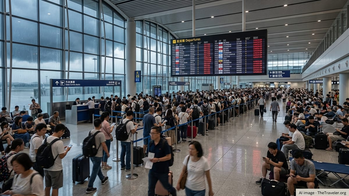
Leeds Bradford Airport has already faced weather-related disruption during October, with recent storms causing diversions and go-arounds for aircraft attempting to land in strong crosswinds and low cloud. Local media reports from earlier in the month described passengers facing delays as aircraft were held in stacks, redirected to other airports or forced to abort approaches during the worst of the conditions.
Compared with high winds, fog can be an equally disruptive but more subtle hazard for aviation. When visibility on the runway or approaches falls below set thresholds, airlines and air traffic control may need to increase spacing between landings and departures, switch to low-visibility procedures or temporarily suspend movements until conditions improve. This is particularly relevant for airports such as Leeds Bradford, where the elevated site and surrounding terrain can concentrate low cloud and mist.
According to publicly available travel advice, passengers flying from or into Leeds during a fog warning are urged to monitor airline updates closely on the morning of travel and to arrive in good time in case enhanced security or boarding procedures are in place. Where possible, travellers with flexible tickets may wish to explore earlier or later departures outside the core warning window of 4am to 10am to reduce the risk of disruption, although this depends on seat availability and airline rules.
Road access to the airport can also be affected when fog reduces visibility on the A658 and connecting local roads, adding further uncertainty for those driving or using pre-booked taxis and shuttle services. Extra journey time may be needed, particularly for early morning flights that coincide with the thickest fog.
How long the disruption could last and what travellers can do
Met Office guidance notes that fog-related yellow warnings are often relatively short-lived, as is the case with the current 4am to 10am window. However, dense fog can be slow to clear in sheltered valleys and on higher ground, and there is potential for visibility to fluctuate through the morning, especially where light winds and leftover moisture from previous rainfall linger around Leeds.
Forecast updates in recent days suggest that, beyond Saturday morning, conditions across northern England may become more settled, with brighter spells developing after any overnight mist or fog lifts. Even so, the transition from a stormy, wind-driven pattern to calmer, cooler air can mean a continued risk of overnight fog patches on subsequent days, keeping drivers and rail operators on alert during the early commute.
Travel and weather services continue to emphasise a few practical steps for anyone moving through Leeds while the warning is in effect. Checking both the Met Office forecast and real-time transport information before setting out, allowing extra time for connections, and having alternative routes or departure times in mind can all help reduce the impact of delays. For rail passengers, digital tickets and journey planner apps make it easier to switch trains when operators publish short-notice changes in response to weather conditions.
For now, the latest data indicates that Leeds is not facing the same level of disruption associated with recent named storms, but the combination of lingering infrastructure impacts and Saturday’s fog warning is expected to make travel more unpredictable than usual across the city and surrounding region.