


More news on this day
A five-hour Met Office weather warning for heavy rain is expected to bring possible flooding, difficult driving conditions and localised rail disruption across 28 areas of the UK, prompting fresh concern for travellers and commuters.
Get the latest news straight to your inbox!
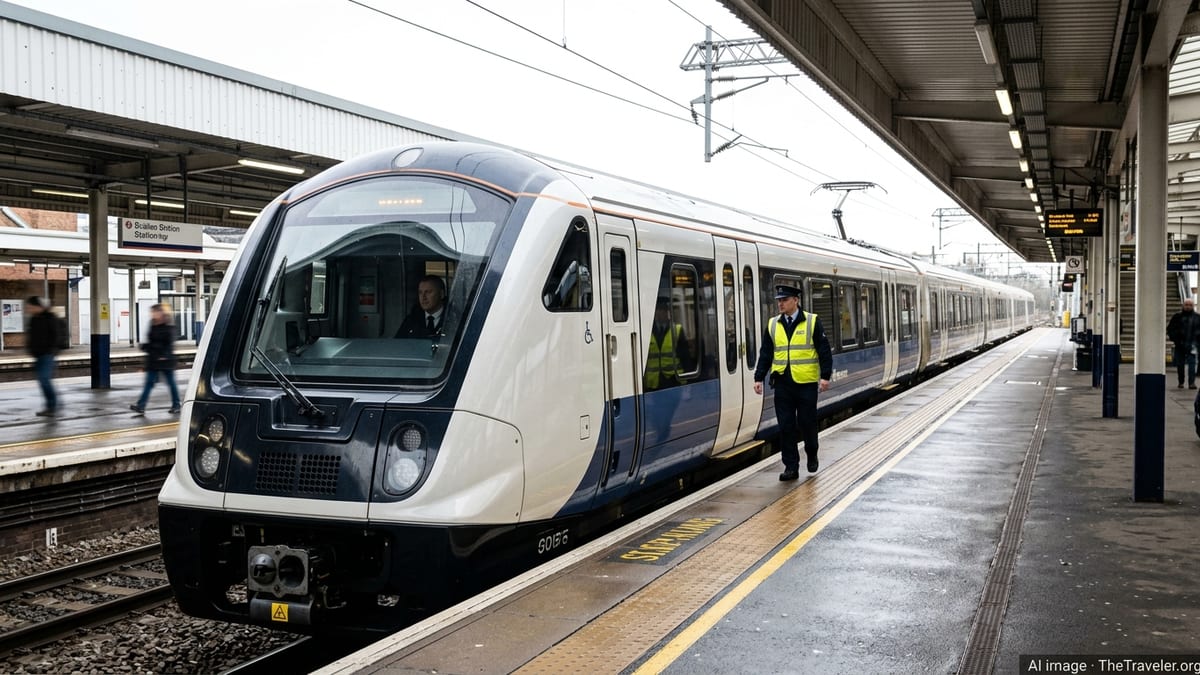
Short, intense burst of rain triggers new Met Office alert
According to the latest Met Office guidance, a yellow weather warning for rain has been issued for a tightly defined five-hour window, highlighting the risk of rapid downpours and surface water on key transport routes. Publicly available information shows that the warning has been framed specifically around “travel disruption,” with forecasters highlighting the potential for spray, standing water and reduced visibility on busy commuter corridors.
The alert covers a cluster of 28 local authority areas where heavy rain is expected to move through quickly but intensely, raising the prospect of localised flooding on roads and rail lines. The Met Office’s warning matrix indicates a lower likelihood of severe impacts, but with the potential for significant disruption in the areas directly under the heaviest rain.
The five-hour window reflects forecasts that the most active band of rain will sweep through during a single part of the day, rather than lingering over a wider period. Even so, the national forecaster notes that short-lived events can still lead to notable problems for those travelling, particularly around rush-hour periods when road and rail networks are already under strain.
The new alert comes on the heels of a series of recent warnings for wind and rain linked to successive autumn storms, which have already brought cancelled rail services, temporary road closures and delays at ports and airports across parts of England, Scotland, Wales and Northern Ireland.
Which 28 areas are covered by the 5-hour warning?
Travel-focused coverage of the latest alert indicates that 28 distinct forecast areas fall within the Met Office’s five-hour yellow rain warning. These areas are grouped by the forecaster’s regional system, which is used in all National Severe Weather Warning Service maps to show which local authorities may experience the worst conditions.
Within these regions, the warning highlights that heavy rain could lead to spray and surface water, making journey times longer for road traffic and potentially affecting bus and train services. In previous short-duration rain warnings, similar conditions have prompted speed restrictions on some rail lines, along with advice from transport operators for passengers to allow extra time and check for updates before setting out.
The Met Office’s accessible warnings guidance explains that every alert is tied to a list of affected council areas, allowing residents and businesses to understand whether the risk applies directly to them or to neighbouring locations. In practice, this means that some communities on the edge of the warning zone may experience little impact, while nearby towns within the highlighted area could see intense bursts of rain and more challenging travel conditions.
While the current five-hour warning is limited geographically, it sits alongside broader messages issued in recent weeks for dozens of other areas facing strong winds, thunderstorms and longer periods of heavy rain, reinforcing a generally unsettled pattern for late October travel across the UK.
What ‘yellow travel disruption’ means for road, rail and air passengers
Met Office guidance on yellow warnings states that this category is used when severe weather has the potential to cause low to moderate impacts, including some disruption to travel in a few places. For the latest rain alert, that translates into an increased chance of slower journey times, difficult driving conditions and short-notice changes to rail timetables where water affects the network.
On the roads, public information from UK transport and weather bodies typically advises drivers in yellow warning areas to reduce speed in heavy spray, leave more space between vehicles and allow extra time for journeys. Patches of surface water can also increase the risk of aquaplaning at higher speeds, particularly on motorways and dual carriageways that carry large volumes of traffic during peak hours.
For rail users, recent yellow rain and wind warnings have coincided with precautionary speed restrictions on exposed routes and flood-prone sections of line. Industry briefings indicate that such measures are used to reduce the risk of incidents involving standing water, debris or reduced visibility, but they can lead to delays and, in some cases, cancellations where alternative routes are not available.
Airports are less likely to see major disruption from a short spell of heavy rain alone, but previous episodes have shown that low cloud and poor visibility associated with active weather fronts can still trigger aircraft holding patterns or minor delays, particularly at the busiest hubs. Travellers are therefore being encouraged, in public-facing advice, to stay in close contact with their airline or travel provider if they are flying during the warning period.
How travellers can plan around the 5-hour disruption window
With the impacts expected to be concentrated into a relatively narrow time slot, the five-hour structure of the warning gives travellers an opportunity to adjust plans. Journey-planning advice from transport operators and local resilience guidance generally recommends avoiding non-essential travel during the peak of the heaviest rain when warnings highlight a risk of flooding and reduced visibility.
Motorists are encouraged in publicly available safety campaigns to check local forecasts on the morning of travel, inspect tyres and wiper blades, and allow for alternative routes in case of road closures or congestion caused by spray and standing water. Drivers in rural areas where roads regularly flood are also urged in this guidance not to attempt to drive through water where the depth is unclear, as even relatively shallow flooding can cause vehicles to stall or be swept off course.
Rail passengers are advised in operator updates to verify whether any weather-related speed restrictions or line closures are in place before leaving home. Many train companies now push alerts through mobile apps and text services when Met Office warnings are in effect, making it easier for travellers to rebook or switch to earlier or later services around the most intense period of rain.
For those using coaches or long-distance buses, recent disruptions linked to severe weather have underlined the importance of checking both road conditions and operator notices, particularly where routes cross exposed viaducts, river valleys or low-lying sections that can be affected quickly by surface water.
Met Office warning system and expectations for the days ahead
The five-hour alert forms part of the Met Office’s National Severe Weather Warning Service, which uses a colour-coded system to flag potential impacts from eight different weather types, including rain, wind, snow, ice and fog. Yellow warnings, such as the one affecting these 28 areas, sit below the more serious amber and red alerts but still signal that some disruption is possible and that people may need to review travel plans.
Official guidance on the warning system explains that forecasters assess both the likelihood that a weather event will occur and the potential impact on people, infrastructure and services. A relatively low-likelihood event with a potentially higher impact can still be flagged as yellow, reflecting the need for travellers and local authorities to stay aware of rapidly changing conditions.
Recent patterns, including multiple alerts for strong winds and heavy rain associated with named storms, suggest that further weather-related travel disruption remains possible as the autumn progresses. Week-ahead outlooks from the Met Office highlight a mix of unsettled and calmer days, with some periods of fog and low cloud likely to follow in the wake of wetter, windier spells.
Travellers planning rail, road or air journeys in the coming days are therefore being directed, in public information from weather and transport services, to monitor updated forecasts and warning maps, and to remain flexible where possible about departure times and routes. As with all Met Office warnings, the five-hour travel disruption alert for the 28 affected areas is subject to review and may be updated, extended or cancelled as new forecast data becomes available.