
More news on this day
Severe thunderstorms sweeping across the Midwest on June 17 and 18 are unleashing damaging winds, possible tornadoes and flash flooding, disrupting air travel at major hubs and stranding summer travelers across the country.
Get the latest news straight to your inbox!
Tornado Watches Stretch From Missouri to Indiana
Forecast discussions and outlooks from federal meteorologists point to an intense severe weather corridor extending from eastern Missouri through central Illinois into Indiana, with a particular focus on the evening and overnight hours of June 17 into June 18. Outlooks highlight an environment supportive of rotating supercell storms, capable of producing strong tornadoes, large hail and destructive wind gusts.
Regional media coverage and local weather briefings describe multiple tornado watches spread across the Midwest, including a broad swath of central Indiana under tornado watch into the early hours of Thursday. A sequence of radar indicated and confirmed tornadoes has already been reported this week in Illinois and Indiana, following a spring of repeated severe weather episodes across the region.
In the Chicago area, published reports indicate that at least 17 tornadoes have now been confirmed from storms that tore through parts of Illinois and northwest Indiana during a previous outbreak in mid June, damaging homes, toppling trees and leaving hundreds of thousands without power. That earlier damage has left many communities more vulnerable to new rounds of severe weather and additional outages.
Local outlets across Wisconsin and Ohio are also detailing numerous tornado warnings and reports of structural damage, snapped utility poles and downed trees after severe storms late Wednesday. While not every warning has resulted in a confirmed tornado, the overall pattern is described as a multi day severe weather sequence focusing repeatedly on the Midwest and Great Lakes.
Storms Hit Major Midwest Cities and Travel Corridors
The latest storm system is tracking directly across some of the busiest population centers and transportation corridors in the central United States. Forecast materials emphasize a risk zone that includes metropolitan areas such as Chicago, Indianapolis, St. Louis and smaller regional cities along the Mississippi and Ohio river valleys.
Heavy rain, frequent lightning and high wind gusts have been widely reported along the storm track. In northeastern Ohio, for example, overnight storms into Thursday morning have triggered several tornado warnings and cut power to thousands of customers, according to local television coverage. Similar accounts of downed lines and blocked roads are emerging from parts of Wisconsin and northern Illinois.
Agricultural communities are also feeling the effects. Recent reports from Wisconsin described a radar confirmed tornado in Crawford County that destroyed agricultural buildings and snapped utility poles near Boscobel, adding fresh losses in a season already challenged by repeated rounds of heavy rain and hail. In low lying areas, saturated soil is increasing the risk of flash flooding, particularly where storms repeatedly track over the same locations.
Transport routes that knit the region together are being affected as well. Interstate corridors running through Illinois, Indiana and Ohio have seen periods of torrential rain, poor visibility and localized flooding, slowing road traffic and complicating overland travel plans for residents and visitors alike.
Flight Delays Mount at Chicago O’Hare and Beyond
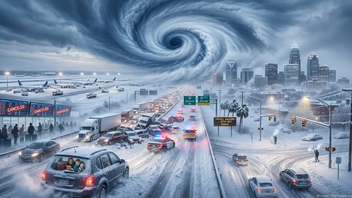
The same storm complexes threatening tornadoes are also disrupting air traffic, especially at Chicago O’Hare International Airport, one of the nation’s busiest hubs. According to recent coverage from Chicago based outlets, a ground stop for flights bound for O’Hare was issued on June 16 due to thunderstorms in the area. Average departure delays had climbed to more than an hour by early evening, and additional holding patterns were reported for arriving flights.
Thunderstorms have continued to flare around the region since that initial ground stop, creating an unstable operating environment for airlines. Even when storms are not directly over an airport, thunderstorm clusters along approach and departure paths can force rerouting and extended spacing between aircraft, cutting capacity at already crowded hubs.
Travel advisories circulating among frequent flyer and aviation communities indicate that at least one major carrier has issued a Midwest severe weather travel waiver covering flights between June 16 and June 20. Such waivers typically allow passengers booked to, from or through affected cities to change itineraries without standard change fees, reflecting expectations of ongoing disruption rather than a single isolated event.
The impacts are radiating across the national network. Because Chicago functions as a key connection point for flights between coasts and between the United States and overseas destinations, delays and cancellations there ripple quickly through other airports. Travelers departing from or heading to cities with clear skies are nevertheless encountering missed connections and rolling delays tied directly to weather in the Midwest.
What Travelers Can Expect in the Coming Days
Short term outlooks from national forecast centers and regional offices suggest that the threat of severe weather will not end immediately once the current line of storms pushes east. Forecasts highlight continued chances for strong thunderstorms across parts of the Midwest and Great Lakes as additional disturbances move along a hot, moisture rich air mass entrenched over much of the central and eastern United States.
For air travelers, that means the potential for renewed rounds of delays whenever strong thunderstorms develop near major hubs like Chicago, Detroit, Minneapolis or St. Louis. Afternoon and evening flights are especially vulnerable, as peak heating tends to coincide with the most active storm period. Aviation analysts routinely note that summer schedules leave little slack in the system, so even moderate disruptions can cascade through the network.
Passengers planning trips through the region over the next several days are being urged, through airline statements and travel industry coverage, to monitor their flight status closely, enable mobile alerts and consider booking longer connection times. Those with flexible itineraries may opt to adjust travel to morning departures, when storm chances are sometimes lower and schedules have not yet absorbed the delays of the day.
On the ground, residents and visitors across the Midwest are being reminded in public safety messaging and local news segments to remain alert to changing conditions, keep multiple ways of receiving warnings and identify a safe interior room or shelter in case tornado or severe thunderstorm warnings are issued. With soils already saturated and infrastructure strained by earlier storms, even non tornadic thunderstorms can produce hazardous flooding and power disruptions.
Summer Tourism Faces Weather Related Hurdles
The timing of this severe weather sequence is particularly challenging for the region’s tourism sector, arriving just as summer travel ramps up around the June holidays. Popular urban destinations such as Chicago, Milwaukee and Indianapolis, along with lakefront and outdoor recreation areas around the Great Lakes, are all experiencing unsettled conditions that can deter last minute trips and outdoor events.
Event organizers, attractions and hospitality businesses are making rapid adjustments as lightning, high wind and heavy rain force schedule changes. Outdoor concerts, festivals and ballgames have already faced delays or weather related interruptions this week in parts of the Midwest, according to local entertainment and sports coverage.
Despite the disruptions, tourism analysts generally expect demand to remain strong through the season, with travelers shifting plans rather than canceling outright. Some visitors are rebooking for later in the summer, while others are rearranging itineraries within the region to focus on indoor attractions or areas projected to have lower storm risks on specific days.
For now, the combination of tornado threats, damaging winds and widespread flight delays underscores how quickly summer travel across the Midwest can be upended by severe weather. As the pattern evolves over the coming days, both residents and visitors will be watching forecasts closely, hoping for a return to calmer skies along one of the country’s most important travel corridors.