


More news on this day
Rail operator Northern has issued a rare “do not travel” warning for passengers across North West England as Storm Boelo brings severe winds, infrastructure damage and widespread disruption to key routes.
Get the latest news straight to your inbox!
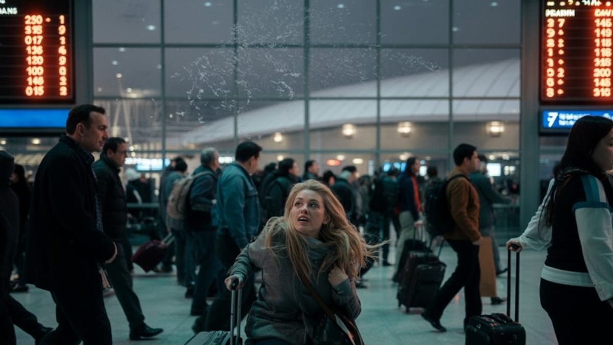
Severe storm triggers blanket warning across the North West
Publicly available information from the operator shows that Northern moved to a “do not travel” message for much of its North West network on Sunday 25 October, as Storm Boelo swept across northern England with gusts widely above 60 mph and higher speeds recorded in exposed coastal and upland areas.
The warning covers journeys across a broad area including key interurban corridors between Manchester, Liverpool, Preston, Carlisle and along the Cumbrian Coast, where conditions have been described as hazardous due to high winds, debris on the tracks and problems with overhead power lines.
According to travel updates collated by regional media, the decision followed a series of weather related incidents affecting tracks, signalling equipment and power supplies, with operators indicating that the scale of disruption meant services could not be guaranteed and that passengers risked becoming stranded if they attempted to travel.
While some lines remain technically open with reduced timetables and significant delays, Northern’s public advice has been for customers in the affected North West area to postpone journeys where possible and to seek refunds or travel on alternative days once conditions stabilise.
Key rail routes closed or heavily disrupted
On the Cumbrian Coast Line, which runs between Carlisle and Barrow in Furness via Whitehaven, Northern closed the section between Carlisle and Whitehaven from around 18:30 on Saturday 24 October as Storm Boelo coincided with high tides and strong onshore winds. Information released by local news outlets indicates that the closure remained in place into Sunday, with no replacement road transport available along some exposed stretches due to safety concerns.
Further inland, issues have been reported on the West Coast Main Line and connecting commuter routes. Network Rail’s regional reports highlight fallen trees, damaged overhead lines and flooding at various locations across the North West route, with engineers logging hundreds of individual faults over the weekend and working to remove more than 70 trees from the tracks.
Intercity services have also been affected. Avanti West Coast has publicly advised passengers not to travel north of Preston or Penrith while conditions remain severe, and TransPennine Express has warned against all but essential journeys on a number of cross country routes linking Manchester, the North West coast and Yorkshire.
The combined effect is that rail capacity across the region is sharply reduced, journey times are unpredictable and connections cannot be relied upon. Travellers arriving by air into airports such as Manchester or Liverpool have reported finding that connecting Northern rail services are cancelled in blocks, rather than operating on a limited timetable.
Met Office warnings and wider impact of Storm Boelo
Storm Boelo is the second named storm to affect the United Kingdom in the same weekend, following Storm Austen, and is part of the 2026 to 2027 European windstorm season. The Met Office issued an amber wind warning for parts of Scotland, northern England and Northern Ireland from Saturday evening into Sunday night, within a broader yellow warning area extending into North Wales and the Midlands.
Published information from national forecasters points to widespread gusts of 60 to 70 mph across exposed northern and western areas, with peaks around 80 to 85 mph in some coastal and high ground locations. The warnings highlight a risk of large waves, flying debris, falling trees and structural damage, as well as a likelihood of power cuts and interruptions to mobile and broadband services.
Across the North West, local coverage from Cumbria and Lancashire describes homes without power, blocked roads and fallen trees affecting both minor lanes and major A roads. Emergency and utility crews have been deployed to restore electricity supplies and clear obstructions, but reports indicate that strong crosswinds and continuing heavy showers are slowing progress.
Flood alerts are also in force along parts of the North Wales and North West England coasts, where high tides combined with onshore gales have led to spray across sea walls and temporary closure of some coastal roads. Residents and visitors are being urged through official channels to avoid promenades and exposed harbour areas while the storm passes.
Advice for rail passengers and refund options
Northern’s customer information channels state that passengers who have already purchased tickets for journeys affected by Storm Boelo can claim a full refund or travel on alternative days once services resume, without additional charges. Details vary by ticket type, and passengers are being directed to check the latest terms on the operator’s official pages or via their retailer.
For those who still need to travel, publicly available journey planners show that some services continue to run on parts of the network under temporary speed restrictions, but travellers are being advised to allow significantly more time, expect last minute cancellations and be prepared for trains to be very busy where multiple services have been combined.
Other train companies in the region have introduced ticket acceptance arrangements, allowing some Northern tickets to be used on alternative operators’ services along key corridors when space permits. However, these options remain limited by the broader impact of the storm on the rail network, and not all routes have viable alternatives.
Passengers are being encouraged through rail industry updates to check journeys immediately before departure using official rail information sources, rather than relying on timetables printed or downloaded before the storm period, as schedules are changing frequently in response to live conditions on the ground.
What travellers should consider in the coming days
Forecasts indicate that while the most intense phase of Storm Boelo is expected to ease after Sunday night, the legacy of the storm is likely to affect travel into Monday 26 October and potentially beyond, as teams work to complete safety inspections and repairs. Infrastructure managers typically need to check for damage to tracks, overhead lines, signals and level crossings before restoring full line speeds.
Tourists planning rail based itineraries in the Lake District, along the Cumbrian coast or between northern cities such as Manchester, Liverpool and Carlisle are therefore being advised by regional travel coverage to stay flexible, avoid tight connections and consider whether journeys can be deferred by 24 to 48 hours.
Where travel cannot be postponed, practical steps include carrying water and warm clothing in case of extended delays, ensuring mobile devices are fully charged before departure and having alternative routes planned in case of last minute diversions. Travellers using early morning or late evening services may wish to build in extra contingency, as this is when residual checks and remedial work can lead to short notice alterations.
While Storm Boelo has caused significant disruption across the North West rail network, operators and infrastructure teams are signalling through public updates that they aim to restore more normal patterns of service as soon as conditions and safety checks allow. Passengers are likely to face at least a short period of ongoing disruption, but the situation should gradually improve once winds ease and repairs are completed.