


More news on this day
Rail operator Northern has issued a rare “do not travel” alert as Storm Boelo batters northern England, Scotland, Northern Ireland and the Republic of Ireland, disrupting weekend journeys across the region with severe winds, flooding and power cuts.
Get the latest news straight to your inbox!
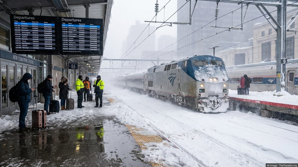
Storm Boelo brings severe winds and widespread disruption
Publicly available information shows that Storm Boelo, the second named storm to hit the United Kingdom in as many weekends, has driven gusts well above 70 miles per hour across exposed parts of northern Britain and Ireland, prompting multiple amber wind warnings and extensive travel disruption. Meteorological agencies report that the storm moved in from the Atlantic over the weekend, concentrating its strongest impacts on Scotland, Northern Ireland and northern England with heavy rain, coastal swells and falling debris.
Coverage from national and regional outlets indicates that the storm has left tens of thousands of properties without electricity, with particularly high outage figures reported in Scotland, Northern Ireland and parts of the Republic of Ireland. Energy networks have been working to restore supplies, but many communities have experienced prolonged interruptions while conditions remain unsafe for repairs in exposed locations.
Transport impacts have been significant. Reports from aviation and ferry operators describe cancellations and delays on routes across the Irish Sea, including affected services at Dublin Airport and on major ferry links between Ireland and Great Britain. Road networks have also been hit by fallen trees, flooding and overturned vehicles, with bridge closures and reduced speeds introduced on several key cross‑border routes.
Forecast commentaries from national weather services emphasise that Boelo has arrived on the heels of an earlier storm system, leaving soils saturated and infrastructure more vulnerable. This combination of high winds and pre‑existing ground conditions has increased the risk of trees toppling, surface water flooding and localised landslips in upland and coastal corridors popular with tourists and long‑distance travellers.
Northern’s ‘do not travel’ alert and suspended rail routes
Against this backdrop, Northern, which operates rail services across large parts of northern England, has issued a prominent “do not travel” alert for several of its routes as engineers and control teams respond to the effects of Storm Boelo. According to the operator’s publicly available disruption pages, some lines are currently closed due to flooding, debris on the tracks and damage to overhead wires, while others are running heavily reduced or with no replacement road transport.
Network Rail’s recent storm update for the North West highlights that engineers are dealing with widespread 50 to 60 mile per hour gusts, which have damaged infrastructure and made routine inspections more hazardous. The rail infrastructure manager has reported line blockages from fallen trees, damage to power lines and the need for precautionary speed restrictions where high winds intersect with older structures and sea walls. In several cases, trains have been suspended in advance of the strongest winds to reduce the risk to passengers and staff.
For travellers, the “do not travel” message means that holding an advance ticket is not a guarantee of being able to complete a journey on the intended day. Northern’s guidance advises customers to check live journey planners shortly before departure and notes that many tickets are being accepted on alternative dates at no extra cost once services resume. Some operators are also accepting one another’s tickets on a limited basis where routes remain open, though capacity can be constrained.
Timetables for other rail companies in the affected region, including intercity and cross‑border services, have also been revised. Public information from train operators shows a mixture of cancellations, shorter trains and altered stopping patterns as control rooms attempt to match available rolling stock and staff with corridors that remain safe to operate. Passengers planning complex itineraries through hubs such as Manchester, Leeds, Carlisle or Newcastle face a heightened risk of missed connections and extended journey times while the storm passes.
Impact on road, air and ferry travel across the northern arc
Storm Boelo’s footprint extends beyond the rail network, affecting virtually every mode of transport that travellers use to reach and move within northern destinations. Local traffic bulletins from Northern Ireland, Scotland and the Republic of Ireland list a series of road closures and hazardous conditions, particularly on higher routes, coastal roads and exposed bridges. In Derry, for example, publicly accessible traffic reports have noted the closure of the Foyle Bridge in both directions during peak gusts.
In the Republic of Ireland, several county councils have issued advisories urging residents and visitors to avoid all non‑essential travel while the storm passes. One such update in County Donegal, coinciding with an orange wind warning for the area, advises people to stay away from coastal promenades and to expect debris and fallen trees on rural roads. Met Éireann’s commentary on Storm Boelo underlines the risk of sudden squalls and crosswinds, warning that driving conditions can deteriorate rapidly as showers pass through.
Air travel has also come under pressure. Major airports serving the region, including Dublin and Belfast, have reported cancellations and delays as airlines adjust schedules to avoid operating in the most severe conditions. Travellers connecting from transatlantic services into regional flights, or using UK domestic links as part of a longer itinerary, have faced last‑minute changes that may require overnight stops or complete rerouting via less affected hubs further south.
On the Irish Sea, ferry operators have cancelled or curtailed sailings where wave heights and wind direction present a risk to safe berthing. Public timetables show that services on some of the busiest links between Dublin, Holyhead, Cairnryan and Belfast have been suspended for parts of the weekend, leaving limited alternatives for travellers who rely on car or foot passenger crossings. Those driving long‑distance routes that combine ferries and onward road travel are being advised through operator channels to remain flexible and to anticipate extended waiting periods once sailings resume.
Guidance for travellers caught in the path of Storm Boelo
For visitors and residents who must travel despite the warnings, official guidance from national meteorological services and local councils converges on a few core safety points. Public information stresses the importance of checking multiple sources for updates before setting out, including national weather warnings, dedicated rail and road disruption pages, and live information from airports and ferry operators. Travellers are encouraged to assume that conditions can change quickly, especially in coastal and upland areas where gusts can be significantly stronger than in nearby urban centres.
In road travel, local emergency planning documents for Northern Ireland advise motorists to assess whether a journey is essential, particularly where amber wind warnings are in force. Recommendations include reducing speed, increasing following distances, and avoiding high‑sided vehicles or roof‑mounted cargo where possible. Drivers are urged not to attempt to pass through floodwater and to treat “road closed” signs as indicating a genuine hazard, not a minor inconvenience.
For rail passengers, the most practical step is often to postpone journeys until operators confirm that inspections are complete and lines are safe. Where travel cannot be deferred, passengers are advised through operator channels to allow additional time for connections, carry essentials such as water and warm clothing, and be prepared for on‑the‑day platform changes. Many rail companies provide real‑time push notifications or email alerts for specific services, which can help international visitors unfamiliar with local media to stay informed.
Those flying into or out of affected airports are being reminded via public travel advisories to confirm the status of both their flight and any onward ground transport. With some bus and rail links disrupted and taxi demand high during severe weather, onward travel from the airport can be more challenging than usual even when the flight itself operates more or less on time. Adjusting expectations, holding flexible bookings where possible and staying in close touch with accommodation providers can reduce the stress of last‑minute itinerary changes.
What Storm Boelo means for upcoming trips to the region
For travellers with plans in the coming days, the key question is how long the disruption triggered by Storm Boelo is likely to last. Meteorological outlooks indicate that while the storm’s peak winds are expected to ease as the system tracks eastwards, further areas of low pressure are forecast to move across the northern Atlantic, bringing additional spells of wet and windy weather. This pattern means that while immediate storm impacts may fade, the risk of renewed localised flooding, landslips and infrastructure strain could persist.
Rail and road agencies generally undertake safety inspections once winds drop below agreed thresholds, checking embankments, overhead lines and structures before restoring full services. In recent storms, this process has taken anything from several hours to more than a day on the most badly affected routes. Publicly available updates from infrastructure managers suggest that priorities are likely to focus first on core intercity and commuter corridors, with more remote branches reopening later.
For those considering whether to cancel or proceed with trips to northern England, Scotland, Northern Ireland or the Republic of Ireland, travel and tourism bodies are broadly advising flexibility rather than outright abandonment of plans. Many attractions and hospitality providers remain open, particularly in urban areas, but may adjust opening hours or close outdoor spaces during the worst conditions. Checking directly with accommodation, tour operators and event venues can clarify what is realistically available during and immediately after the storm period.
Looking ahead, Storm Boelo serves as a reminder that autumn and winter travel across the northern Atlantic fringe often involves exposure to rapidly changing weather. Travel planners emphasise that building additional time into itineraries, favouring flexible tickets and keeping contingency plans for alternative routes or overnight stays can help visitors enjoy the region’s landscapes and cities while staying within the bounds of evolving safety advice.