


More news on this day
Police travel guidance has been issued across Scotland after the Met Office upgraded weather alerts to an amber warning for wind, with Storm Boelo forecast to bring gusts strong enough to disrupt road, rail and ferry services from Saturday night into Sunday.
Get the latest news straight to your inbox!
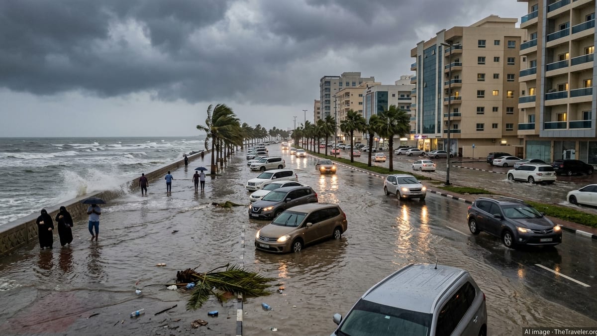
Amber wind warning as Storm Boelo approaches
According to the Met Office, Storm Boelo is expected to move in from the Atlantic late on Saturday 24 October 2026, bringing a very windy and wet spell across much of northern Britain. An amber warning for wind, covering all mainland Scotland along with parts of Northern Ireland and northern England, is in force from 9pm on Saturday until 9pm on Sunday 25 October.
Met Office guidance indicates that amber wind warnings reflect an increased likelihood of impacts from severe weather, including a risk to life from flying debris, road and bridge closures, damage to buildings and trees, and disruption to power and communications. Forecasts for Storm Boelo point to the potential for gusts widely in excess of 60 mph inland, and higher along exposed coasts and high routes, particularly in western and northern areas.
The amber alert for Storm Boelo follows closely behind Storm Austen, which has already brought strong winds and heavy rain to parts of England and Wales. Publicly available outlooks suggest that, while Austen moves away into mainland Europe, Boelo will deepen and track further north, focusing the most disruptive conditions on Scotland and parts of the Irish Sea.
National severe weather guidance stresses that those in amber warning areas should consider changing their plans and take steps in advance to protect themselves and their property, particularly where travel or time outdoors is involved.
Police travel advice and high-risk areas
Police Scotland and national traffic agencies have issued travel advice aligned with the period of the amber warning. Travel information published through Traffic Scotland’s Police Travel Advice for Storm Boelo notes a high risk of disruption to the road network between 9pm on 24 October and 9pm on 25 October, and highlights that conditions may be hazardous for drivers during the warning window.
The advice, which applies nationwide, identifies several regions where impacts are considered most likely, including Central, Tayside and Fife, Grampian, the Highlands and Eilean Siar, Orkney and Shetland, Strathclyde and south west Scotland including the Lothians and Borders. These areas encompass key trunk routes and many exposed coastal and upland roads that are vulnerable to side winds, fallen trees and surface debris.
Traffic Scotland’s amber wind warning summary states that road users should anticipate restrictions on bridges and elevated sections of the network, as well as potential short-notice closures of particularly exposed roads if conditions worsen. Police travel advice encourages people to avoid non-essential journeys during the strongest winds and to check live travel information if travel cannot be postponed.
Local councils, including authorities in Aberdeenshire, Moray, Midlothian and the Scottish Borders, have reinforced these messages in their own severe weather updates. Public messaging across these areas stresses that travellers should expect difficult driving conditions, especially for high-sided vehicles, caravans and motorcycles.
Impacts on road, rail, ferry and air travel
Transport operators across Scotland are preparing for widespread disruption during Storm Boelo. Travel bulletins collated by Scottish media report that rail companies are planning speed restrictions on some routes, with the potential for line closures in exposed areas if wind speeds exceed safety thresholds or if debris is reported on the tracks.
Coverage from broadcasters in Scotland indicates that cross-border and intercity rail services, including routes over the Forth and Tay bridges, may be particularly vulnerable to disruption, with the risk of cancellations or diversions if gusts reach higher forecast values. Passengers are being encouraged through public statements and online channels to check for service updates before setting out and to be prepared for longer journey times.
Ferry operators on the west coast, in the Northern Isles and across the Irish Sea are also expected to feel the effects of Storm Boelo. Recent travel alerts suggest that some sailings may be brought forward, delayed or cancelled as the low pressure system moves through, especially on routes serving the Hebrides, Orkney and Shetland, where seas are forecast to become very rough.
While major Scottish airports are designed to operate in strong wind conditions, previous amber wind events have led to occasional delays and diversions. Aviation updates ahead of Storm Boelo indicate that ground operations could be slowed by safety checks and that certain regional flights may face disruption if crosswind limits are approached on shorter runways.
What travellers should do now
With the amber warning in place from Saturday evening, travellers with plans in Scotland, Northern Ireland or northern England over the weekend are being urged through official channels to monitor local forecasts closely and to review their itineraries. For those considering long-distance journeys into or across the warning area, national guidance for amber alerts recommends thinking carefully about whether trips can be rescheduled.
Driving safety advice from Scottish road authorities emphasises simple precautions for those who decide that travel is essential. These include reducing speed, allowing extra stopping distance, keeping both hands on the wheel in exposed locations, and taking particular care when overtaking or being overtaken by high-sided vehicles. In strong winds, travellers are advised to avoid routes known for exposure on high ground or coastal stretches where possible.
Road users are also encouraged to check their vehicles before setting off, ensuring tyres are in good condition, windscreens and lights are clear, and fuel levels are sufficient in case of delays or diversions. In previous amber wind events, congestion has developed quickly after incidents involving fallen trees, overturned vehicles or objects blown onto the carriageway.
For those using rail, ferry or air services, publicly available guidance from operators consistently highlights the importance of checking for latest service updates on the day of travel and carrying basic essentials, such as water, snacks and phone chargers, in case of extended waits. Travellers with connecting services are being advised that onward journeys may also be affected if early-morning or late-evening departures are curtailed.
Local preparations and information sources
Local authorities across Scotland have activated their severe weather arrangements ahead of Storm Boelo. Updates from councils in areas covered by the amber warning describe teams inspecting drainage, checking coastal defences, and reviewing plans for dealing with blocked roads and potential power interruptions over the weekend.
Council statements, including those from Moray, Aberdeenshire and the Scottish Borders, point residents and visitors to their official news pages and social media feeds for information about localised impacts such as school and facility closures, support services and road clearing operations. Many are also directing the public to national weather and travel portals where warning maps and live traffic conditions are updated through the event.
Community resilience guidance produced in partnership with the Met Office and national agencies stresses that people in amber warning areas should secure outdoor items that could become projectiles in high winds, check on neighbours who might need assistance and make sure they have basic supplies in case of short-term disruption. While Storm Boelo is not currently associated with a red warning, forecasters note that conditions can vary significantly over relatively short distances, and local effects may be severe where gusts align with high tides or saturated ground.
Travellers planning to visit or move through the affected parts of Scotland and the wider northern UK over the weekend of 24 to 25 October are therefore being encouraged to keep plans flexible, use official channels for updates and prioritise safety if conditions deteriorate as Storm Boelo passes.