


More news on this day
Travellers heading to and from Glasgow over the weekend are being warned to expect severe disruption as Storm Austen and the incoming Storm Boelo combine to bring high winds, heavy rain, and widespread transport delays across Scotland.
Get the latest news straight to your inbox!
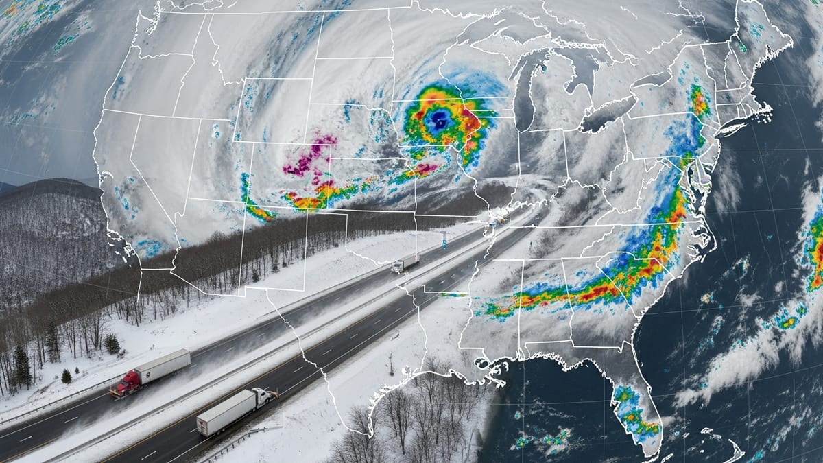
Amber warnings as back-to-back storms target Scotland
According to published information from the Met Office, Storm Austen is moving away from the UK while Storm Boelo is set to intensify over the weekend, with an amber wind warning in place for much of mainland Scotland on Saturday 24 and Sunday 25 October. The warning area includes Greater Glasgow, where forecasters highlight a risk of flying debris, power cuts, and transport disruption as gusts approach 70 to 80 miles per hour in exposed locations.
Coverage of the evolving weather pattern indicates that Storm Austen has already saturated ground across western and central Scotland, increasing the likelihood of surface water flooding as Storm Boelo’s heavier bands of rain arrive. Public forecasts describe the two systems as a “double impact” event that could prolong disruption across multiple days rather than a single 24-hour period.
Travel advice published by Traffic Scotland and rail operators stresses that conditions are likely to deteriorate quickly, particularly on exposed routes and higher ground to the north of Glasgow. Travellers are being urged to plan for slower journeys, check timetables before leaving home, and be ready to re-route if key corridors are closed at short notice.
Glasgow Airport delays and cancellations as winds strengthen
Publicly available flight information shows that Glasgow Airport has already begun experiencing delays as strong crosswinds associated with Storm Austen pass through the Central Belt. Airlines have been spacing arrivals and departures more widely to maintain safety margins, contributing to knock-on congestion in airport terminals.
Advisory notices shared by airlines and summarized in local coverage suggest that Storm Boelo may cause further disruption to flights on Saturday and Sunday, particularly during forecast gust peaks. Some carriers have announced flexible rebooking options for passengers due to travel over the storm window, allowing itinerary changes without additional fees where space permits.
Glasgow Airport’s own updates point out that while the runway remains open, strong winds and low cloud can force last-minute diversions to other Scottish airports or to northern England, even when flights appear to be operating on schedule. Travellers are being encouraged to use airline apps and text alerts rather than relying solely on printed boarding passes or early-morning departure boards.
M74 flooding and dangerous driving conditions south of Glasgow
Reports from Traffic Scotland describe difficult driving conditions on the M74 corridor as bands of heavy rain move north across the border from England. Standing water and spray are already affecting visibility on sections of the motorway south of Hamilton, with reduced speeds and tailbacks reported around known drainage pinch points.
The M74, which links Glasgow with Carlisle and the wider English motorway network, is a critical freight and passenger route. When flooding occurs on key junctions and underpasses, diversion routes through Lanarkshire towns such as Larkhall and Lesmahagow can become quickly congested, extending journey times by an hour or more.
Road authorities have warned in public statements that further intense downpours associated with Storm Boelo could trigger short-notice lane closures or full closures where flood levels threaten vehicle safety. Drivers are being advised to avoid non-essential journeys during the worst of the weather, to keep fuel tanks well above reserve levels, and to carry warm clothing and water in case of extended delays.
Major rail line closures across Scotland’s central and northern routes
Network Rail and ScotRail have published advance notice of widespread rail disruption linked to Storm Boelo, with several lines across western and northern Scotland scheduled to close as a precaution. According to recent summaries in Scottish media, seven routes are due to be fully suspended during the amber warning period, primarily in areas most exposed to severe winds and potential landslides.
Travel advice issued by rail operators indicates that services north of Glasgow toward Oban, Fort William, and Mallaig will be especially vulnerable to disruption because of their exposure to steep cuttings, embankments, and coastal sections. In central Scotland, reduced timetables and speed restrictions are expected on parts of the network serving Glasgow Central and Glasgow Queen Street, including services toward Ayrshire, Inverclyde, and the Stirling corridor.
National Rail’s disruption pages for the weekend highlight that replacement buses may not be available on some routes, particularly between Edinburgh and Aberdeen and on remote Highland branches, due to high winds and road closures. Passengers with advance tickets are being offered the option to travel earlier, travel on alternative days, or obtain fee-free refunds in cases where trains are cancelled or heavily delayed.
Advice for travellers navigating Glasgow and wider Scotland
Transport operators across modes are urging anyone with imminent travel plans to build additional flexibility into their itineraries. For flights, published guidance recommends arriving earlier than usual at Glasgow Airport, traveling with cabin baggage where feasible, and being prepared for last-minute gate or schedule changes as Storm Boelo peaks.
For rail journeys, journey planners and operator apps are expected to carry the most up-to-date information on cancellations and reinstated services. Travellers heading between Glasgow and destinations such as Edinburgh, Inverness, and Aberdeen over the weekend are being advised to check both on the day of travel and again immediately before setting out, as lines may reopen or close at short notice once engineers have inspected tracks and overhead wires.
On the roads, Traffic Scotland’s public advice emphasizes avoiding flooded sections, not attempting to drive through standing water where depth is unclear, and considering alternative routes that avoid exposed bridges and high ground south and north of the city. Motorists who must travel are encouraged to slow down, increase stopping distances, and factor in significantly longer journey times on the M74 and surrounding trunk routes.
With Storm Austen already disrupting ground conditions and Storm Boelo forecast to intensify through Sunday, those visiting or departing Glasgow over the coming days face a challenging travel environment. Up-to-date checks, flexible plans, and a willingness to delay non-essential trips are being presented as the most reliable ways to stay safe and avoid becoming stranded as the storms move across Scotland.