


More news on this day
Travellers across Scotland are being urged to prepare for significant disruption as Storm Austen brings heavy rain and strong winds on Friday, before a more powerful Storm Boelo sweeps in over the weekend with amber wind warnings and widespread transport impacts forecast.
Get the latest news straight to your inbox!
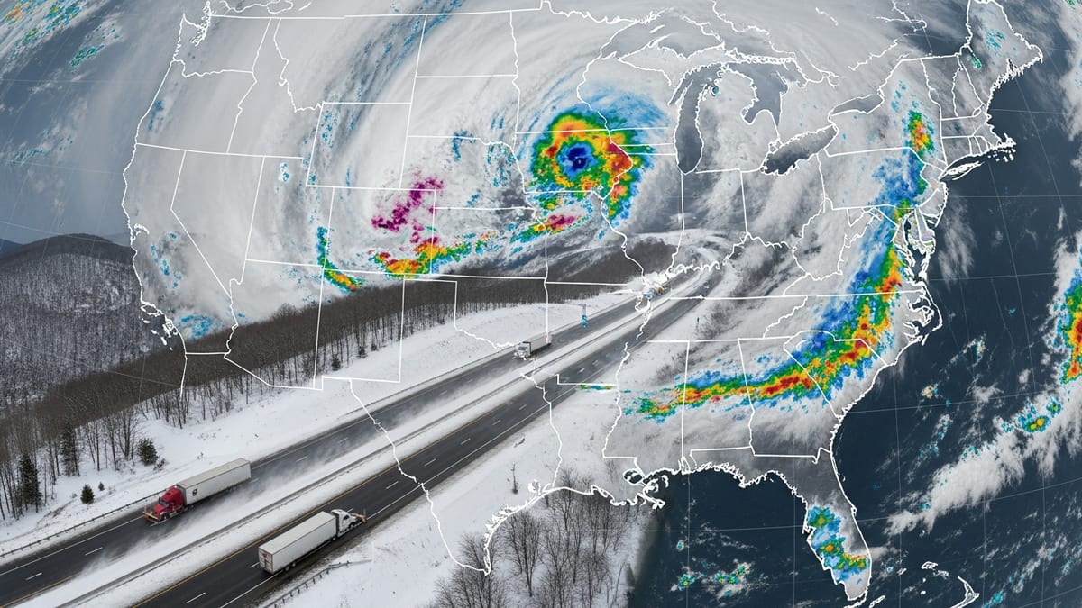
Back-to-back storms bring severe weather alerts
According to Met Office guidance, Storm Austen is the first system affecting the UK, with bands of heavy rain and gale-force gusts tracking north and east through Friday 23 October. Yellow weather warnings for rain and wind cover large parts of Scotland, with eastern and central areas highlighted for the heaviest downpours and localised surface water flooding.
Forecasts indicate a short-lived lull in conditions on Friday night into early Saturday before Storm Boelo moves in from the Atlantic. Publicly available Met Office information shows that Boelo has triggered an amber wind warning covering most of mainland Scotland from Saturday evening into Sunday, alongside broader yellow alerts for wind and rain across northern UK.
Gusts of 60 to 70 mph are expected widely in exposed areas, with the Met Office stating that coastal and high ground locations in western and northern Scotland could see gusts approaching 80 mph. Officials have highlighted the risk of flying debris, damage to infrastructure, power cuts and hazardous travel conditions across road, rail, sea and air networks.
Meteorologists note that the sequencing of storms is a key concern. Rainfall from Austen on Friday is likely to saturate ground and elevate river levels, making the impacts from Boelo’s stronger winds and further heavy showers more serious, particularly for hillside routes, urban drainage networks and locations that have experienced flooding in recent years.
Rail passengers face line closures and slower services
Scotland’s rail network is preparing for widespread disruption over the weekend, with service updates indicating that multiple lines will be closed pre-emptively as Storm Boelo peaks. Coverage from Scottish news outlets reports that at least seven rural and coastal routes in the west and north of the country will be suspended on safety grounds, including sections vulnerable to fallen trees, landslips and coastal spray.
National Rail’s disruption advisories for 23 and 24 October highlight Storm Austen-related delays on Friday, with speed restrictions already in place on certain lines and a warning that further controls are likely as Boelo arrives. Travellers are being urged, via online journey planners and operator websites, to check the status of individual services before departing and to expect extended journey times, short-notice cancellations and bus replacement services where conditions allow.
ScotRail has indicated through public statements that safety assessments will be ongoing throughout the weekend, and that services may be halted at short notice if wind speeds rise beyond safe thresholds or if flooding is reported on the track. Earlier autumn storms in previous years have shown that debris on lines, signalling faults and overhead power damage can take many hours to clear, particularly in remote Highland areas.
Passengers travelling to or from major hubs such as Glasgow Queen Street, Edinburgh Waverley, Inverness and Aberdeen are being advised to build additional time into their plans, consider earlier departures on Friday or Saturday morning, and be prepared for crowding on the services that do operate. Advance ticket holders are being given flexibility by several operators to travel on alternative trains when conditions improve, according to published rail industry guidance.
Road users warned of hazardous driving and potential closures
Transport and traffic agencies in Scotland are highlighting the risk of difficult and dangerous driving conditions as the storms pass. Traffic Scotland’s travel advice for Storm Boelo warns that a very windy spell is expected across northern parts of the UK, and urges motorists to check live updates on congestion, incidents and weather-related restrictions before setting out.
High-sided vehicles, caravans and motorcyclists are likely to be particularly affected on exposed sections of trunk roads and bridges, including routes such as the A9, A82 and key crossings in the central belt and Highlands. Previous windstorms have seen speed limits reduced and, in some cases, temporary closures implemented when gusts become severe.
Public information from Scotland’s resilience and transport bodies stresses that drivers should anticipate standing water, spray and sudden gusts on open stretches, as well as fallen branches or debris on more sheltered rural roads. In upland and northern areas, forecasters also flag a risk of hill snow or sleet mixing in with the rain, which could further complicate conditions during Boelo’s passage.
Motorists are being encouraged to delay non-essential journeys during the period of strongest winds, particularly on Saturday evening and overnight into Sunday, and to ensure vehicles are fuelled, charged and equipped with warm clothing and basic supplies if travel is unavoidable. Those heading to early-morning flights or long-distance rail connections over the weekend are advised to factor in extra time in case of diversions or blocked routes.
Ferry and air travel disruption likely across key routes
Scotland’s island and coastal communities are also bracing for significant disruption as the storms build. Airlines serving Scottish airports have issued general warnings that strong crosswinds and low cloud could result in delays or cancellations at short notice, particularly on routes into Aberdeen, Inverness, Stornoway and Kirkwall, where conditions are often more exposed.
Major ferry operators on the west coast and in the Northern Isles are reviewing timetables and publishing rolling updates, with the combination of large waves, swell and severe winds likely to make many sailings uncomfortable or impossible during the height of Boelo. Experience from previous autumn and winter storms suggests that early or late sailings may run on amended timings where there is a usable weather “window,” but that some routes are likely to be suspended entirely until conditions moderate.
Travellers booked on ferries to destinations such as the Outer Hebrides, Arran, Islay, Orkney and Shetland are being strongly advised, through official operator channels, to keep contact details up to date, monitor text or email alerts and check service status on the day of travel. Flexible ticketing and rebooking policies are typically activated during major weather events, but capacity on alternative sailings can be limited once services resume.
Those with connecting rail or road journeys should consider the possibility of overnight delays if a last departure is cancelled for safety reasons. Travel insurance providers usually expect passengers to follow publicly available safety advice and to demonstrate that they attempted to travel when services were actually operating, so retaining confirmation emails and disruption notices can be useful if claims become necessary.
Guidance for residents, visitors and late-season tourists
The timing of Storms Austen and Boelo coincides with late-October trips and school holidays for many families, increasing the number of people on the move. Tourism organisations note that city breaks in Edinburgh and Glasgow, as well as autumn getaways to the Highlands, islands and North Coast 500 route, remain popular at this time of year, leaving visitors particularly exposed to changes in public transport and road conditions.
Publicly available advice from the Met Office and Scottish travel agencies recommends that visitors staying in remote or coastal accommodation identify alternative routes, keep digital maps available offline in case of patchy mobile coverage, and have contingency plans if they are unable to depart on their planned date. Checking local bus, coach and tour operator updates is also important, as some excursions may be curtailed or altered.
Urban travellers can expect short-term disruption around major stations and airports if services are delayed, with heavier demand on taxis and rideshare services when trains or buses are affected. City attractions generally remain open during stormy conditions, but outdoor sites such as hill walks, castle grounds and coastal paths may be closed or strongly discouraged during peak winds.
For both residents and visitors, the consistent message across official forecasts and travel advice is to stay informed and flexible. Keeping a close eye on Met Office warnings, monitoring live travel information from rail and road operators, and being prepared to adjust departure times or routes can significantly reduce the risk of being stranded as Storm Austen passes and Storm Boelo arrives behind it.