


More news on this day
A rare late-summer storm system over British Columbia has delivered more than 7,000 lightning strikes in 24 hours, igniting dozens of new wildfires across the province and severely disrupting air travel at Vancouver International Airport.
Get the latest news straight to your inbox!
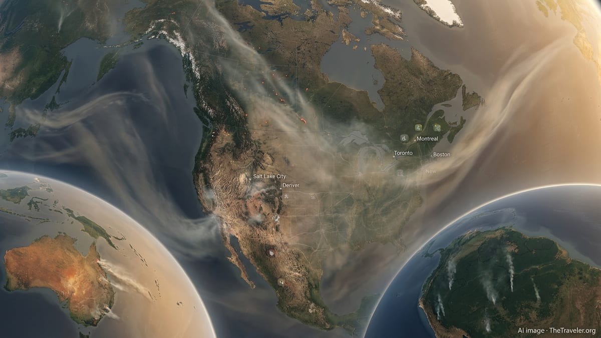
Lightning barrage transforms already tense wildfire season
Publicly available information from the BC Wildfire Service indicates roughly 50 new blazes were recorded in the 24 hours leading into Sunday, August 23, after lightning swept across all of the province’s southern fire centres. The burst of activity pushed the season’s tally of active fires higher at a time when much of the Interior and the Okanagan were already facing what experts have described as highly volatile burning conditions.
Coverage from multiple outlets notes that the Bald Range wildfire near Summerland, in the Okanagan Valley, remains one of the most challenging incidents of the season, with recent mapping putting its size at more than 17,000 hectares. The latest lightning-triggered ignitions have added pressure to crews already deployed across the region, including in areas where previous weeks of hot, dry weather had primed forests and grasslands to burn quickly.
Reports also point out that many of the new fires are classified as lightning-caused rather than human-caused, reflecting a pattern seen in recent years. While human activity is responsible for a significant share of overall fire starts, analyses of previous seasons show lightning-driven fires tend to account for a much larger proportion of total area burned, underscoring the risk when powerful storm systems track over parched terrain.
The surge in fire activity follows weeks of heightened alerts across British Columbia, with forecasts calling for repeated rounds of thunderstorms across the Interior. Seasonal outlooks published by provincial and federal agencies earlier in the summer highlighted how prolonged heat, low humidity and exceptionally dry fuels could allow any new lightning ignitions to spread rapidly if not contained early.
Vancouver airport operations hit by hours-long disruption
The same storm that sparked new fires also delivered one of the most significant operational hits of the summer to Vancouver International Airport (YVR). According to published coverage, lightning over the South Coast on Saturday night and early Sunday led to a near-halt in ground movements between roughly 9 p.m. and 3 a.m. as aircraft were unable to taxi and ground crews were kept off the tarmac for safety.
City-focused reporting from Vancouver indicates that by midday Sunday at least 50 flights at YVR had been cancelled and more than 50 others delayed as the airport worked through backlogs. Images and posts shared publicly showed arriving aircraft parked on taxiways waiting for clearance to reach gates, while departing passengers reported being held in terminals as the storm cell remained within range of airport lightning protocols.
Travel industry observers note that such disruptions can ripple well beyond the region, as aircraft and crew rotations are thrown off schedule. With Vancouver serving as a major trans-Pacific hub and connection point for domestic flights into the Interior and northern Canada, Sunday’s delays are expected to affect itineraries through the rest of the weekend and potentially into Monday.
Available information from aviation safety guidance explains that many airports apply strict “hold” rules when lightning is detected within a specified radius, preventing ramp workers from servicing aircraft until a defined period has passed without a strike. The overnight storm’s persistence over the Lower Mainland kept those restrictions in place for hours, compounding the impact on airline operations.
South Coast sees rare display of lightning and heavy rain
Weather analysts quoted in regional coverage have described the system over southern British Columbia as unusual for its intensity and timing. Preliminary tallies from Environment Canada, shared through news and community platforms, indicate more than 1,800 lightning events over the Lower Mainland alone, with more than 7,000 provincewide as storms tracked across Vancouver Island, the Sunshine Coast and into the Interior.
The storm also delivered significant rainfall in some coastal locations, including reports of more than 40 millimetres at Horseshoe Bay over a relatively short period. While the moisture brought temporary relief from smoky skies in parts of Metro Vancouver, experts caution that intense downpours do not necessarily translate into meaningful, long-term easing of drought conditions in the Interior, where many lightning-ignited fires occurred.
On the ground, residents across the South Coast described vivid nighttime lightning displays and brief power interruptions. Utilities and municipal dashboards on Sunday showed scattered outages, with crews deployed to restore service as weather conditions improved. Transportation routes around Metro Vancouver were also affected at times by standing water and reduced visibility.
Meteorologists tracking the system link its strength to a combination of lingering late-summer heat at the surface and an influx of moisture at higher levels of the atmosphere, a setup that can fuel towering thunderclouds capable of producing frequent lightning. Such patterns have been drawing increased attention in western North America as researchers examine connections between a warming climate, more energetic storms and the potential for lightning-driven wildfires.
Interior communities watch closely as new fire starts are assessed
With lightning strikes recorded across a wide swath of southern British Columbia, wildfire agencies and local governments spent Sunday monitoring whether the latest ignitions would threaten communities, transportation corridors or power infrastructure. Early reports suggested that many of the roughly 50 new fires remained relatively small, but officials have warned throughout the season that so-called “holdover” fires can smoulder unnoticed in tree roots and forest duff before emerging later during hot, dry periods.
Areas around the Bald Range wildfire near Summerland and other established incidents in the Okanagan and Thompson regions remain particular concerns. Previous updates from wildfire operations leaders have emphasized that fuel dryness in these zones is at or near record levels for late August, meaning even modest wind shifts or renewed heat could quickly intensify local fire behaviour.
Communities that experienced evacuation alerts and poor air quality earlier in the summer continue to prepare for possible further disruptions. Local media coverage highlights ongoing efforts to keep residents informed about changing conditions, with emphasis on monitoring official wildfire dashboards, staying ready for evacuation notices where they are in place, and making use of reception centres and support services if required.
Transportation networks are also under scrutiny. Highways in the Interior that were previously affected by fire-related closures are being watched for any renewed threats from new or expanding blazes. Travel advisories ahead of the late-summer holiday period have urged motorists to plan extra time, carry emergency supplies and check both wildfire and weather conditions before setting out.
Travelers weigh options amid fire risk and storm-related delays
For travelers in and out of British Columbia, the combination of lightning-driven fires inland and storm-related airport disruptions on the coast has added fresh uncertainty to late-August plans. Airline statements and airport advisories on Sunday urged passengers to monitor their flight status closely, arrive early where possible and be prepared for rebookings as carriers adjust schedules.
Tourism operators in the Okanagan and other Interior destinations, already navigating a season marked by smoke and intermittent evacuation alerts, now face additional questions from visitors about road safety, air quality and contingency arrangements. Industry groups have encouraged travelers to remain flexible, pay attention to local guidance and consider travel insurance options that cover weather and wildfire disruptions.
Meanwhile, the storm highlights how quickly conditions can turn in a province where busy travel corridors overlap with fire-prone landscapes. Analysts reviewing recent seasons in British Columbia point to a wider pattern in which brief but intense weather events, including dry lightning outbreaks and severe thunderstorms, can reshape the trajectory of a fire year within days.
As crews assess the newest wildfires and airlines work through delayed flights, residents and visitors across British Columbia are being reminded that late summer remains a high-risk period. The events of this weekend illustrate how intertwined weather, wildfire behaviour and transportation systems have become, particularly in a warming climate where scientists expect more frequent episodes of extreme conditions.
More than 7,000 lightning strikes spark new wildfires across B.C. – NanaimoNewsNOW
Intense storm brings power outages, travel woes to parts of B.C. – CityNews Vancouver
Dozens of YVR flights cancelled or delayed after lightning storm – CityNews Vancouver