


More news on this day
Storm Boelo has brought widespread rail disruption across North West England on Sunday 25 October, with trees falling near Manchester, overhead line damage and multiple operators issuing strong "do not travel" warnings for large parts of the region.
Get the latest news straight to your inbox!
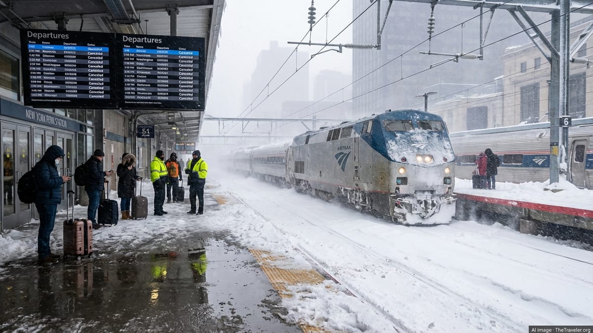
Severe weather hits key rail corridors around Manchester
Storm Boelo, the second major storm to strike the United Kingdom this weekend, is battering northern England with high winds and heavy rain, disrupting rail services across Greater Manchester, Lancashire, Merseyside and Cumbria. Met Office warnings highlight a very windy and wet spell for northern areas, with widespread gusts strong enough to bring down trees and affect power lines.
Network Rail reports that the storm has led to flooding on some sections of track and damage to overhead electric wires that power trains. Images released through official channels show large trees brought down beside the railway between Wigan and St Helens, and further obstructions on routes into Manchester Piccadilly. These incidents are forcing engineers to close lines while they make the route safe, triggering extensive cancellations and diversions.
The broader weather pattern has seen Storm Boelo follow closely behind Storm Austen, which affected southern England earlier in the weekend. While Austen focused its strongest impacts on the south coast, Boelo has shifted the disruption northward, with the North West and Scotland facing the most severe conditions through Sunday.
“Do not travel” messages as operators scale back services
Rail operators serving Manchester and the wider North West have moved from general warnings to firm advice for passengers to avoid rail travel wherever possible. Information published by National Rail shows severe disruption status across the network, with specific alerts in place for Avanti West Coast, Northern, Merseyrail and other operators on routes in and out of the city.
Avanti West Coast, which runs long distance services on the West Coast Main Line, is operating a reduced timetable north of Preston on Sunday 25 October. Official disruption notices advise customers to avoid all but essential travel in this area, citing speed restrictions and a heightened risk of further trees and debris on the line.
According to travel updates shared by Northern and reported by regional media, passengers are being “strongly advised not to travel” in the North West today because of multiple infrastructure problems across the route map. Short-notice cancellations, significant delays and train formations with fewer carriages than normal are all highlighted as likely throughout the day.
On Merseyrail, publicly available information from National Rail indicates that a tree blocking the railway at West Kirby on the Wirral, and earlier issues near Walton on lines towards Headbolt Lane and Ormskirk, have required services to be suspended or altered. Replacement road transport is in use on some corridors, although conditions on local roads are also being affected by high winds and fallen branches.
Fallen trees and power issues compound disruption
The combination of saturated ground and strong gusts has made trees particularly vulnerable across the region, contributing to the most visible impacts on rail infrastructure. Network Rail photographs from the North West show mature trees uprooted or leaning across the railway, with some caught in overhead power equipment.
Regional news coverage from the Granada area indicates that homes have lost electricity supplies as Storm Boelo sweeps through, and that emergency teams are dealing with blocked roads and damage to buildings. On the rail network, similar conditions are forcing precautionary speed limits in exposed locations, significantly extending journey times even on lines that remain open.
National Rail’s disruption pages describe Storm Boelo as an active “severe weather” incident that may affect services until at least Monday 26 October. Train planners warn that the real-time journey planner can only be updated gradually as conditions change, making it difficult for passengers to rely on last-minute travel decisions, particularly on cross-country routes that pass through several affected regions.
With the Met Office highlighting rainfall totals of several centimetres in a matter of hours for upland areas and ongoing yellow and amber warnings across northern England and Scotland, rail operators and infrastructure managers are preparing for further reports of landslips, flooded track and additional fallen trees through the remainder of Sunday.
Impact on passengers and alternative options
For passengers in and around Manchester, the result has been a patchwork of cancellations, heavily altered timetables and overcrowding on the limited services that continue to run. Journeys between Manchester, Wigan, Liverpool, Preston and Cumbria have proved particularly challenging, with some routes blocked entirely and others operating only via diversions.
National Rail guidance encourages travellers whose journeys are not time-critical to postpone their plans and use tickets on alternative days once conditions improve. Where travel is unavoidable, the advice is to check for the latest information immediately before departure and to allow substantially more time than usual, as journey planners may not capture every short-notice change caused by further weather-related incidents.
Some operators are accepting tickets on different routes or on later services as part of their disruption policy for Storm Boelo, although the details vary between companies. Road replacement transport has been arranged in certain areas, but strong winds, surface water and congestion on key motorway and A-road links mean that substitute buses are also subject to delays.
Passengers needing accessible transport or travelling with bicycles are being directed, through public information pages, to dedicated guidance on using rail replacement services. However, providers acknowledge that capacity is limited and that journey times can be significantly longer than for normal train services, especially on longer-distance intercity links north of Manchester.
Outlook for the remainder of the storm
Met Office weather warnings show that northern England will remain under at least a yellow alert for wind and rain through Sunday evening, with the potential for some warnings to be updated as the low-pressure system tracks eastwards. The official forecast notes the likelihood of further short-term disruption to railways, roads and ferries, and the chance of continued power interruptions in exposed areas.
Network Rail indicates that engineering teams are positioned at key points on the North West network to remove debris, inspect structures and repair overhead line equipment as soon as conditions allow. Experience from previous autumn and winter storms suggests that the most intensive recovery work often begins once winds ease, meaning that Monday morning commuters may still encounter delays even if weather conditions have improved.
Travel organisations and forecasters are also monitoring the potential for further unsettled weather systems early in the coming week. While any subsequent storms are not currently expected to match the intensity of Boelo, the cumulative effect on already saturated ground and stressed vegetation could keep the rail network vulnerable to additional disruption.
For now, the clear message to rail users in the Manchester area and across the wider North West is to avoid unnecessary journeys on Sunday, stay informed about rapidly changing conditions and be prepared for ongoing alterations to services as Storm Boelo continues its passage across the UK.