


More news on this day
A rapidly intensifying El Niño in the tropical Pacific, described in some scientific and media coverage as a potential “Godzilla” event, is heightening fears of some of the strongest storms on record and triggering new travel warnings for popular coastal destinations.
Get the latest news straight to your inbox!
El Niño strengthens toward historic levels
Recent assessments from international climate monitoring centers indicate that sea surface temperatures in the central and eastern equatorial Pacific are running well above average, with anomalies already exceeding 2 degrees Celsius in key benchmark regions and still rising. This pattern confirms that El Niño is firmly in place and continuing to strengthen heading into the final months of 2026.
The World Meteorological Organization has reported that El Niño is expected to reach very strong intensity before the end of the year, with its influence on global weather patterns likely to continue into 2027. Publicly available forecasts from the United States Climate Prediction Center describe a greater than 90 percent probability that the event will be classified as very strong during the Northern Hemisphere fall and winter season of 2026 to 2027.
Coverage by outlets including the BBC and Euronews notes that some scientists and commentators are informally referring to the developing pattern as a “super” or “Godzilla” El Niño because sea surface temperatures in parts of the Pacific have already surpassed those seen in previous major events such as 1997 to 1998 and 2015 to 2016, even though the current episode has not yet peaked.
Research highlighted by agencies such as the U.S. Geological Survey and international academic groups emphasizes that very strong El Niño events can dramatically shift rainfall and storm tracks over the Pacific and Atlantic, altering the position and strength of the jet stream and creating conditions that favor more intense tropical cyclones, heavier downpours, and more prolonged droughts in different regions of the world.
Hurricane Polo and a warning over near-record storm strength
The immediate trigger for the latest travel warning has been Hurricane Polo in the eastern Pacific, which underwent what meteorologists describe as rapid intensification over exceptionally warm waters off the southwestern coast of Mexico. According to publicly available satellite analyses and reporting from international news agencies, Polo strengthened quickly into a powerful hurricane, with some coverage describing it as one of the strongest storms ever observed in that basin for this point in the season.
Coverage drawing on analysis from NASA notes that Polo’s rate of intensification and final strength before leveling off were characterized as striking, with the storm’s structure and wind field evolving over a short period as it tracked parallel to the Mexican coast. The cyclone remained just offshore but still delivered heavy rain, rough surf, and hazardous marine conditions along parts of the Pacific shoreline.
Reports from travel and general news outlets indicate that rainfall totals associated with Polo reached around 150 to 200 millimeters in some coastal states, including Guerrero, Michoacán, and Colima. These downpours increased the risk of flash flooding and landslides in mountainous areas, although the absence of a direct landfall reduced the potential for widespread coastal wind damage compared with an onshore strike.
Climate specialists cited in open reports caution that one storm alone cannot be attributed entirely to El Niño. However, they also stress that the very warm ocean temperatures and altered atmospheric patterns linked to the ongoing event helped create an environment that favored rapid intensification and higher peak wind speeds, a pattern that may repeat in other basins during the coming months.
Fresh travel advisories for Pacific and Atlantic coasts
In response to the evolving situation, national meteorological agencies and disaster management bodies across the Americas and the wider Pacific region have been issuing updated outlooks for the current hurricane and typhoon seasons. Public bulletins from the National Hurricane Center and the Climate Prediction Center highlight an elevated risk of intense tropical cyclones in parts of the eastern Pacific and Atlantic, even though the exact number and track of storms remain uncertain.
Destination-focused travel coverage has begun to reflect these warnings. Articles on consumer travel sites describe a higher likelihood of disruptive weather for beach destinations along Mexico’s Pacific coast, Central America, and some Caribbean islands during the remainder of 2026 and into early 2027. Travelers are being reminded that very strong El Niño years often bring unusual storm tracks, with heavy rain and flooding sometimes affecting areas that experienced quieter conditions in previous seasons.
Insurance companies and risk consultancies are also drawing attention to the growing number of rapidly intensifying storms in recent years. Climate and catastrophe risk reports emphasize that storms which strengthen quickly over warm water can leave coastal communities and visitors with very limited time to adjust travel plans, secure property, or evacuate low-lying areas before dangerous winds and surge arrive.
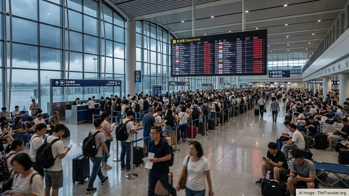
For air travel, publicly available airline advisories suggest that stronger and less predictable storm systems may result in more frequent last-minute cancellations or diversions on routes serving coastal hubs in North and Central America and on transpacific itineraries that cross active storm zones. Cruise operators and ferry services in affected regions similarly caution that itineraries may be changed at short notice to avoid hazardous seas.
What travelers need to know for the 2026–2027 season
Travelers planning trips to Pacific and Atlantic coastal destinations over the next six to nine months are being urged, through public information campaigns and media coverage, to monitor seasonal outlooks as closely as they would check individual storm forecasts. Very strong El Niño conditions tend to boost rainfall in some locations while suppressing tropical cyclone activity in others, making region specific guidance essential.
For North America, current outlooks compiled by agencies such as the Climate Prediction Center and the U.S. Geological Survey highlight an increased chance of wetter conditions in parts of the southern United States and drier conditions in parts of the Pacific Northwest, with the jet stream often shifting southward. This pattern can translate into more intense winter storms and flooding rain events in California and the U.S. Southwest, developments that have clear implications for road travel, mountain passes, and popular winter tourism areas.
In the wider Pacific and Indian Ocean basins, the World Meteorological Organization points to heightened risks of drought and fire weather in some regions and flooding in others, depending on how the current El Niño interacts with local climate patterns. International humanitarian and development organizations are warning that the combination of extreme rainfall, crop stress, and coastal storms could disrupt infrastructure in parts of Southeast Asia, the Pacific Islands, eastern Africa, and South America, affecting everything from domestic air links to ferry services and overland transport routes.
Travel news outlets are advising that visitors build additional flexibility into itineraries, particularly between October 2026 and March 2027, when the event is forecast to be at or near its peak. That may include allowing extra days between critical connections, choosing fully refundable or changeable fares where possible, and confirming that accommodation providers have clear policies for weather related cancellations.
Practical risk management for trips during a ‘Godzilla’ El Niño
While the phrase “Godzilla El Niño” is informal and not used in scientific classifications, the underlying message from climate monitoring agencies is that the current event is unusually strong and capable of driving significant extremes. Publicly available advisories emphasize that travelers do not need to cancel all plans but should approach trips with the same level of preparation they would adopt for any season with heightened storm risk.
Travel risk specialists and consumer advocates quoted in open reports recommend that visitors to hurricane and typhoon prone areas pay close attention to official meteorological forecasts in the week before departure and during a trip, rather than relying solely on long-range seasonal headlines. They also highlight the importance of registering contact details with tour operators or cruise lines so that last minute changes can be communicated quickly.
Insurance policies are another focus of current guidance. Comparison features in travel media suggest that travelers look for cover that explicitly addresses named storm events, evacuation costs, and trip interruption linked to airport or port closures. Policies that exclude “known events” after a certain forecast date may be less useful once a specific storm like Hurricane Polo has been named, so checking terms carefully before purchase is essential.
For independent travelers, emergency planning steps such as identifying higher ground in coastal towns, learning local alert systems, and keeping copies of travel documents stored securely in digital form are being promoted as low cost ways to reduce risk. As forecasts for the 2026 to 2027 El Niño continue to point toward a very strong event, travel organizations and meteorological agencies are expected to issue further updates, making ongoing awareness a key part of safe travel in the months ahead.