


More news on this day
Early-morning journeys across Dorset faced significant disruption on Sunday, as dense patches of fog prompted a Met Office yellow weather warning for large parts of the county and surrounding regions.
Get the latest news straight to your inbox!
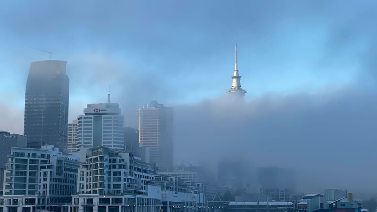
Warning in force as visibility drops below 100 metres
The Met Office issued the yellow fog warning at 23:18 UTC on Saturday 31 October 2026, advising that dense fog was likely to cause travel delays between 00:00 and 10:00 on Sunday 1 November. The alert covered much of southern and central England and parts of Wales, including the whole of Dorset within the South West England region.
Publicly available forecast information indicates that fog developed widely overnight, with visibility in the worst-affected areas falling below 100 metres. Localised patches were reported around inland communities such as Sherborne and East Stour, where the Met Office’s location-specific warnings highlighted the potential for “difficult travel conditions” during the morning commute.
In Dorchester and other eastern parts of the county, forecast data showed dense mist and fog at first light, gradually lifting through the late morning to leave brighter intervals. The warning stressed that conditions could vary sharply over short distances, with drivers moving quickly from relatively clear stretches into areas of very poor visibility.
According to the Met Office’s National Severe Weather Warning Service guidance, a yellow warning signals a high likelihood of some low to moderate impacts, particularly for transport. For Sunday’s event, the main concerns related to slower journey times, possible delays to bus and rail services, and a chance of disruption at airports serving the wider region.
Road, rail and air travellers advised to allow extra time
Travel information services for Dorset indicated a busy morning on the roads, with congestion building where reduced visibility coincided with existing bottlenecks. Dorset Council’s live travel updates page flagged incidents on key routes including the A35 near Poundbury and the A31 towards the Hampshire border, with queues developing as traffic moved more cautiously through affected sections.
Although not all disruption could be directly attributed to the fog, the combination of reduced speeds, collision investigations and ongoing roadworks created delays for drivers heading into Dorchester, Weymouth and Bournemouth. Publicly available road reports described slow-moving traffic on main arteries and localised hold-ups where minor incidents occurred in thick patches of mist.
Rail passengers across the South West were also urged via operator and media updates to check service information before travelling. Dense fog can require additional signalling precautions and slower running in some areas, particularly on routes with level crossings or where visibility for drivers is significantly reduced. While early indications on Sunday suggested services were operating, journey times on certain lines were expected to be extended.
Air travel into and out of regional airports serving Dorset, including Bournemouth and Exeter, remained under close scrutiny. The Met Office warning noted a chance of flight delays or cancellations where low cloud bases and fog affected runway visibility. As of mid-morning, published aviation and media updates did not indicate widespread cancellations, but travellers were advised to monitor airline and airport channels closely.
How a yellow fog warning works
The yellow alert in Dorset formed part of a wider warning area stretching across portions of South West England, the Midlands, London and the East of England, as well as parts of Wales. Under the Met Office impact-likelihood matrix, Sunday’s warning combined a high likelihood of fog with a moderate level of expected disruption.
Guidance published by the Met Office explains that yellow warnings can be issued for a range of weather types, including fog, when forecasters expect some low-level impacts in a number of places. These can include slower road journeys, localised transport delays and a heightened risk of minor collisions where visibility deteriorates quickly.
Unlike amber or red alerts, a yellow warning does not typically indicate widespread severe damage or a high risk to life. Instead, it signals that while many people may be able to continue with their usual plans, a significant minority are likely to experience disruption, particularly if travelling early in the warning period or through known fog-prone corridors.
For Sunday’s event, the official description emphasised that fog would be “dense in places” and prone to lingering into late morning. Forecasters indicated that once the fog lifted, conditions across Dorset would become largely dry with sunny spells, reducing weather-related risks for travellers later in the day.
Advice for drivers and visitors in affected areas
Guidance from national weather and road-safety bodies stresses the importance of adjusting driving behaviour when a fog warning is in force. Motorists in Dorset were advised through public channels to allow extra time for journeys, reduce speed where visibility is restricted and ensure fog lights are working before setting out.
Travel advice highlights that drivers should use dipped headlights and, where fitted, front and rear fog lights when visibility drops significantly, but switch them off once conditions improve to avoid dazzling other road users. Keeping greater distance from the vehicle ahead and avoiding sudden braking are also recommended to reduce the risk of collisions in dense patches.
Visitors heading to Dorset’s coastal resorts and countryside attractions on Sunday morning were encouraged by tourism and media outlets to check local forecasts and road reports before departure. Inland valleys and low-lying routes, including sections of the A37, A35 and A354, are particularly susceptible to lingering fog after clear, calm nights at this time of year.
National guidance also stresses that bus, train, ferry and air passengers should verify the status of their services directly with operators. While many journeys continue during yellow warnings, reduced speeds, revised timetables or altered boarding arrangements are possible when visibility falls below normal safety thresholds.
Conditions expected to improve later in the day
Forecasts for Dorset suggested that the most challenging conditions would be confined to the early morning period, with mist and fog gradually thinning by late morning and early afternoon. Once the fog cleared, the outlook indicated largely dry weather with sunny spells, providing more favourable travel conditions for the remainder of Sunday.
The Met Office advised that, although no further fog warnings were in place for Dorset after 10:00 on 1 November, travellers should remain alert to localised patches of mist in sheltered areas as temperatures fall again overnight. In addition, guidance for the National Severe Weather Warning Service emphasises that warnings can be updated or extended if new data indicate a change in risk.
For now, publicly available information points to a return to more typical late-autumn conditions across the county, with cooler nights and brighter days but the potential for further fog episodes on calm, clear mornings. Travellers planning early starts in the coming days are encouraged to keep checking the latest official forecasts and traffic reports before setting out.
With Sunday’s yellow warning highlighting the speed at which visibility can deteriorate on Dorset’s road network, transport agencies and weather services continue to underline the value of cautious driving, flexible journey planning and paying close attention to updated guidance whenever fog is in the forecast.