


More news on this day
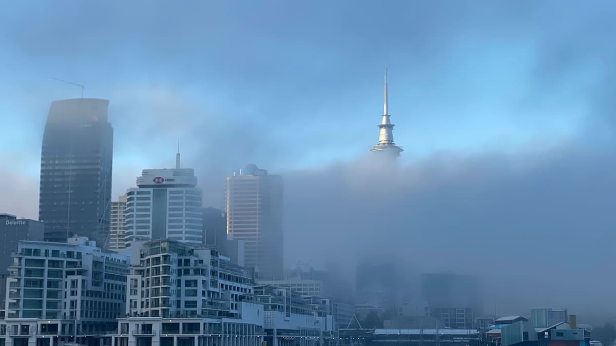
Thick patches of fog across Yorkshire and the Humber have triggered a Met Office yellow warning, increasing the risk of disrupted journeys by road, rail and air through Monday morning.
Get the latest news straight to your inbox!
Yellow warning covers key Yorkshire routes and cities
The latest National Severe Weather Warning Service update places a yellow warning for fog over Yorkshire and the Humber from 18:00 on Sunday 8 November to 11:00 on Monday 9 November, overlapping evening departures and the Monday morning commute. Publicly available Met Office information states that the alert carries a high likelihood and moderate impact, meaning travel disruption is considered possible rather than exceptional.
Coverage maps indicate that the warning zone includes a wide stretch of the region, taking in major urban centres such as Sheffield, Leeds, Wakefield, Doncaster and York. Regional reporting highlights that Sheffield, Doncaster, Barnsley and Rotherham are among locations where visibility may fall below 50 metres in places, particularly overnight and into early morning.
The warning follows an earlier fog alert valid from midnight until 10:00 on Sunday 8 November, which affected parts of South Yorkshire and other areas of England and Wales. Forecasters expect fog to form readily again on Sunday evening, becoming extensive by Monday morning before thinning slowly later in the day.
According to summary guidance from the Met Office and regional resilience documents, yellow warnings are intended to prompt people to check forecasts and consider their plans, rather than indicating severe conditions on the scale of amber or red alerts. Even so, past risk assessments for West Yorkshire note that poor visibility is a recurring cause of localised disruption to road and public transport networks.
Road users urged to prepare for dense fog conditions
Public guidance associated with the current yellow warning points to slower journey times on key A roads and motorways running through Yorkshire and the Humber. Reduced visibility on routes such as the M1, A1(M), M62 and trans-Pennine links can quickly lead to congestion when vehicles slow or when minor collisions occur in dense patches of fog.
Recent local coverage of Sunday morning conditions in South Yorkshire reported visibility falling below 50 metres in some corridors, a level at which standard headlights are often insufficient and braking distances lengthen sharply. Advisory material from regional emergency planning bodies lists fog among the hazards that can increase the number of minor road traffic collisions, especially where drivers are unfamiliar with operating rear fog lights or maintaining greater separation distances.
Motorists travelling early on Monday are being advised in public information to check road conditions before setting out, allow extra time and ensure lights are working correctly. Guidance also emphasises that drivers should avoid using full beam in fog, because it can reflect off water droplets and further reduce what can be seen ahead.
Rural stretches and higher routes, including moorland approaches commonly used to access the North York Moors and Yorkshire Dales, are considered particularly prone to prolonged low visibility. Previous assessments of roads such as the A169 across the North York Moors describe dense fog as a regular winter hazard, and similar conditions may develop where cold, still air persists overnight.
Rail and bus passengers face potential delays
The yellow fog warning also highlights the possibility of delays to bus and rail services across the warning area. While trains generally continue to run in fog, low visibility can slow operations at stations and junctions, especially during busy commuter periods when increased caution is required around platforms, crossings and signals.
Regional risk registers compiled for Yorkshire note that severe weather is one of the main causes of disruption to public transport, often through a combination of slower speeds, altered timetables and knock-on congestion when connecting services are delayed. In the case of fog, even relatively modest speed restrictions can cascade across tightly timed networks.
Bus operators are similarly affected, particularly on inter-urban routes and school runs set to begin while fog remains thickest. Public advice drawn from local resilience planning suggests that travellers should verify live running information on the morning of travel and be prepared for longer door-to-door journey times, even where services appear to be operating close to schedule.
Transport planners in the region typically treat yellow fog warnings as a prompt to monitor network performance rather than to pre-emptively suspend services. However, because the current alert stretches across much of central and northern England, delays on long-distance trains and coaches that pass through Yorkshire may originate well outside the county.
Chance of flight disruption at northern airports
The Met Office warning text notes a chance of delays or cancellations to flights during the period of thick fog. On previous occasions when similar alerts have covered Yorkshire and the Humber, early morning schedules at airports such as Leeds Bradford and Doncaster Sheffield have been vulnerable to disruption while visibility on runways and taxiways remains below operational thresholds.
Broader national coverage of today’s fog indicates that impacts are not confined to Yorkshire, with the warning area also spanning parts of London, the Midlands, north-west and south-west England and Wales. That wider footprint raises the possibility that flights to and from the region could be affected by knock-on disruption elsewhere, particularly at major hubs handling connections from Yorkshire’s airports.
Aviation guidance referenced by news outlets stresses that modern landing systems allow operations in relatively low visibility, but ground movements can still be curtailed when conditions deteriorate, leading to holding patterns, diversions or schedule reshuffles. Travellers planning to fly during the warning window are being advised, in public-facing information, to check the status of departures and arrivals before leaving for the airport.
For those with fixed onward travel, such as cruise connections or long-distance rail tickets, consumer advice commonly recommends allowing a generous buffer where fog warnings are in place. Given that the current alert extends into Monday morning, business travellers returning from weekend breaks may be particularly exposed to timetable changes.
What the yellow status means for travellers
Background guidance on the National Severe Weather Warning Service explains that yellow alerts cover a broad range of likelihood and impact, from situations with a lower probability of more significant disruption to those with a higher likelihood of modest impacts. The present fog warning for Yorkshire and the Humber is categorised as high likelihood and moderate impact, indicating that some disruption is considered reasonably possible, but not on a scale that would trigger an amber warning.
Community resilience leaflets produced with Met Office input advise that people treat yellow warnings as a cue to stay informed, share information with friends and family and think ahead about how weather might affect planned activities. For travellers in Yorkshire, that translates into checking real-time traffic and transport updates, planning alternative routes where available and considering flexible tickets or earlier departures where commitments are time sensitive.
Health and emergency planning documents for the wider Humber and North Yorkshire area also highlight how fog and other winter hazards can compound pressures on local services. Even minor increases in road collisions or slips linked to poor visibility can contribute to higher demand on ambulance and hospital resources, particularly when they coincide with other seasonal pressures.
Forecasts suggest that fog will gradually lift late on Monday morning, with no further warnings currently indicated for Yorkshire and the Humber later in the week. However, the Met Office and regional risk planners regularly underline that warnings can change at relatively short notice. Travellers heading into or out of Yorkshire over the coming days are therefore being encouraged, through public information channels, to keep checking for updates as winter conditions develop.