


More news on this day
Travelers flying through Denver International Airport this summer are being urged to treat afternoon departures with caution, as storm-driven delays remain common even as aviation planners refine strategies to keep traffic moving.
Get the latest news straight to your inbox!
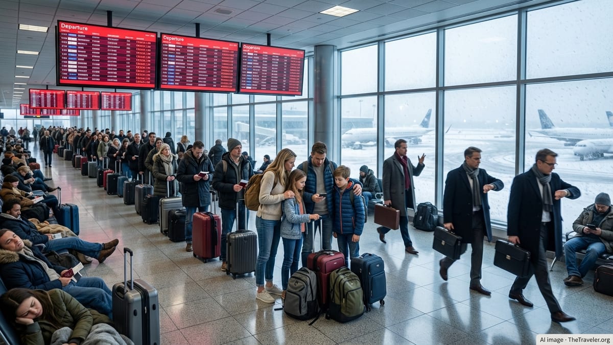
Afternoon storms meet a packed schedule
Denver International Airport sits on the western edge of the Plains, in a corridor where warm, unstable air frequently collides with drier air descending from the Rockies. Federal aviation guidance notes that the national air traffic system is most vulnerable to thunderstorm disruption between April and October, a pattern that closely matches Denver’s busy travel season.
Recent storm events illustrate how quickly conditions can affect afternoon operations. In June 2026, strong thunderstorms prompted a ground stop and extended arrival delays at Denver, with some flights held for close to an hour as cells moved across the metro area. Similar patterns appeared in June 2025, when a tornado watch and severe weather across eastern Colorado contributed to hundreds of delays and a sharp afternoon backlog of departures.
These weather systems typically peak from midafternoon into the early evening. Case studies published by meteorologists supporting Denver’s air route traffic control center show that convective storms often build over the mountains or foothills, then organize and push east across the airport’s approach and departure paths late in the day. That timing places the most intense weather squarely on top of one of the airport’s busiest departure banks.
Travel data and traveler accounts from recent summers point to a consistent theme. Midday flights usually leave with manageable waits, but once storms develop, flights scheduled between roughly 2 p.m. and 7 p.m. are more likely to face departure holds, reroutes or ground stops as controllers slow the flow of traffic for safety.
Why afternoon departures are vulnerable
The structure of modern airline schedules adds to the challenge. Denver functions as a major connecting hub, with waves of arriving and departing flights timed to feed one another. Afternoon banks are designed to funnel travelers from late-morning arrivals onto cross-country and regional departures, which leaves little slack when thunderstorms force sudden changes.
When towering cumulonimbus clouds form near Denver’s runways or along key arrival and departure corridors, air traffic managers often reduce the number of flights allowed to land or take off per hour. Published guidance from the Federal Aviation Administration describes how severe weather management plans rely on traffic management initiatives such as ground delay programs and departure metering to keep aircraft out of the most hazardous airspace.
In effect, that means more aircraft waiting at gates or on taxiways instead of holding in the air. During some recent weather events, reports from pilots and passengers have described departure lines of dozens of aircraft stretching along the taxiways as Denver remained in an arrival-heavy configuration to absorb inbound traffic. Under that setup, outbound flights often take the brunt of the delay so that diversions and airborne fuel concerns can be minimized.
Seasonal construction has added a further constraint. An FAA construction impact report for early 2026 lists Denver among the airports experiencing reduced capacity and a greater sensitivity to weather-related delays while runway and taxiway projects are underway. Because much airfield work must be done during the warmer months, those capacity limits often coincide with thunderstorm season.
How aviation planners are preparing
Despite the risks, Denver’s delay patterns do not necessarily signal disorder. Instead, they reflect an air traffic system that is increasingly oriented around anticipating storms and absorbing their impact. National aviation planning documents emphasize that traffic managers use a combination of meteorological tools, probabilistic thunderstorm forecasts and historical case studies to shape daily operating plans at major hubs such as Denver.
For the Denver region specifically, specialists at the air route traffic control center apply strategies such as “capping and tunneling” during significant weather events, according to operational plans published by the FAA. These techniques involve adjusting cruise altitudes or bringing aircraft down earlier than normal to route them under or around storm cells while preserving a safe volume of traffic in constrained sectors.
When forecasters expect widespread afternoon thunderstorms, the national command center may incorporate Denver into a broader operations plan for the central United States, outlining potential ground delay programs and reroute corridors hours before the first storm appears on radar. Publicly available advisories show that Denver is frequently grouped with major hubs in Texas and the Midwest during active weather days, reflecting its role in cross-country traffic flows.
At the airport level, Denver’s recent expansion of concourses and gate areas has also given airlines more flexibility to hold aircraft at gates instead of remote pads, reducing the need for passengers to sit on taxiways during extended delays. While these infrastructure changes do not eliminate weather impacts, they can help make the experience more manageable when departures are paused.
What the latest patterns mean for travelers
For travelers, the emerging picture is one of heightened afternoon risk rather than guaranteed disruption. Weather data and delay histories indicate that many afternoon flights still depart close to schedule on benign days, especially outside the peak of thunderstorm season. However, when storm systems align with the airport’s busiest connecting waves, even a short period of lightning or heavy rain can ripple through the schedule for hours.
Travel advisors and frequent flyers often recommend building extra buffer time into afternoon itineraries that rely on tight connections through Denver between late spring and early fall. That could mean opting for slightly longer layovers or choosing earlier departures when possible if same-day connections are critical.
The current decade’s investment in forecasting tools, collaborative planning and airfield expansion suggests that Denver is better positioned to manage storm-related disruptions than in the past. Federal aviation reports highlight ongoing research into improved thunderstorm prediction and traffic flow management, and the Denver region has been included in several national case studies aimed at refining best practices.
Even so, the combination of a storm-prone geography, a tightly timed hub schedule and ongoing construction means that afternoon travelers at Denver International Airport remain exposed to elevated delay risk. For now, awareness and flexibility remain the most practical tools passengers can bring to the concourse, while the airport and the wider air traffic system continue working to keep operations resilient when the clouds build over the Front Range.