


More news on this day
Winter storm alerts in Canada’s far northwest are once again putting a spotlight on the risks of Arctic highway travel, as fresh warnings for key routes in Yukon and neighboring regions signal rapidly deteriorating driving conditions at the start of the cold season.
Get the latest news straight to your inbox!
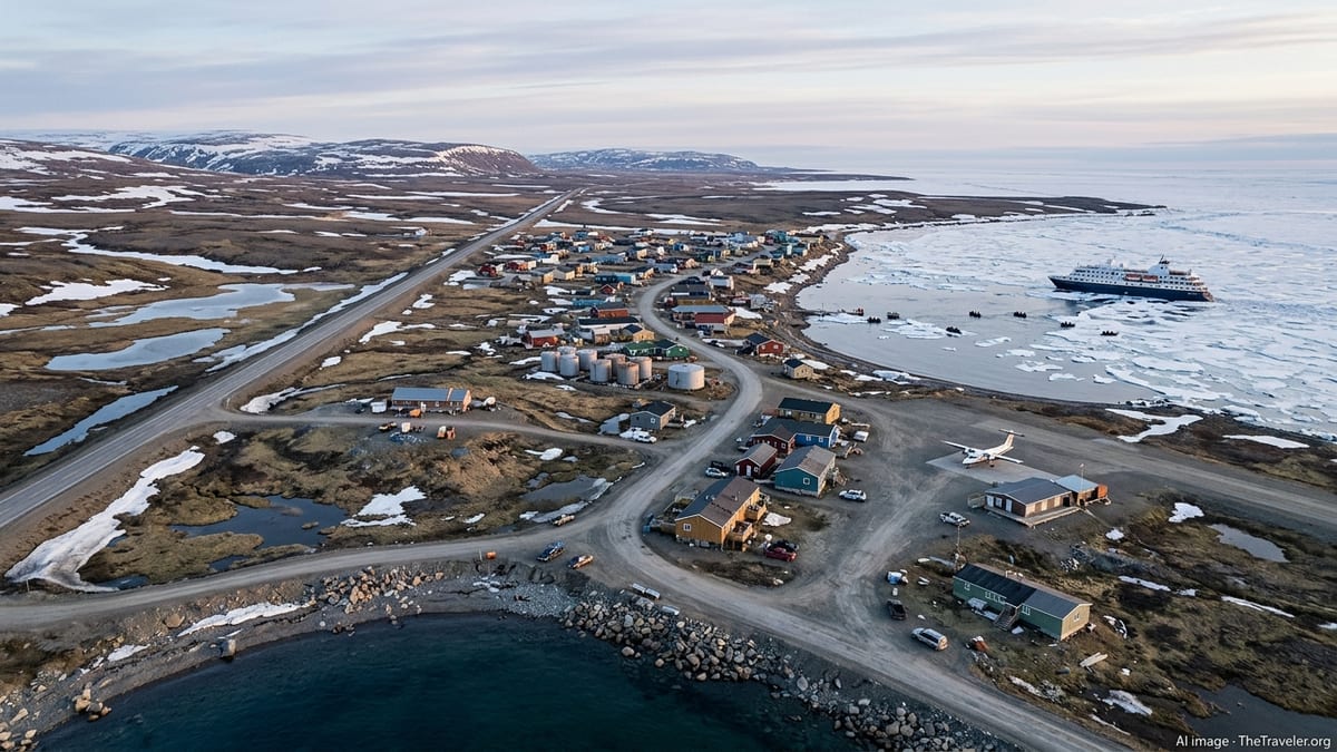
New winter storm warnings along Yukon’s highway network
Environment Canada’s alert system on November 9, 2026 shows yellow-level winter storm warnings in effect for parts of Yukon, including highway-focused forecasts such as the Haines Road corridor between Haines Junction and Pleasant Camp. Publicly available alert bulletins indicate that snow and blowing snow are expected to create hazardous travel, with visibility dropping quickly as conditions worsen.
Recent highway-specific advisories for the Haines Road highlight the potential for rapidly changing conditions, noting that a developing storm is forecast to bring accumulating snow through Monday and into Tuesday. The alerts state that drivers should be prepared for sudden whiteout conditions and slick surfaces that can make stopping distances unpredictable.
According to published coverage from national and regional weather outlets, the storm system affecting northwestern British Columbia and Yukon is tapping cold Arctic air while drawing in Pacific moisture. This combination is contributing to heavy snowfall rates on exposed stretches of road, especially where the route climbs into mountain passes and open plateaus with little shelter from the wind.
Travel information from weather services and mapping tools shows that Haines Junction, a key junction on the Alaska Highway, serves as a gateway for several long-distance routes that can be affected simultaneously when a major storm moves through the region. When alerts are issued for the Haines Road and surrounding forecast areas, drivers may find limited options to reroute without adding hundreds of kilometres to their journeys.
Arctic highway routes face unique exposure to extreme weather
The latest warnings are drawing renewed attention to the Dempster Highway and other northern routes that link Canada’s road network to the Arctic region. Territorial briefing documents describe the Dempster as Canada’s only all-season public road to cross the Arctic Circle, a roughly 740 kilometre unpaved corridor stretching from near Dawson City in Yukon to Inuvik in the Northwest Territories, with further access north to the Arctic Ocean via the Inuvik–Tuktoyaktuk Highway.
Government briefing notes outline how long, exposed stretches of gravel surface and open tundra make these roads highly vulnerable when Arctic air masses collide with moist systems from the Pacific. Sections of the Dempster and neighboring highways can experience strong crosswinds, wind chills well below minus 40 degrees Celsius, and sudden heavy snowfall that meets winter storm criteria within a matter of hours.
Canadian severe weather terminology guidelines explain that winter storm or blizzard alerts in these corridors are tied to specific snowfall and visibility thresholds, which can differ from more southerly regions. For example, federal documentation points out that warning criteria for the Dempster Highway and other northern zones account for higher wind speeds and extended periods of reduced visibility, reflecting the added danger on remote roads with minimal services.
Climate briefings for Alaska and northwestern Canada over the past two winters describe episodes of extreme cold, powerful Arctic high-pressure systems, and repeated freeze–thaw cycles that have triggered multi-day highway closures and infrastructure strain. While each season is different, those summaries show a pattern in which a single storm can close an entire corridor, isolate communities, and complicate freight and fuel deliveries for days.
Road conditions turning quickly hazardous for long-distance travelers
Highway alerts issued for November 8 and 9 emphasize that the current winter storm is capable of transforming driving conditions in a short time frame. Bulletins for the Haines Road region advise that accumulating snow and blowing snow will significantly reduce visibility, particularly in exposed locations south of major junctions and near higher elevation passes.
Publicly available information from weather services and road users notes that heavy-transport traffic on strategic corridors such as the Alaska Highway, Dempster Highway and connecting spurs can intensify the danger once snow begins to accumulate. Strong crosswinds and drifting snow can quickly obscure lane markings and road edges, raising the risk of vehicles leaving the road surface or becoming stranded far from services.
Travel discussions and user reports from recent seasons describe episodes where drivers encountered sudden whiteout conditions only a short distance outside northern communities, even on trips of less than an hour. These accounts underscore how fast an open highway in Yukon or the Northwest Territories can transition from bare pavement to near-zero visibility once a storm front arrives.
In this context, the yellow-coded warnings currently in effect serve as an early signal that conditions are already deteriorating or are expected to worsen rapidly. Federal alert documentation explains that the colour scale, expanded nationally over the past several years, is intended to make it easier for the public to gauge the severity and urgency of a threat at a glance.
Advisories urge careful planning, or postponing nonessential trips
Current guidance from weather and transport information services indicates that anyone planning to drive northern routes during active winter storm warnings should reconsider nonessential travel, particularly at night. Where journeys cannot be postponed, advisory materials recommend monitoring Environment Canada alerts, territorial highway updates and local radio for the latest changes in conditions and potential closures.
Traveller information prepared by northern transport departments highlights the importance of equipping vehicles for deep-winter conditions, including proper winter tires rated for severe snow, functioning block heaters, and emergency supplies sufficient to withstand subzero temperatures for extended periods. The remoteness of many Arctic corridors means that assistance can take considerable time to arrive when conditions deteriorate, especially if multiple vehicles are affected at once.
Recent experience across the region shows that storms capable of triggering yellow warnings can still escalate, producing localized blizzard conditions or extreme cold that meet higher alert levels. In earlier seasons, cold snaps in the Northwest Territories and Yukon have produced wind chills below minus 50 degrees, halting some travel and affecting infrastructure, according to climate briefings and government reports.
For visitors drawn north by winter scenery or the aurora borealis, the current round of alerts provides a timely reminder that Arctic highways operate under a narrow safety margin once winter storms arrive. Publicly available road safety materials emphasize that flexibility, conservative trip planning and a willingness to delay departures are often the most effective ways to avoid the most dangerous conditions on Canada’s Arctic roads.
Seasonal outlook points to more volatility as winter builds
Hydrological and snow survey bulletins for 2025 and early 2026 describe how the recent cold seasons in Yukon have oscillated between unusually warm starts and sudden episodes of extreme cold and heavy snow. One recent bulletin notes that early winter remained relatively mild and dry before “roaring” into December with record-breaking snowfall across parts of southern Yukon, accompanied by a prolonged Arctic high and persistent low temperatures.
Climate assessments for northwest Canada and Alaska similarly report that the 2025–26 winter featured intense cold periods in the Northwest Territories and rapidly shifting patterns in Yukon and northern British Columbia, including freeze–thaw cycles, highway closures and power disruptions. Analysts of these events point to the combined influence of Arctic airmasses and Pacific storm tracks, which can align to produce high-impact conditions on a relatively narrow band of northern highways.
With that recent history in mind, the winter storm warnings now in effect along the Haines Road and other Yukon-related forecast regions are being interpreted by travel commentators and regional observers as an early-season test of how resilient the Arctic highway network will be in the coming months. As additional snowpack builds and temperatures fall further, subsequent storms may have a faster and more disruptive effect on both local and long-distance travel.
Forecast discussions suggest that travellers heading toward Dawson City, Inuvik, Tuktoyaktuk and other Arctic destinations in the weeks ahead may face a pattern of short windows of clear weather punctuated by intense storms and cold snaps. For drivers, that means the current alerts are likely a preview rather than an isolated event, reinforcing the need to monitor conditions closely before committing to Canada’s northern highways as winter takes hold.