


More news on this day
Heavy rain and slow-moving thunderstorms swept across Dallas-Fort Worth and surrounding North Texas counties on Sunday, triggering flash flood warnings, snarling road travel and contributing to delays at one of the nation’s busiest air hubs at the start of the Memorial Day rush.
Get the latest news straight to your inbox!
Flash Flood Warnings Blanket Parts of North Texas
Publicly available weather alerts from the National Weather Service on Sunday, May 24, indicated multiple flash flood warnings across North Texas as storms repeatedly trained over the region. Warnings were issued for western Dallas County, southeastern Tarrant County and neighboring areas as radar estimated several inches of rain falling in a short period.
Coverage from regional outlets described thunderstorms producing intense downpours, hail and gusty winds over communities from Fort Worth and Arlington to suburban cities including Grapevine, Euless and Bedford. In some locations, between 1 and 2 inches of rain had already fallen by late afternoon, with forecasts calling for additional rain that could quickly overwhelm storm drains.
Reports indicated that flash flooding was most likely in low-lying areas, creek crossings and spots with poor drainage, where water could pool rapidly. Residents were urged via broadcast and online alerts to avoid driving through flooded streets and to be prepared for rapidly changing conditions as new cells developed over the metroplex.
By early evening, some warnings were allowed to expire as the heaviest rain shifted east and gradually weakened, but forecasters continued to highlight lingering runoff issues and the possibility of renewed storms into the overnight hours.
Thunderstorms Stall Over Dallas-Fort Worth Metroplex
Storm summaries from local television weather teams and newspaper coverage noted that the severe weather pattern over North Texas on Sunday featured slow-moving thunderstorms forming along a boundary draped near the Interstate 35 corridor. This setup allowed storms to repeatedly pass over the same neighborhoods, a common precursor to flash flooding.
Radar imagery shared through local media showed clusters of cells blossoming west of Fort Worth during the afternoon and then edging east toward Dallas. Some storms produced hail up to about quarter size and wind gusts strong enough to down small limbs, though the primary concern shifted to heavy rain as the evening progressed.
Meteorologists cited saturated ground from recent rounds of rain as an aggravating factor for flooding. With soil moisture already elevated heading into the Memorial Day weekend, even modest additional rainfall was capable of causing creeks, roadside ditches and small urban channels to rise quickly, especially near paved and built-up areas of the Dallas-Fort Worth metroplex.
The unsettled conditions formed part of a broader stormy pattern affecting much of Texas. Forecast discussions indicated that multiple disturbances lifting out of northern Mexico were helping to fuel recurring rounds of showers and thunderstorms across the state through the holiday.
Memorial Day Travel Sees Flight Delays at DFW
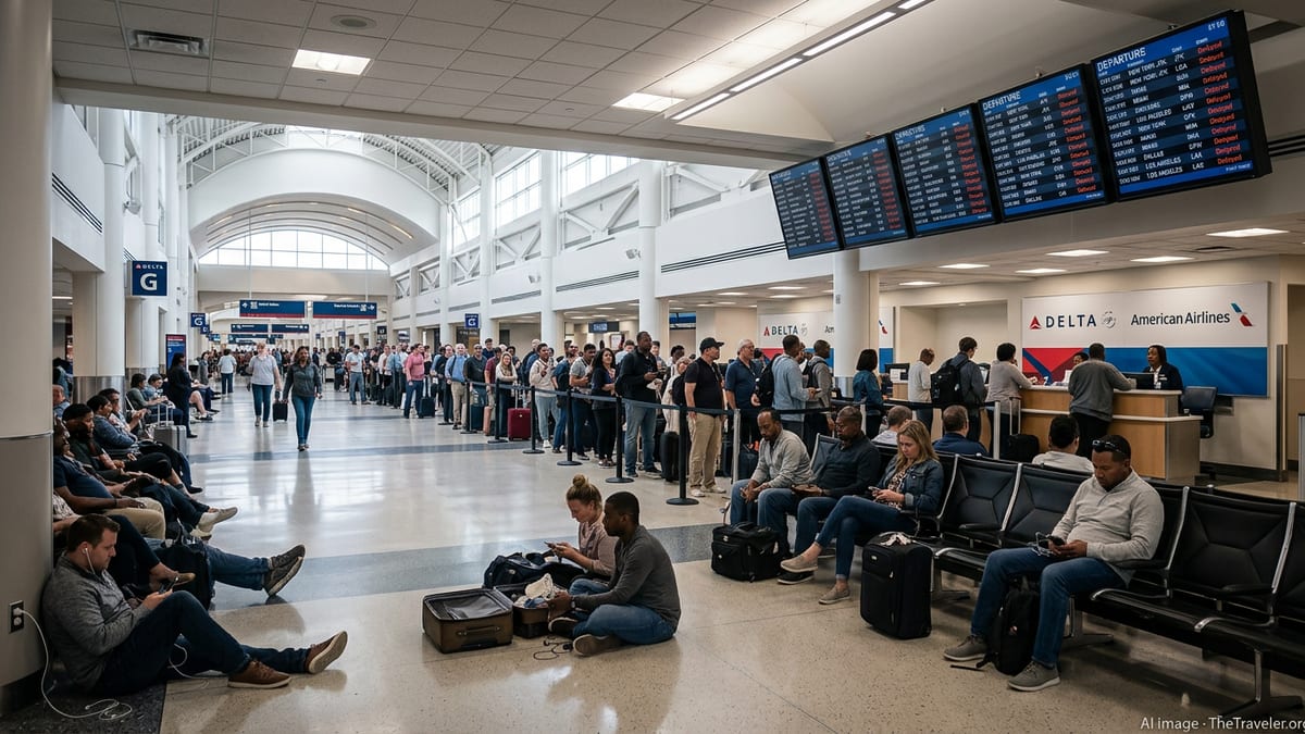
The combination of storms and holiday traffic created a challenging day for air travel. Flight-tracking dashboards and aviation status pages on Sunday showed periods of weather-related delays at Dallas-Fort Worth International Airport, with thunderstorms in the vicinity prompting temporary ground holds and arrival slowdowns during the most active parts of the afternoon.
While official airport status reports later in the evening showed operations returning largely to on-time departures, earlier disruptions rippled through airline schedules. Passengers reported on social media and travel forums that some flights experienced extended waits on the tarmac or at the gate as lightning and heavy rain moved across the airfield.
Dallas Love Field also faced intermittent weather impacts as storms tracked near central Dallas, though the most intense rainfall bands remained focused to the west and northwest for much of the event. Travelers connecting through North Texas on the busy Memorial Day weekend were advised through airline notifications to monitor flight status closely and allow extra time for potential delays.
Industry data for the broader day indicated that Texas accounted for a significant share of nationwide weather-related disruptions, underscoring how sensitive the Dallas-Fort Worth hub can be to convective storms that interfere with arrival and departure corridors.
Hazardous Driving Conditions and Localized Flooding
On the ground, heavy rainfall created hazardous driving conditions on major highways including Interstates 20, 30 and 35 around Dallas-Fort Worth. Traffic cameras and local news visuals showed standing water in underpasses and along frontage roads, along with slow-going traffic where visibility dropped in torrential downpours.
Reports from North Texas communities such as Parker and Tarrant counties described water-covered low-water crossings and minor street flooding as storms peaked late Sunday afternoon and early evening. Law enforcement and emergency bulletins urged drivers to avoid barricaded roads and to seek alternate routes rather than attempting to cross moving water.
Urban flooding risk remained a particular concern in older neighborhoods and commercial districts where drainage infrastructure can be quickly overwhelmed by intense, short-duration rainfall. Past flood assessments for the region have highlighted the vulnerability of parts of north-central Texas to flash flooding when storm systems stall over the same corridor for several hours.
Residents shared images and video clips on social platforms of rapid water rises in creeks and retention ponds, along with lightning illuminating low, turbulent cloud decks over the skyline of Dallas and Fort Worth. While widespread, destructive flooding was not reported as of late Sunday, the event served as another reminder of how quickly conditions can shift during the warm-season storm cycle in North Texas.
More Storms Possible as Holiday Weekend Continues
Looking ahead, forecast discussions available Sunday evening pointed to additional chances for showers and thunderstorms across North Texas into Monday, May 25, as the Memorial Day holiday continues. The broader pattern of moist, unstable air and passing disturbances was expected to keep rain chances elevated, though not every location would see heavy rain at the same time.
Outlooks suggested that temperatures would remain slightly below late May averages because of cloud cover and recurring precipitation, with daytime highs generally in the low to mid 80s. The severe weather threat was described in public forecasts as limited but nonzero, with the main concerns focused on localized flooding from heavy downpours, lightning and pockets of gusty wind or small hail.
Travel and outdoor plans across the Dallas-Fort Worth area may continue to face weather-related adjustments, particularly during peak afternoon and evening storm windows. Event organizers and travelers were encouraged through public information channels to keep multiple ways of receiving weather updates and to be prepared to move indoors quickly if storms approach.
As the warm season deepens, climatological data show that North Texas often experiences clusters of stormy days punctuated by quiet stretches. The flash flood warnings and travel disruptions around Dallas-Fort Worth this Memorial Day weekend fit into that broader pattern, highlighting the importance of real-time information and flexible planning in one of the country’s most weather-sensitive metro areas.