


More news on this day
Thick fog across wide areas of England and Wales has prompted a yellow weather warning and widespread travel alerts, with road, rail and air passengers advised to prepare for slower journeys and potential disruption into Monday morning.
Get the latest news straight to your inbox!
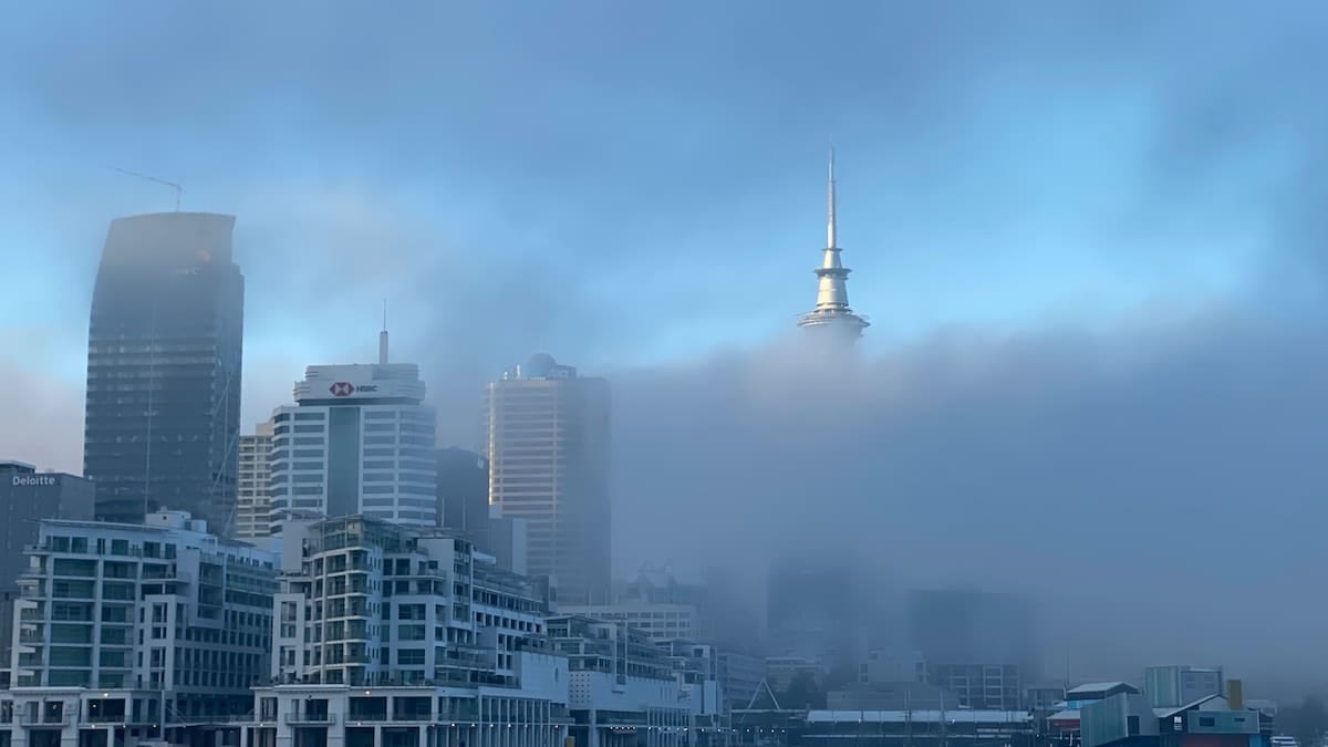
Fog Warning Extends Across Key Transport Corridors
Publicly available information from the Met Office shows that a yellow fog warning is in force from 18:00 on Sunday 8 November until 11:00 on Monday 9 November 2026, covering much of southern and central England along with parts of Wales. The warning area stretches from Yorkshire in the north to the West Country in the south, and includes major population centres in the East Midlands, West Midlands, London and the South East.
The accessible version of the alert lists East Midlands, East of England, London and South East England, North West England, South West England, Wales, West Midlands and Yorkshire and Humber among the affected regions. The service notes that fog patches are forming overnight and into Monday morning, with some locations expected to see visibility drop to around 50 metres or less.
According to published coverage from UK news outlets, the warning follows a night of widespread fog that developed across much of England and north east Wales, with reports of dense patches lingering into Sunday morning. Forecasters indicate that similar conditions are expected to redevelop and become extensive again overnight, increasing the risk of fresh disruption for the Monday commuter period.
Travel-focused guidance on the Met Office warnings page emphasises that when weather warnings are active, conditions and warning boundaries can change at short notice, and travellers are advised to keep checking for updated information specific to their route and timing.
Road Users Urged to Allow Extra Time and Prepare for Low Visibility
The current yellow warning highlights the potential for slower journey times on major and minor roads, particularly where thick fog forms in patches along motorways and A-roads. The official text of the warning notes that dense fog can reduce visibility to less than 100 metres in places, and in some spots to around 50 metres, creating challenging driving conditions.
Met Office travel advice linked from the warning explains that fog can develop quickly and be highly variable, with sudden transitions from clear stretches to near-whiteout conditions. Drivers are encouraged, in that guidance, to check that fog lights are working before setting off, reduce speed, and maintain greater distances from the vehicles ahead when visibility deteriorates.
Rural sections of primary routes across the Midlands, Wales and East Anglia are highlighted in media coverage as areas where fog may be particularly stubborn overnight into Monday, as temperatures drop close to freezing and allow fog to cling to low-lying ground. This pattern raises the likelihood of persistent low visibility for early-morning commuters heading towards larger urban centres.
Public information from national resilience planning documents notes that even yellow-level warnings can have a moderate impact on day-to-day transport, especially where large numbers of people are travelling at the same time, such as the Monday rush hour. Motorists are being encouraged by published guidance to consider delaying non-essential journeys where conditions appear particularly poor.
Rail and Bus Networks Face Slower Services and Local Delays
The Met Office warning explicitly flags a risk of delays to bus and train services, with slower journey times considered possible where drivers and signallers must operate more cautiously in low visibility. While there have been no blanket cancellations reported across national rail services for Monday morning at the time of writing, operators are advising passengers through public channels to check live updates before leaving home.
Fog can affect rail operations in several ways, including reduced sighting distances for signals and lineside signage, and challenges for road-rail interfaces such as level crossings. In published advice for transport planners, UK severe-weather guidance notes that visibility-related warnings may require timetable adjustments or speed restrictions on some routes.
Local bus operators in affected regions commonly respond to similar events by building in additional journey time during the morning peak, and by warning passengers that services travelling through rural sections or exposed valleys may be particularly susceptible to delay. Publicly available information from recent fog events indicates that urban routes can also be impacted where dense patches collect in river corridors or low-lying districts.
Passengers planning early services across the Midlands, South East, South West and Wales are therefore being advised, through operator channels and news reports, to allow extra time to reach stations and stops, and to be prepared for knock-on delays where connections rely on tightly timed transfers.
Air Travel Disruption Possible at Major UK Airports
The yellow warning also cites a chance of delays or cancellations to flights, and published coverage from outlets including Sky News and other UK broadcasters notes that the warning zone includes air corridors serving some of the country’s busiest airports. Low cloud and dense surface fog can significantly reduce visibility on runways and taxiways, leading to spacing out of arrivals and departures or, in some cases, temporary suspensions of movements.
Guidance materials from the Met Office on how weather affects flights explain that aircraft can technically land and take off in low visibility using instrument systems, but airport operations, ground movements and safety procedures often require more generous margins, particularly when conditions are changing rapidly. This can translate into delays even where aircraft remain able to operate.
Previous fog episodes cited in aviation industry briefings have shown that early-morning waves of flights are especially vulnerable, as the coldest part of the night coincides with peak departure and arrival banks. With the current warning in place until 11:00 on Monday, early and mid-morning services from airports within or close to the warning area may experience minor to moderate disruption.
Travellers with bookings on Monday morning are being advised in airline and airport public updates to monitor their flight status regularly and to allow extra time for check-in and security processes, in case reduced ground visibility leads to longer turnaround times for aircraft and airport transport links.
Commuters and Tourists Weigh Options as Conditions Evolve
According to accessible Met Office material, the yellow warning in force for England and Wales carries a high likelihood and a moderate impact rating, placing it mid-range on the national severe weather risk matrix. This level indicates that impacts such as travel delays are more likely than not, even if not all areas within the warning boundary experience the worst conditions.
Public guidance accompanying the warning encourages people to review their travel plans and consider whether journeys can be re-timed to avoid the poorest visibility, particularly in the early morning. For those who need to travel, official advice highlights the importance of planning routes that use well-lit, higher-standard roads where possible, and of checking multiple information sources, such as rail and bus operator updates and airport announcements.
Tourism businesses in affected regions, particularly in rural parts of Wales, the Cotswolds and coastal areas of southern England, are using public-facing channels to alert guests to the conditions and to recommend caution on local roads. Recent experience from comparable fog events, documented in regional media, suggests that some visitors opt to delay check-in or departure times to travel once visibility has begun to improve later in the morning.
With the Met Office repeatedly stressing, through its warnings pages, that weather alerts may be updated as conditions evolve, travellers across England and Wales are being encouraged to stay informed throughout Monday morning. As skies gradually brighten and temperatures rise, forecasters expect fog to thin and clear, but the precise timing will vary from place to place, keeping journey planning a live concern for many road, rail and air users.