


More news on this day
Thick fog and sharply reduced visibility prompted a yellow weather warning across large parts of England on Sunday night and Monday morning, with travelers advised to prepare for slower journeys and possible disruption on key road, rail and air routes.
Get the latest news straight to your inbox!
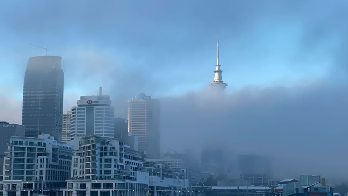
Which Areas Are Affected by the Fog Alert
Publicly available information from the Met Office shows that a yellow warning for fog is in force across much of central and southern England, stretching roughly from Yorkshire and the Humber down through the Midlands to parts of the South East. The alert highlights a broad swathe that includes counties such as Yorkshire, Lincolnshire, Nottinghamshire, Derbyshire, the West Midlands, Oxfordshire, Hertfordshire and areas west of London.
The warning period runs from the evening of Sunday 8 November through late morning on Monday 9 November, with the thickest fog expected overnight and during the early commuter peak. According to the Met Office warning matrix, the combination of poor visibility and peak travel demand raises the risk of disruption, even though the alert level remains at the lower yellow tier.
Coverage from UK broadcasters indicates that many of the worst-affected stretches are inland, away from coastal breezes that can sometimes disperse low cloud. Reports describe fog lingering in river valleys, low-lying plains and around major highway corridors linking cities such as Birmingham, Nottingham, Leicester and London, as well as routes further south toward Bath and the M4 corridor.
By late morning, forecasters expect the fog to lift gradually into low cloud as temperatures rise, but the timing is likely to vary from place to place. Some pockets of dense fog may persist longer in sheltered areas, which could extend minor disruption into the late morning for certain local routes.
Expected Impact on Roads, Rail and Air Travel
The Met Office warning notes that visibility in the thickest patches may fall below 100 metres at times, a threshold that can significantly slow traffic and reduce capacity on busy motorways and A-roads. National guidance on severe weather impacts explains that such conditions increase the risk of minor collisions, sudden braking and congestion as drivers adjust to the reduced sightlines on fast routes.
Transport updates cited in UK news coverage warn that motorists could face longer journey times on key arteries including sections of the M1, M4, M40 and connecting urban ring roads around Birmingham and London. Road operators typically respond to fog with lower advisory speeds and variable message signs reminding drivers to increase following distances and use appropriate lights rather than relying on full beams, which can reflect back in dense moisture.
On the rail network, the yellow fog alert raises the prospect of slower services in affected areas, particularly early-morning commuter trains. While heavy fog does not usually cause widespread cancellations on its own, published guidance on rail operations indicates that signals may be approached more cautiously and some services may build in additional time. As a result, passengers are being urged through public channels to check live departure boards and allow extra time for transfers.
Air travel faces its own set of challenges under dense fog. Coverage citing the latest warning notes that major airports in southern and central England, including London hubs and regional gateways in the Midlands, could experience delays to arrivals and departures if visibility falls below operating minima for certain runways. Airlines may space aircraft more widely on approach and departure, which can slow schedules and trigger knock-on delays across the day even after visibility improves.
How the UK Fog Alert System Works
The current notice is part of the UK’s National Severe Weather Warning Service, which is designed to flag weather conditions that might disrupt daily life or create safety risks. Fog is one of several hazards, alongside wind, rain, ice and snow, that can prompt color-coded alerts when confidence in a disruptive event reaches specific thresholds.
Guidance documents describing the system explain that yellow warnings represent a “be aware” tier, where impacts are possible in a few places but are not expected to be widespread or extreme. In the case of fog, this typically covers slower travel, localized delays to buses and trains, and a risk of flight disruption at one or more airports within the warning area.
Unlike higher amber or rare red alerts, a yellow fog warning does not typically trigger blanket closures or large-scale contingency measures. Instead, it serves as an early signal to operators, local authorities and travelers to prepare for reduced visibility and to adjust plans if necessary. The system is updated as new forecast data becomes available, and warning polygons on official maps can be expanded, reduced or cancelled as conditions evolve.
Recent communication from public agencies stresses the importance of monitoring updates on the morning of travel, because fog can form, thicken or clear quite rapidly within short distances. For example, a motorway junction may remain in clear air while an adjacent valley lies under persistent low cloud, producing very different driving conditions within a few miles.
Advice for Drivers, Commuters and Airline Passengers
Travel and road-safety guidance linked from official channels advises motorists to prepare for the possibility of dense fog by checking lights and wipers before setting out and cleaning windscreens, mirrors and cameras to improve visibility. Drivers are urged to use dipped headlights and front and rear fog lights when conditions are particularly poor, switching them off once visibility improves to avoid dazzling other road users.
Experts also recommend reducing speed, increasing braking distance and avoiding sudden maneuvers such as sharp lane changes, which become more hazardous when other vehicles are difficult to see. In the heaviest fog, guidance suggests using road markings as a reference and avoiding overtaking unless absolutely necessary, as slower traffic or obstacles may only become visible at short range.
Rail passengers are being encouraged through public information services to check operator websites and apps for any timetable changes, platform alterations or short-notice delays linked to the fog. Allowing extra time to change trains, particularly at busy hubs, can reduce the risk of missed connections if services are running a few minutes behind schedule during the early rush hour.
For airline travelers, airports and carriers often publish real-time information about departure boards, security queues and gate changes. During fog alerts, passengers are typically advised to keep a close eye on these channels on the day of travel and to allow additional time for check-in and boarding in case of congestion caused by delayed aircraft movements.
What Travelers Should Watch for in the Coming Days
Forecast discussions from the Met Office in recent days have highlighted a persistent area of high pressure over the UK, a pattern that often brings settled conditions but also favors the development of overnight fog and low cloud, especially in autumn and early winter. With clear skies and light winds at night, surface temperatures can fall quickly, allowing moisture to condense near the ground.
This pattern means that even after the current yellow warning expires late on Monday morning, further episodes of mist and fog remain possible on subsequent nights, particularly across central and southern England. Any new warnings would be issued through the same national system, typically up to several days in advance, and may focus on slightly different regions depending on wind direction and local topography.
Travelers planning journeys over the next few days are therefore advised by public guidance to build flexibility into itineraries where possible, particularly for early-morning flights or long-distance drives. Checking forecasts the evening before departure, and again on the morning of travel, can help travelers decide whether to adjust departure times, choose alternative routes or rebook on later services if disruption appears likely.
For now, the focus remains on navigating Monday’s peak travel period with minimal disruption. With dense fog already reported in several affected counties and the yellow alert in place through late morning, anyone moving through the warning area is being strongly encouraged by publicly available advisories to stay informed, leave extra time and adapt plans in line with the latest forecasts.