


More news on this day
Thick fog across large parts of England and Wales has triggered a yellow weather warning and fresh travel alerts, with road, rail and air passengers warned to expect slower journeys and possible disruption into Monday morning.
Get the latest news straight to your inbox!
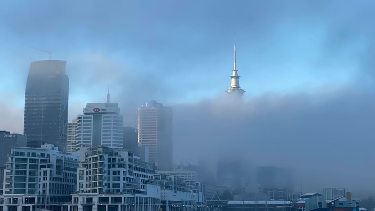
Yellow Fog Warning Covers Much of England and Wales
The Met Office has issued a yellow warning for fog affecting wide areas of England and Wales from the evening of Sunday 8 November through late morning on Monday 9 November 2026. The alert follows the rapid formation of widespread fog overnight, with some patches described in public forecasts as dense and reducing visibility to around 50 metres in places.
The warning area stretches across much of southern and eastern England, the Midlands, parts of north west and south west England, and into north east and north Wales. Published coverage indicates that the zone runs broadly from around York in the north to Bath and the West Country in the south, taking in London, the South East, East Anglia and large parts of central England.
According to publicly available Met Office guidance, yellow alerts indicate a high likelihood of some impact but not the most severe level of disruption. In this case, the risk is focused on transport, with forecasters highlighting the potential for significantly reduced visibility for several hours during peak travel times.
Forecast detail published late on Sunday notes that fog is expected to thin only slowly after dawn, clearing later on Monday morning. Rural areas of the Midlands, Wales and East Anglia are flagged as especially prone to stubborn fog and near-freezing temperatures, creating the possibility of localised air frost as the night progresses.
Road, Rail and Air Travellers Face Disruption
Travel advisories linked to the yellow warning state that slower journey times are likely on key road corridors as drivers encounter thick fog and sharply reduced visibility. Public information emphasises the need for motorists to allow extra time, check that vehicle lights and fog lamps are working and adjust speed to the conditions.
Published coverage from UK broadcasters indicates that National Highways has been highlighting dense fog on stretches of major routes, including sections of the M1, M4 and M25, where speed limits and driving conditions may be affected. Commuters on key approaches into London and Birmingham are being urged to plan for delays where visibility is most restricted.
Rail operators are also warning of potential knock-on effects. While trains generally continue running in fog, signalling issues and speed restrictions in areas of very low visibility can lengthen journey times. Some train companies are advising passengers via their online channels to check journey planners on Monday morning for any short-notice changes.
Air services are particularly sensitive to dense fog, and aviation forecasters note an increased chance of delays or cancellations at airports within or near the warning area. Reports from outlets such as Sky News highlight that services at major hubs including Heathrow, Gatwick, Luton, Stansted, Birmingham and Cardiff could see disruption if visibility falls below operating thresholds during landing and departure waves.
Why Conditions Are Favouring Persistent Fog
Meteorologists describe the current pattern as a combination of light winds, clear skies and moist air near the surface, which together create ideal conditions for radiation fog to form overnight. As heat escapes from the ground after sunset, the near-surface air cools rapidly to its dew point, allowing tiny droplets to condense and form fog.
The Guardian and other outlets report that the Met Office has characterised the set-up as a “perfect recipe” for fog, with high pressure dominating, minimal breeze to disperse the low cloud and long hours of darkness at this time of year. Where the fog becomes thick and widespread, it can be slow to lift because the sun’s energy is partially blocked from reaching the ground.
Forecast detail published by the Met Office notes that the densest fog is likely in rural areas, where surface cooling tends to be stronger than in built-up locations. Low-lying river valleys and basins across the Midlands, eastern England and parts of Wales are singled out as particularly prone to extensive fog banks.
As temperatures dip towards freezing in some of these spots, there is also the potential for air frost on untreated surfaces. While the current alerts are focused on visibility rather than ice, transport planners are monitoring conditions closely in case any localised slippery patches combine with poor visibility to increase risks for early-morning travellers.
What Travellers Should Do Over the Next 24 Hours
Publicly available advice associated with the current warning encourages anyone travelling overnight or on Monday morning to review their plans and stay alert to changing conditions. Drivers are urged to check the latest forecast for their specific route, allow extra time, use dipped headlights and fog lights when visibility is seriously reduced, and avoid sudden braking or sharp manoeuvres.
Bus and coach passengers are advised that services may run at reduced speeds on affected stretches, which can extend journey times or lead to minor timetable changes. Operators are using their usual channels, including social media feeds and live timetables, to flag any disruption as the morning peak develops.
Airline passengers scheduled to depart from or arrive into airports covered by the warning are being told in public guidance to monitor flight status closely and to allow longer for check-in and security in case of schedule adjustments. Some carriers have indicated that aircraft may need to hold, divert or be subject to spacing restrictions if runway visibility falls below specified limits during the foggiest periods.
Travel industry commentators note that, while yellow fog warnings are relatively common in late autumn and winter, their impact can be highly localised. Conditions may vary markedly over short distances, with one stretch of motorway or rail line experiencing dense fog while another nearby remains largely clear.
How Long the Fog Risk Is Expected to Last
Based on the latest Met Office outlook, the current yellow fog warning for much of England and Wales is scheduled to remain in effect until 11 a.m. on Monday 9 November 2026. Forecasts suggest that most areas should see gradual improvement late in the morning as the fog lifts into low cloud or breaks up altogether.
However, public forecasts also indicate that similar weather patterns may persist in the short term, with light winds and relatively clear nights continuing for parts of the week. This raises the prospect of further episodes of overnight and early-morning fog, although any new warnings would be issued separately if needed.
Community resilience guidance produced for the 2026 to 2027 season stresses that even yellow-level fog events can have wide implications for day-to-day travel, particularly where they coincide with busy commuter periods or major events. Travellers in England and Wales are therefore being encouraged to stay informed through official forecast channels and transport updates as the situation evolves.
For now, the focus remains on Monday morning’s peak travel window, when the combination of lingering dense patches, early departures and school runs is expected to place the greatest strain on transport networks across the warning area.