
More news on this day
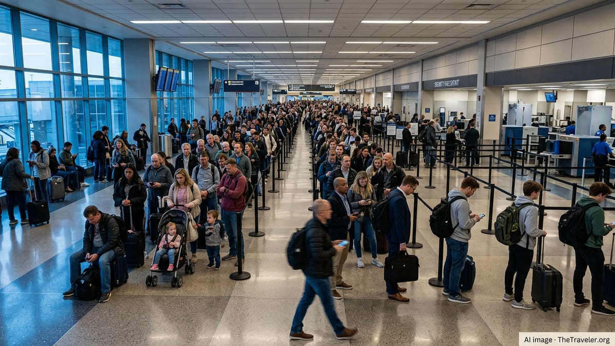
Flights into Denver International Airport faced disruptions after a ground delay program was issued in response to severe storms, tornado warnings and a widespread tornado watch affecting parts of Colorado on Wednesday.
Get the latest news straight to your inbox!
Ground delay program slows arrivals into Denver
According to Federal Aviation Administration advisories and published aviation data, a ground delay program was put in place for Denver International Airport on Wednesday afternoon, limiting the rate of arrivals into the region. Ground delay programs are used when weather or airspace constraints mean that the number of aircraft wanting to land exceeds what the airport can safely handle for a period of time.
The measures meant that flights bound for Denver were held at their departure airports for assigned periods before taking off, instead of departing on schedule and then circling near Denver. Travelers reported departure holds of varying lengths, with airlines warning of knock-on delays through the evening travel window.
Real-time FAA status information later indicated that the most restrictive elements of the program were lifted as storms moved away from the immediate vicinity of the airport, but residual delays continued to affect some arrivals and onward connections. Airlines advised passengers to check their flight status frequently and to allow extra time for rebooking if they were relying on tight connections.
Denver International Airport, one of the busiest hubs in the United States, routinely sees summer weather disruptions. Recent weeks have already brought several rounds of severe thunderstorms, hail and high winds that have triggered temporary ground stops and delays.
Tornado warnings and watches cover parts of northeastern Colorado
The ground delay coincided with an active severe weather period across northeastern Colorado. Publicly available information from the National Weather Service and media outlets shows that tornado warnings were in effect on Wednesday afternoon for Logan, Morgan and Washington counties, northeast of the Denver metro area. A tornado warning signals that a tornado has been indicated by radar or spotted, and that people in the warned area should immediately seek shelter.
In addition to the warnings, a broader tornado watch was issued for a large section of northeastern Colorado, including areas of the Denver urban corridor and the plains to the northeast. The watch window extended into the late evening hours, highlighting the potential for additional rotating storms as the atmosphere remained unstable.
Forecast discussions pointed to a combination of warm, moist air at the surface and stronger winds aloft creating favorable conditions for severe thunderstorms capable of producing large hail, damaging wind gusts and isolated tornadoes. A severe thunderstorm watch overlapped much of the same region, underscoring the multi-hazard nature of the event.
While the most intense tornado risk was focused northeast of downtown Denver, the storm environment covered a broad area, and forecasters urged residents across the Front Range and adjacent plains to stay weather-aware into the night.
Storms track near Denver’s main air corridor
The clusters of thunderstorms that prompted the tornado alerts developed along Colorado’s Front Range and moved east and northeast across the high plains, near some of the primary arrival and departure routes used by Denver International Airport. As storms strengthened, they produced heavy rain, frequent lightning and pockets of hail, according to radar imagery and broadcast meteorological coverage.
Even when the most severe cells remained north or east of the airfield itself, the combination of rapidly changing winds, cloud-to-ground lightning and low visibility at times created an environment where air traffic managers slowed the flow of aircraft for safety. When storms approach from the west or form just east of Denver, flight paths can quickly become constrained, triggering limits on how many aircraft can be sequenced into the airport each hour.
Travelers and aviation observers have noted that Denver’s location on the open plains, away from the city’s core, places the airport closer to some of the strongest convective development during late spring and summer. That geography can leave pilots and controllers managing fast-evolving situations when supercell thunderstorms form near established arrival and departure corridors.
On Wednesday, those factors combined with the evolving tornado threat to create a period of reduced arrival capacity that reverberated through airline schedules during the late afternoon and early evening.
Passengers experience delays and call for flexible plans
As the ground delay program took effect, passengers at airports around the country reported pushback times being revised repeatedly as air traffic control updated expected arrival slots into Denver. For some travelers, the impact was limited to an extra wait at the gate, while others encountered missed connections and the need for overnight accommodations after evening flights pushed later into the night.
Airlines encouraged customers to use mobile apps and kiosks for rebooking, and some carriers issued flexible travel waivers for itineraries involving Denver during the severe weather window. In several recent storms that affected the region, carriers have taken similar steps, allowing passengers to change travel dates without additional fees.
Travel experts often advise that during the late spring and early summer storm season in the central United States, passengers traveling through hub airports on the plains build additional buffer time into itineraries and avoid last-flight-of-the-day connections when possible. The pattern of repeated afternoon thunderstorms in the Denver area this month has reinforced that guidance for many flyers.
Some travelers arriving early in the day on Wednesday avoided the worst of the disruption, while those scheduled to land or depart during the late afternoon and early evening encountered the greatest uncertainty as the tornado watch and active warnings overlapped with the airport’s peak flight periods.
What travelers should know about flying during tornado season
While tornadoes themselves are relatively small compared to the scale of commercial flight paths, the severe storms that can produce them create multiple hazards for aviation. Strong wind shear, rapidly shifting crosswinds, hail and intense downdrafts can all affect takeoff and landing operations, as well as routes into and out of busy hubs like Denver.
Air traffic managers routinely rely on tools such as ground delay programs and temporary ground stops to keep flight volumes in line with what the airspace and runways can safely accommodate during active weather. These measures are designed to keep most holding time on the ground at departure airports rather than in the air near storm cells, which is safer and often more fuel-efficient.
For travelers, that means that severe weather and tornado alerts across Colorado can translate into delays even if no storm is directly overhead at the terminal. Experts recommend monitoring both airline notifications and local weather information for Denver and northeastern Colorado on days when the Storm Prediction Center highlights the region for severe weather.
With the peak of the warm-season storm pattern continuing into July, aviation and weather reports indicate that Denver International Airport and travelers passing through it may see additional episodes of weather-related delays in the weeks ahead, particularly on days with tornado watches and severe thunderstorms in the broader region.