


More news on this day
The Houston area is preparing for another stretch of unsettled weather on Monday, July 13, and Tuesday, July 14, as repeated rounds of showers and thunderstorms raise the risk of heavy rain, localized flooding and travel disruptions across the metro region and surrounding counties.
Get the latest news straight to your inbox!
Stormy Pattern Locks In Over Southeast Texas
Forecast guidance from the National Weather Service and regional outlets shows a slow moving disturbance keeping Southeast Texas in a stormy pattern through at least midweek. Moist air from the Gulf of Mexico is combining with upper level energy to generate widespread showers and thunderstorms across the Houston area on Monday, with additional activity likely on Tuesday.
Text forecasts for Houston Intercontinental Airport describe showers and thunderstorms likely for much of Monday, with periods of heavier rain possible from late morning through the evening. Similar conditions are expected across the broader metro area, including Harris and surrounding counties, with scattered to numerous storms lingering into the night.
Regional coverage indicates that this is part of a broader heavy rain corridor extending across portions of central and coastal Texas. Weather outlooks from national forecast centers highlight Southeast Texas, including the Houston and Galveston region, for an elevated chance of excessive rainfall from Monday into Tuesday.
Computer models suggest that while not every neighborhood will see the same totals, repeated thunderstorms passing over the same locations could quickly push rainfall above typical daily amounts. That setup increases the potential for localized flooding in low lying spots and areas with poor drainage.
Heavy Rain and Local Flooding Among Primary Concerns
Published coverage from Houston based meteorologists points to heavy downpours and street flooding as the main hazards early this week. Radar and forecast discussions on Monday show clusters of thunderstorms capable of producing torrential rainfall, especially during the afternoon and evening peak heating hours.
Outlooks from the Weather Prediction Center place much of Southeast Texas under a mid level risk for excessive rainfall, indicating at least a modest chance that flash flooding could develop where storms repeatedly track over the same corridors. Local news reports emphasize that under these conditions, water can collect quickly on roads, viaducts and feeder lanes.
Travelers and commuters can expect visibility to drop sharply in heavier cores, with ponding on roadways and potential lane closures where drainage is slower. In past events with similar setups, travel times around the Houston loop system and major arteries such as Interstate 10 and Interstate 45 have increased significantly during peak rainfall windows.
Hydrologic reports show area bayous and creeks running within banks at the start of the week, but forecasters note that rapid rises are possible in smaller urban waterways if multiple storms pass over the same basin. Any such responses would depend on the precise placement and intensity of the heaviest rain bands.
Timing the Worst of Monday and Tuesday Storms
Forecast timelines compiled by regional newspapers and television stations indicate that Monday’s most active period is expected between late morning and early evening. Storm chances increase by midday as daytime heating intensifies the existing instability, with widespread showers and thunderstorms likely to move across the metro through the afternoon.
Evening updates suggest that additional storms may persist after sunset, though coverage could gradually become more scattered overnight into early Tuesday. By Tuesday morning, lingering showers and a few thunderstorms are anticipated, with renewed development possible later in the day as the moist, unstable air mass remains in place.
Outlooks for Tuesday highlight another day with intervals of heavy rain, though the exact placement of the most intense downpours remains uncertain. Some guidance suggests the heaviest activity could shift slightly south and east of central Houston toward coastal counties, while other scenarios keep robust storms near the urban core.
Because of these uncertainties, forecasters advise close attention to short term radar and updated forecasts throughout both days. The overall pattern points to multiple windows of unsettled weather, rather than a single organized line of storms moving through quickly.
Travel, Flight and Outdoor Impacts Across the Region
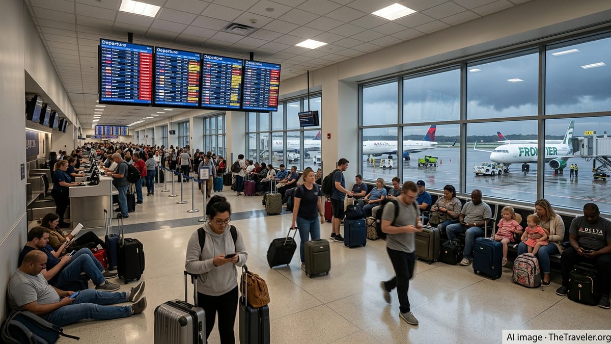
The unsettled early week forecast has implications for road, air and outdoor travel in and around Houston. Aviation forecasts for major hubs in the area indicate periods of reduced visibility, low clouds and thunderstorm related disruptions that could lead to delays or rerouting during the busiest storm periods.
On the ground, drivers across Harris, Fort Bend, Montgomery and neighboring counties may encounter water covered lanes on frontage roads, underpasses and residential streets where drainage is slower. Publicly available safety guidance for Southeast Texas stresses that even shallow water can hide hazards such as deep potholes or displaced manhole covers.
For those with outdoor plans, including visits to popular attractions, parks or nearby coastal destinations, planners may need to adjust schedules around the most active storm windows. Short bursts of intense rain and lightning can develop quickly, turning otherwise routine outings into hazardous situations, particularly near open fields, playgrounds and waterfronts.
Event organizers and venue operators often monitor these patterns closely, as lightning and heavy rain can prompt temporary pauses, sheltering operations or changes in programming. Visitors are encouraged by regional preparedness materials to stay aware of weather updates when moving between locations or planning time sensitive activities.
Preparedness Tips for Visitors and Residents
Travel and safety agencies serving Southeast Texas regularly publish guidance for navigating stormy periods in urban areas like Houston. Common recommendations include allowing extra time for commutes, checking the latest forecast before setting out and monitoring real time radar from trusted outlets when storms are in the area.
Residents and visitors are often advised to avoid attempting to drive through water covered roadways, to park vehicles away from known flood prone spots and to secure outdoor items that could be affected by gusty winds or brief strong storms. In hotel districts and near major activity centers, covered parking and elevated garages can offer additional protection from rising water on surrounding streets.
For travelers passing through the city, airline and airport information pages may provide updates about weather related schedule changes or gate adjustments. Keeping mobile devices charged and enabling notifications from reliable forecast providers can help visitors adapt plans as conditions evolve through Monday and Tuesday.
Looking beyond midweek, extended outlooks hint at a gradual decrease in storm coverage but suggest that humidity and periodic showers may linger. For now, the focus across the Houston area remains on managing the immediate rounds of rain and storms expected to affect the city at the start of the week.