


More news on this day
Passengers travelling through Isle of Man Airport are being advised to prepare for possible delays on Tuesday, 22 September 2026, as low cloud and fog around Ronaldsway threaten to disrupt flights during the late morning and afternoon peak.
Get the latest news straight to your inbox!
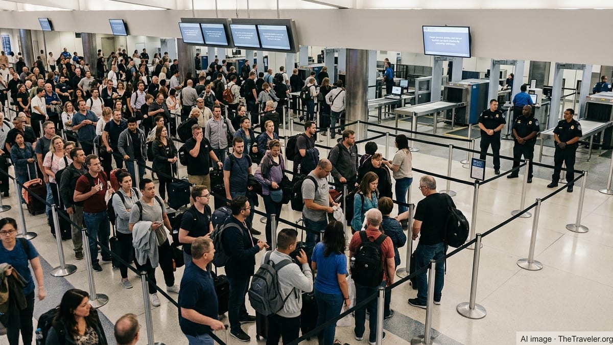
Forecast points to reduced visibility through mid-afternoon
Publicly available updates from Isle of Man media on 22 September report that low cloud is expected to sit over the airport for much of the day, with visibility fluctuating as fog patches form and lift. Forecasts referenced in local coverage indicate that the most challenging conditions are likely through the late morning and early afternoon, a period when several key regional departures are scheduled.
According to reports from outlets including Manx Radio and Isle of Man Today, the low cloud base is forecast to improve later in the afternoon, with indications that conditions could lift around 3 pm. Until then, aircraft movements may be affected as pilots and air traffic controllers work within stricter visual and instrument approach limits.
As of around 8:30 am on Tuesday, arrivals into Ronaldsway were still listed as on time, while at least one morning departure, a Loganair service to Birmingham, was showing a delay. Local coverage stresses that this status remains subject to rapid change if cloud thickens or visibility deteriorates further.
The current warning follows a period of wider disruption in UK and Irish airspace on Monday, when a separate technical issue affecting air traffic control led to delays and schedule changes at a number of airports. The latest alerts for Isle of Man Airport, however, relate specifically to weather conditions rather than system problems.
How low cloud disrupts operations at Ronaldsway
Isle of Man Airport at Ronaldsway, near Ballasalla in the south of the island, is equipped with instrument landing procedures that allow aircraft to operate in reduced visibility. Even so, when cloud drops close to runway level or fog thickens, operators may need to slow the rate of landings and takeoffs, extend separation between aircraft, or temporarily hold flights until conditions improve.
Low cloud and fog can affect both arrivals and departures. Aircraft attempting to land require sufficient vertical and horizontal visibility to complete an approach safely, while departing flights must meet set visibility thresholds to taxi and take off. If conditions fall below the limits specified in individual airline and aircraft operating rules, flights can face delays, diversions to alternative airports, or cancellations.
Met Office aviation guidance for UK and Crown Dependency airfields highlights low cloud and poor visibility as key hazards for low-level operations, and Ronaldsway is included among the airports for which dedicated forecasts and verification reports are produced. Historical airfield climate data show that low cloud events are a recurring feature across the British Isles, particularly in the cooler months, and can trigger Low Visibility Procedures when cloud base or visibility falls below defined thresholds.
On days like 22 September, when low-level significant weather charts highlight areas of cloud and fog across northern England, the Irish Sea and the Isle of Man, operational restrictions at multiple airports can interact. This can complicate schedules for carriers linking Ronaldsway with hubs such as Manchester, Liverpool and Birmingham, where connecting flights and crew rotations depend on timely arrivals from the island.
Impact on regional routes and typical travel patterns
Isle of Man Airport handles a network of short-haul services to major UK regional centers, with routes to Manchester, Liverpool, Birmingham and London among the most heavily used. Many of these flights serve business travellers and island residents connecting onto longer-haul services, which means disruption on relatively short sectors can cascade into missed onward connections.
When low cloud reduces capacity, airlines often prioritise maintaining at least a core pattern of flights on key routes, even if individual services operate later than scheduled. This can involve holding aircraft on the ground at departure airports until conditions at Ronaldsway are assessed as suitable for an approach, or extending turnaround times on the island while crews wait for improvement in visibility.
Publicly available flight-tracking data for Isle of Man Airport show that, under normal conditions, early and mid-morning departures toward UK cities set the tone for the rest of the day’s operations. If low cloud affects this initial wave, subsequent rotations may run behind schedule, even after weather conditions begin to ease.
Local media coverage notes that visibility-related disruptions are not unique to the Isle of Man, with other UK and Irish airports also facing constraints when fog settles. However, the island’s reliance on air links for both business and leisure travel means that even modest weather-related delays can be keenly felt by residents and visitors alike.
Advice for passengers flying during the low cloud episode
In light of the low cloud forecast, Isle of Man Airport’s public updates and local news reports are urging passengers to monitor their flights closely on 22 September. Travellers are advised to check the latest status of their specific service directly with their airline before setting out for the airport, as online timetables and departure boards can change at short notice when visibility fluctuates.
Passengers already en route or at the terminal may find that boarding, pushback and departure are briefly paused if conditions deteriorate just as a flight is due to leave. In some cases, aircraft may depart later than scheduled but still arrive in time to preserve onward connections, particularly on shorter sectors to north-west England or the Midlands.
Travellers with tight connections on mainland services or time-sensitive plans are encouraged by published guidance from airlines and travel providers to allow extra margin in their itineraries on days when poor visibility is forecast. This can mean opting for an earlier flight where available or contacting their airline to discuss rebooking options if significant delays emerge.
For those planning future trips, publicly available aviation training resources from the Met Office highlight the value of checking low-level significant weather charts and local forecasts as part of pre-travel planning. While forecasts are subject to change, they can give an early indication of days when weather issues such as low cloud are more likely to affect operations at airports like Ronaldsway.
Wider context of weather-related disruption in late September
The warning at Isle of Man Airport comes during a broader spell of unsettled weather across parts of the UK and Ireland in late September 2026. Aviation updates in recent days have pointed to periods of low cloud, fog and reduced visibility at several airports, prompting temporary slowdowns in air traffic flows.
Reports from UK air traffic and weather briefings describe a pattern where early morning fog and low stratus layers form over coastal and low-lying areas, including around the Irish Sea, before gradually lifting as daytime heating increases. On 22 September, forecasts indicate that Ronaldsway is likely to follow this pattern, with conditions improving later in the afternoon.
While such episodes are not unusual for the time of year, they underline the sensitivity of regional air travel to relatively small changes in cloud base and visibility. For the Isle of Man, where air links play a central role in connecting the island to the wider region, clear, timely communication of weather-related risks helps passengers make informed decisions about their journeys.
For now, publicly available information shows that the situation at Ronaldsway on 22 September remains fluid. If the anticipated lifting of low cloud occurs around mid-afternoon, disruption could be limited primarily to delays and minor schedule adjustments. If conditions persist longer than forecast, more extensive knock-on effects across the island’s core routes may yet emerge as the day progresses.