


More news on this day
Southern Europe has entered the height of a dangerous fire season, with new satellite imagery and national risk maps showing clusters of active wildfires from Portugal’s Atlantic coast to the hills of northern Greece.
Get the latest news straight to your inbox!
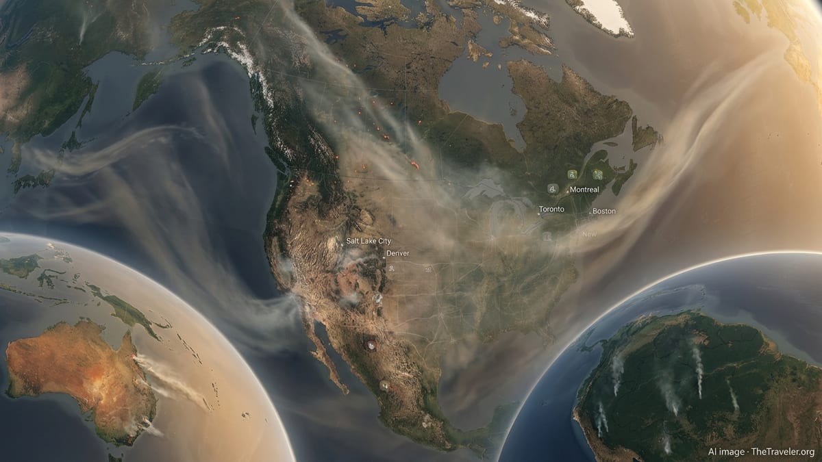
Hotspots from Portugal to Greece
Recent fire-mapping from European satellite services and national civil protection agencies shows a broad arc of wildfire activity stretching across Portugal, Spain, southern France and Greece. Multiple large blazes are burning simultaneously, and thousands of smaller ignition points have been detected in recent days.
In Portugal, one of the most persistent fires is centred in the north of the country, where crews have been battling a blaze for several days in rugged terrain. Imagery from the Copernicus Earth observation programme shows dense smoke plumes blowing westward over the Atlantic as flames advance through forest and scrubland.
Across the border in Spain, national fire dashboards highlight active fronts in Andalusia and other southern regions, where high temperatures and gusty winds have pushed several outbreaks close to roads, rural hotels and popular hiking areas. Emergency bulletins describe repeated evacuations of local residents and visitors as fire lines shift with changing winds.
Further east, a belt of fire stretches through parts of southern France and into Greece. In the foothills of the Pyrenees, a major blaze has scorched thousands of hectares of vegetation and prompted large-scale evacuations in rural communities. On the other side of the Mediterranean, Greek fire maps indicate intense activity both around Thessaloniki in the north and in forested areas west of Athens.
Portugal and Spain: Atlantic smoke and a parched interior
Portugal’s current fire cluster is concentrated in the central and northern districts, where steep hillsides and dense pine and eucalyptus stands have created difficult conditions for ground crews. Reports from national media describe hundreds of firefighters deployed with support from water-bombing aircraft, as emergency planners monitor wind shifts that could carry flames toward nearby villages.
Satellite-based fire products show not only the active perimeters but also the extent of smoke and heat emissions. The latest overpasses indicate smoke columns rising high into the atmosphere and drifting over the ocean, a pattern that can affect air quality far beyond the immediate burn zone.
In Spain, the national environment ministry’s data, combined with the European Forest Fire Information System, indicates that tens of thousands of hectares have already burned since the start of 2026, with several fires currently active or under close surveillance. A recent blaze on the edge of a natural park in Andalusia forced the evacuation of hotel guests and residents, underlining how quickly fire can reach areas that depend heavily on summer tourism.
Fire risk bulletins classify much of southern and western Spain at high or very high danger levels, reflecting a prolonged spell of hot, dry weather. Local authorities have reinforced bans on agricultural burning and tightened access to some forest tracks, but new ignitions continue to be recorded each day.
France and Greece: Evacuations, toxic smoke and closed roads
In southern France, the focus is on a fast-moving wildfire in the foothills of the Pyrenees near the Spanish border. French press reports describe more than 700 firefighters deployed against a blaze that has burned several thousand hectares and forced the evacuation of many thousands of people from villages and campsites.
The fire’s proximity to key transport routes has led to temporary road closures and detours, while a section of the Tour de France route in the wider region has been closed to spectators as a precaution. Race organizers and local officials have cited both smoke and the need to keep access open for emergency services as reasons for the restrictions.
Greece is facing multiple fronts at once. Around Thessaloniki, a wildfire that spread from scrubland into industrial areas over the weekend engulfed factories, including a recycling plant, sending thick, dark smoke across nearby suburbs. Public announcements urged residents in affected districts to stay indoors and keep windows closed because of concerns about toxic fumes from burning waste.
West of Athens, a separate large fire in pine forests near Mandra has mobilised hundreds of firefighters, volunteers and aircraft. Greek media outlets report repeat evacuation alerts for small communities as crews work to halt the fire before nightfall, when aerial operations are more limited and containment relies on ground lines and firebreaks.
Tourism under pressure at the peak of summer
The current pattern of wildfires coincides with the start of the main holiday season, raising questions for travellers and for regions that depend heavily on summer visitors. Some of the active fires are close to coastlines, nature reserves and rural accommodation popular with international tourists, although many of the worst-affected zones remain inland.
Travel advisories stress that most urban centres and major resort areas in Portugal, Spain, France and Greece are operating normally, but they also encourage visitors to check national fire maps and local alerts before travelling to rural or mountainous areas. In some regions, hiking trails, campgrounds and forest access roads have been temporarily closed or restricted.
Tourism businesses are attempting to balance safety and continuity. Hotel operators in parts of Andalusia and northern Greece have moved guests away from smoky areas or arranged alternative accommodation when evacuations became necessary. In French and Portuguese destinations close to active fronts, local tourism boards have emphasized that conditions can vary sharply over short distances, with blue skies on one side of a region and heavy smoke on the other.
For travellers already in southern Europe, the key advice from public information channels is to monitor official alert systems, follow instructions from local emergency services when they are issued, and avoid activities that could increase ignition risk, such as barbecues or off-road driving in very dry areas.
A “new normal” for Europe’s fire season
The clustering of fires across four countries at the very start of July reflects what scientists and risk analysts have described as a “new normal” for the Mediterranean climate. Research published in recent years links hotter, longer summers and more frequent heatwaves to an increased likelihood of large and fast-spreading wildfires.
European Union institutions have responded by strengthening cross-border cooperation and shared resources. A new recommendation adopted by the Council at the end of June calls for integrated wildfire risk management, including more prevention work, early detection systems and common standards for evacuation planning.
On the ground, this year’s response in Portugal, Spain, France and Greece already involves assets from the EU’s shared firefighting fleet, including water-bombing aircraft repositioned ahead of the peak season. Satellite-based monitoring from programmes such as Copernicus now feeds into daily risk assessments that help officials anticipate pressure points and decide where to pre-position crews and equipment.
Despite those measures, recent days have shown how quickly conditions can escalate when extreme heat, dry vegetation and strong winds coincide. With much of the summer still ahead, fire services and local communities across southern Europe are preparing for more weeks of intense vigilance as they watch the maps of active wildfires update in near real time.