
More news on this day
June 2026 has delivered a sharp reminder of how closely North American travel now tracks extreme weather, as a punishing heat dome over the United States, severe storms across key aviation hubs and early-season tropical activity linked to Tropical Storm Arthur combine to disrupt itineraries and reshape regional demand from Mexico to Canada and Belize.
Get the latest news straight to your inbox!
United States Endures Heat Dome and Severe Storm Pattern
The United States is carrying much of the meteorological burden in late June, with a powerful heat dome gripping the central and eastern regions while a ring of severe storms arcs around its edges. Public forecasts indicate that more than half of the U.S. population faces at least one day of dangerous heat as temperatures push toward or beyond 100 degrees Fahrenheit in multiple states and humidity sends heat indices even higher.
Major cities in the Midwest, Mid-Atlantic and Northeast are preparing for several consecutive days of hot, humid conditions with limited overnight cooling. Analysis from national forecasters shows that hundreds of daily records could be challenged or broken as the heat wave intensifies heading into the first days of July. For travelers, that combination is already fueling demand for last-minute itinerary changes, particularly for those heading to outdoor events or long road trips.
The same high-pressure system is also energizing the storm track around its northern and eastern edges, leading to repeated rounds of intense thunderstorms from the Plains through the Great Lakes and into parts of the Northeast. Forecast discussions describe a classic “ring of fire” setup, with clusters of storms capable of producing damaging winds and localized flooding. These storms have proved especially disruptive for air travel, forcing ground stops, diversions and extended delays at busy hub airports.
Reports from aviation trackers and industry publications in mid June documented thousands of delays and several hundred cancellations across the United States in a single day as storms collided with already busy summer schedules. Those patterns have continued into late June as unstable air masses persist over some of the country’s most heavily used flight corridors.
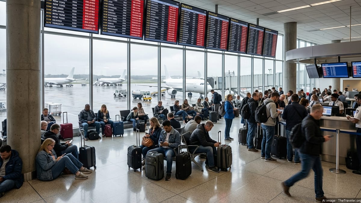
Storm-Linked Travel Disruptions Ripple Through U.S. Hubs
Air travelers have borne the immediate brunt of June’s volatility. Data compiled by travel industry outlets show that large domestic carriers have struggled to maintain schedules as severe weather clusters repeatedly target hubs in Texas, the Midwest and the East Coast. A notable early June episode saw more than 380 flights canceled and over 6,000 delayed in a single day, with operations snarled from Dallas and Houston to smaller regional fields.
Subsequent weeks have brought additional disruption as thunderstorms, high winds and low visibility periodically shut down arrival and departure banks at major airports. Publicly available information from airline waiver programs indicates that carriers have issued weather-related change flexibility for travelers connecting through Chicago, Houston and multiple East Coast cities at different points in June, signaling expectations of recurring instability.
On the ground, the same pattern has complicated long-distance road trips, particularly across the central states where forecasters warn of rapidly evolving conditions. Strong outflow winds, torrential rain and large hail in some storms have created hazardous driving windows along interstate corridors, with authorities in affected states urging motorists to monitor real-time radar and advisories before setting out.
Rail travel has also seen localized interruptions where flash flooding or debris temporarily affect tracks. While these impacts have remained more limited than the aviation disruptions, rail operators are facing increased pressure to adapt schedules and communications as passengers seek alternatives to flying during storm-prone periods.
Mexico, Canada and Belize See Indirect but Notable Impacts
Beyond U.S. borders, June 2026 weather has had a more mixed effect on Mexico, Canada and Belize. According to published coverage, Tropical Storm Arthur has drawn particular scrutiny from regional observers as it developed over the western Atlantic, steering bands of rain and rough seas that influenced marine and cruise operations without delivering uniform impact across mainland destinations.
In Mexico, the month began with a series of tropical waves and a period of heavy rainfall affecting several states, following earlier activity in the eastern Pacific that produced Tropical Storm Boris off the Guerrero coast. National meteorological maps released at the start of June highlighted intense rain bands and elevated cyclone probabilities, especially along coastal zones. These conditions have occasionally forced temporary port adjustments and localized flight delays, although the bulk of June’s aviation turmoil has remained north of the border.
Canada is contending with its own extreme conditions as very hot air lifts northward from the central United States. Forecasts from Canadian media indicate that a broad swath of southern provinces, including parts of Ontario and Quebec, faces high-impact heat alerts, with daytime temperatures in the low to mid 30s Celsius and warm overnight lows. For travelers, this has shifted interest toward cooler coastal or mountain regions while raising concerns about wildfire smoke and air quality later in the season.
Belize, which sits closer to early-season tropical development zones, has so far experienced more limited direct disruption from June systems. Travel advisors monitoring regional conditions note that the country has remained largely outside the most intense rain and wind fields tied to Arthur and other disturbances. Even so, operators continue to watch the western Caribbean and Gulf of Mexico closely as ocean temperatures climb and the Atlantic hurricane season moves into its more active months.
Storm Arthur Highlights Uneven Regional Exposure
Tropical Storm Arthur has emerged as a focal point for understanding how unevenly June 2026 weather has affected North American travel. Coverage from travel and tourism media describes the United States as bearing the brunt of the storm’s broader pattern, with extensive rainfall, localized flooding and coastal hazards along portions of the Eastern Seaboard. In some communities, streets briefly vanished beneath floodwater as drainage systems struggled to keep pace with intense downpours.
While Arthur’s core impacts remained concentrated near the U.S. coastline, neighboring countries experienced only modest or indirect disruption. Canadian destinations registered heightened marine advisories and rough surf in a few Atlantic-facing locations, while parts of Mexico and Belize tracked the system mainly as a remote influence on broader regional weather. This divergence has reinforced the perception that early-season tropical events can heavily disrupt U.S. transport infrastructure without producing parallel effects across the continent.
Travel companies and tourism boards are nonetheless using Arthur as a case study for preparedness. Publicly accessible planning documents and advisories emphasize flexible booking policies, diversified routings and clearer messaging around weather-related changes for cross-border itineraries. For travelers moving between the United States and nearby beach destinations in Mexico, Belize and the Caribbean, these measures are increasingly seen as essential safeguards rather than optional extras.
Industry analysts point out that the uneven footprint of Arthur-style systems can also generate short-term demand shifts. When U.S. coastal areas confront flooding risk or days of unsettled weather, some visitors pivot toward inland cities or to nearby countries that remain outside the main impact zone, redistributing tourism revenue across the region.
Climate Signals and the Future of North American Travel
June 2026 fits within a broader sequence of unusual and costly North American weather events in recent years, including the January to February 2026 cold wave and the powerful March 2026 blizzard that crippled parts of the United States and southern Canada. Regional assessments from climate and disaster agencies highlight a growing likelihood of overlapping hazards, from extreme heat and wildfire smoke to flooding and severe storms, all affecting transportation systems.
Seasonal outlooks issued for mid 2026 already anticipated above normal temperatures across large portions of North America, with variable precipitation patterns and elevated fire risk in some western and central zones. The reality unfolding at the end of June reflects many of those projections, with heat alerts in both the United States and Canada, a busy pattern of convective storms and early stirrings in the Atlantic and eastern Pacific basins.
For travelers, the practical effect is an environment where flexibility and situational awareness are becoming core elements of trip planning. Airlines and tour operators are nudging customers toward longer connection times, real-time alert apps and contingency routing, while travel insurers report rising interest in products that explicitly cover weather-related disruption. These trends are particularly visible in North American corridors that link U.S. hubs with popular Mexican resorts, Canadian cities and Belize’s coastal destinations.
As the 2026 hurricane season advances, observers expect the lessons from June’s heat dome, Arthur’s uneven impact and the month’s severe storm outbreaks to inform a more adaptive approach to summer and autumn travel. The United States may continue to absorb a disproportionate share of the disruption, but the interconnected nature of North American tourism means that Mexico, Canada and Belize will remain closely attuned to every shift in the region’s evolving weather map.