


More news on this day
Severe thunderstorms and reported turbulence around Denver International Airport led to at least 22 flights diverting to Colorado Springs on Tuesday, disrupting travel plans across multiple airlines and underscoring the weather-related vulnerabilities of one of the country’s busiest mountain gateway airports.
Get the latest news straight to your inbox!
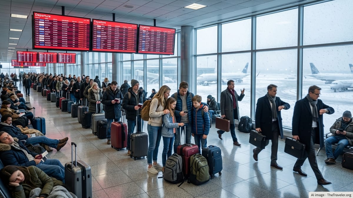
Storm Cell Stalls Arrivals Into Denver
Publicly available flight-tracking data and social media posts from passengers indicate that a fast-building line of afternoon thunderstorms developed over the Denver metropolitan area, prompting significant arrival constraints at Denver International Airport. As the storms intensified, aircraft already en route to Denver began holding patterns before many were rerouted to alternate airports.
Colorado Springs Airport, located roughly 70 miles south of Denver, emerged as the primary diversion field. At one point, aviation enthusiasts monitoring live radar feeds counted at least 22 diverted flights on the ground in Colorado Springs, ranging from regional jets to widebody aircraft. The clustering of arrivals was consistent with a temporary ground stop or sharply reduced arrival rates at Denver due to lightning, wind shear, and heavy rain in the vicinity.
Published coverage and passenger accounts describe flights breaking off approaches into Denver after encountering unstable air and then setting course for Colorado Springs to refuel and wait out the storms. The pattern mirrors previous severe-weather afternoons on the Front Range, when rapid changes in wind direction and gust intensity can quickly push Denver’s airfield operations to their limits.
Meteorological data for the region showed strong outflow boundaries and rapidly rising convective indices during the period when the diversions occurred. These conditions typically generate sharp vertical wind changes, heavy precipitation, and the potential for microbursts, prompting air-traffic managers to reduce traffic volumes into affected airports.
Turbulence Reports Add to Passenger Anxiety
Alongside the diversions, numerous passengers described rough air on approaches and departures near Denver, with some referring to the flights as among the bumpiest they had experienced. While there were no immediate reports of serious injuries linked directly to these diversions, the accounts reflect the kind of moderate to occasionally severe turbulence that is common when strong storms interact with the complex terrain along Colorado’s Front Range.
Aviation safety studies have long noted that airports near mountainous regions, including Denver and Colorado Springs, can experience pronounced mountain-wave activity and wind shear, particularly when strong upper-level winds cross the Rockies. When convective storms are layered on top of this already complex airflow, aircraft can encounter rapid altitude changes and abrupt jolts, even when skies appear relatively clear in parts of the approach corridor.
According to publicly available National Weather Service products and prior Federal Aviation Administration guidance, pilots in this region routinely monitor for low-level wind shear alerts and turbulence advisories during the warm season. On days when powerful thunderstorm outflows sweep across the plains, the risk of uncomfortable rides and go-arounds increases, sometimes forcing flight crews to request alternate routings or different altitudes to avoid the worst of the choppy air.
For travelers, the combination of turbulence, diversions, and extended time on board can heighten stress, especially when cabin announcements remain limited while flight crews manage changing instructions from air traffic control. The latest episode once again highlights how quickly summer weather on the Front Range can turn an otherwise routine arrival into a lengthy and unsettling experience.
Colorado Springs Becomes Overflow Hub
The influx of diverted aircraft placed unusual pressure on Colorado Springs Airport, which normally handles far fewer mainline jets than Denver. Reports from the ground described busy ramps, overflow parking positions in use, and passengers waiting onboard as airlines worked through updated slot times for arrivals back into Denver.
Because diversions are typically unplanned, airport and airline teams must coordinate rapidly to secure gates, ground crews, and fuel trucks for aircraft that may not ordinarily visit the airport at that hour. Travelers on several flights reported extended waits on the tarmac in Colorado Springs while crews negotiated new flight plans and confirmed when Denver’s weather and traffic load would allow their return.
Airline operations centers also face logistical challenges during such events. Crew duty-time limits, aircraft maintenance windows, and tight connection banks in Denver can all be disrupted when a large cluster of flights is suddenly routed to an alternate field. In some cases, airlines may decide to terminate flights at the diversion airport and rebook passengers onto later departures, while in others they will wait for a gap in the storms and then shuttle aircraft back to Denver as quickly as capacity allows.
For Colorado Springs, these surges highlight the airport’s role as a critical relief valve for Denver during periods of extreme weather. Previous stormy days have seen similar patterns, with multiple large jets parking on ramps more accustomed to a mix of regional and military traffic.
Front Range Weather Patterns Challenge Summer Operations
Climatological records for Colorado’s Front Range show that strong afternoon thunderstorms are a seasonal hallmark, especially from late spring through early autumn. Warm, moist air from the plains interacting with cooler air aloft and the abrupt rise of the Rocky Mountains often leads to rapid storm development that can catch travelers off guard, even when the broader forecast mentions only scattered storms.
Research into weather-related air transport disruptions has found that large hub airports such as Denver are particularly vulnerable when convective storms align with peak arrival and departure banks. Even brief reductions in runway capacity can trigger knock-on delays, diversions, and missed connections that ripple through airline networks for hours. When storms form close to the airfield, safety protocols may require suspending ramp operations due to lightning, which further slows aircraft turnarounds and gate availability.
In Colorado, pilots and dispatchers must also account for the effects of high elevation and density altitude, which can lengthen takeoff rolls and reduce climb performance on hot summer afternoons. When combined with storms, gusty crosswinds, and low-level wind shear, these factors can narrow the margin for safe operations and prompt conservative decision-making from flight crews and traffic managers.
Industry observers note that such weather events, while disruptive, are a predictable feature of flying in and out of Denver during the warm season. Many carriers build additional schedule buffers into their operations and encourage travelers to allow extra connection time, particularly on afternoons when thunderstorms are forecast along the Front Range.
Travelers Face Delays but Few Long-Term Disruptions
Despite the frustrations of extended onboard waits and unexpected landings in Colorado Springs, early indications suggest that most diverted flights were eventually able to continue to Denver once the most intense weather cells moved away from the airport. Some passengers, especially those with missed connections, likely experienced overnight stays or significant rebooking, but there were no immediate signs of a prolonged multi-day disruption.
Published coverage and past data from similar episodes show that Denver’s air traffic typically normalizes within hours after storms pass, provided no major infrastructure damage occurs and crew resources remain available. Airlines generally prioritize moving diverted aircraft back to the hub to rejoin their scheduled rotations, which helps restore normal operations by the following day.
For travelers planning upcoming trips through Denver, aviation and weather experts often recommend morning flights when practical, since convective storms are more likely to peak later in the day. Monitoring airline apps and local forecasts can also provide early warning of developing storm systems that may increase the risk of diversions similar to the cluster that recently overwhelmed Colorado Springs.
As climate variability brings more frequent extreme weather episodes in parts of the United States, events like the diversion of 22 flights to Colorado Springs underscore the importance of flexible travel plans and robust contingency strategies for airlines and airports across the mountain west.