
More news on this day
Strong thunderstorms sweeping across the Mid-Atlantic on May 20 triggered ground stops and significant delays at Washington-area airports, snarling peak-period travel for passengers across the country.
Get the latest news straight to your inbox!
Ground Stops Hit Key Washington-Area Hubs
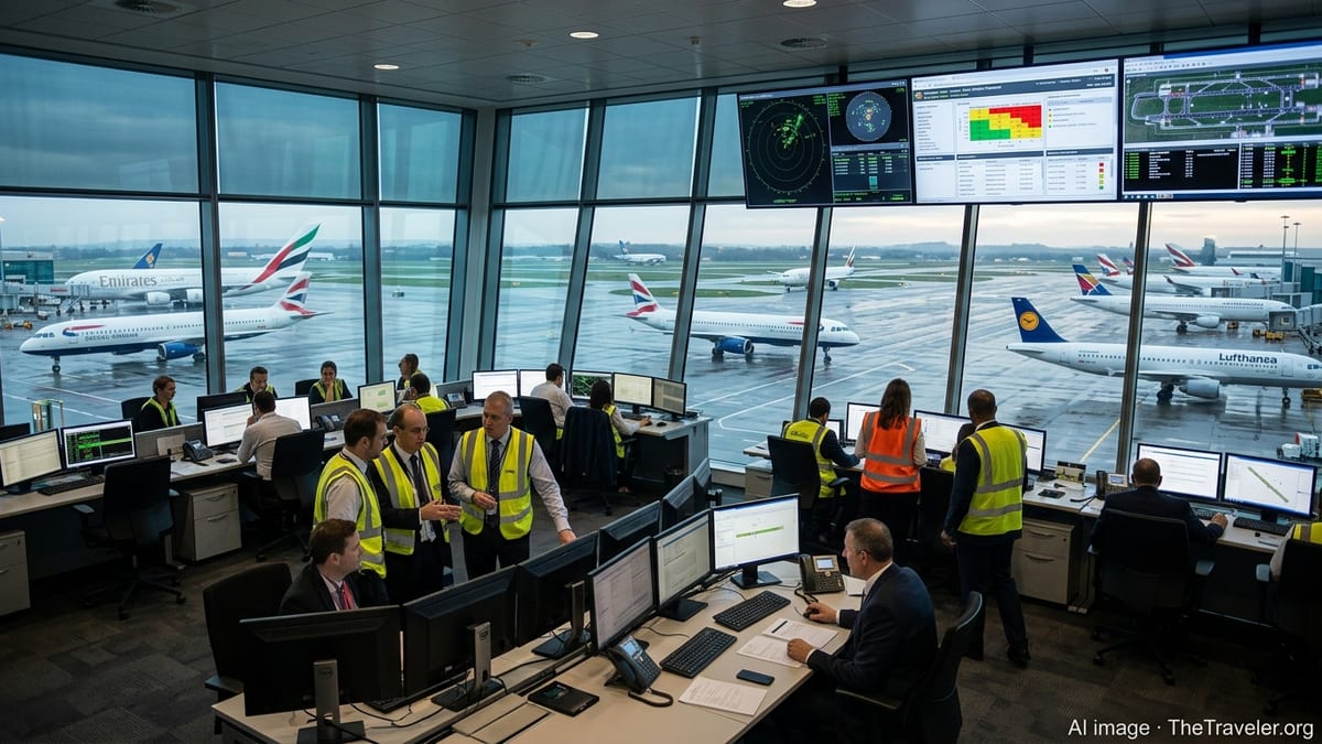
According to real-time aviation status dashboards, severe convective weather along the East Coast prompted air traffic managers to temporarily halt or sharply limit arrivals and departures at major airports serving the National Capital Region on Wednesday, May 20. Washington Dulles International Airport, Ronald Reagan Washington National Airport and Baltimore/Washington International Thurgood Marshall Airport all experienced periods of ground delay programs and intermittent ground stops as storms moved through the region.
Published coverage and airline communications describe an afternoon and evening of rolling disruptions, with thunderstorms and associated visibility and wind issues reducing the rate at which aircraft could land and depart. When arrival rates drop below scheduled demand, traffic managers typically slow or stop inbound flights, holding aircraft at their origin airports until conditions improve. That pattern appeared across several East Coast hubs, with the Washington-area airports caught in the center of the stormy corridor.
Although the most restrictive measures were lifted as weather cells passed, knock-on delays continued into the evening. Publicly available tracking data indicated that many flights bound for the Washington region faced extended ground holds at origin, diversions to alternate airports or lengthy airborne holding as traffic flows were gradually restored.
The disruptions added fresh strain to a system already operating near record volumes. Recent data released by the regional airport authority shows that Reagan National and Dulles together handled more than 53.9 million passengers in 2025, a record for the two-airport system, leaving little margin when thunderstorms or operational constraints squeeze capacity.
Stormy Pattern Follows Recent Control Facility Issues
The latest weather-driven slowdowns come on the heels of several high-profile interruptions linked to the Potomac Terminal Radar Approach Control facility, which manages much of the low-altitude airspace around the capital region. In late March, a strong chemical odor at the facility led to a temporary evacuation and a broad ground stop affecting Reagan National, Dulles, Baltimore/Washington, Charlottesville–Albemarle and Richmond, according to published news reports and official advisories.
Earlier in March, an equipment outage at the same control center contributed to a roughly one-hour halt of departures and arrivals at the three main Washington-area airports, with delays at some carriers stretching to two hours or more, based on local broadcast coverage and industry reporting. Social media posts from impacted travelers at the time described crowded gate areas, rolling departure estimates and diversions for inbound aircraft that could not be accommodated.
Travel forums and aviation discussion boards have continued to highlight concerns about the resilience of the region’s air traffic infrastructure, particularly when weather and facility issues overlap. Passengers posting about the latest storms on May 20 reported extended departure holds attributed to East Coast thunderstorm traffic management initiatives, as airlines attempted to sequence flights into a constrained airspace system already operating with tight staffing and equipment limitations.
Recent correspondence from elected officials to federal aviation leaders has also referenced the March disruptions at the Potomac facility, seeking additional information about equipment failures, environmental conditions and contingency planning. That backdrop has contributed to heightened public attention whenever new ground stops or broad delay programs affect NoVA airports, even when the primary trigger is severe weather rather than a technical fault.
Travelers Face Cascading Delays Across the Network
For passengers, the most visible impact of Wednesday’s storms was a wave of delayed and cancelled flights radiating far beyond the Washington region. Once ground stops are issued, aircraft scheduled to depart other cities for NoVA airports are often held at the gate to avoid airborne stacking near the constrained destination. That, in turn, delays subsequent legs for those aircraft and crews, affecting travelers who may have no planned connection through the capital area.
Publicly available airline operations dashboards on May 20 showed widespread knock-on delays at hubs feeding Washington routes, including New York and other Northeast cities dealing with the same weather system. Anecdotal reports from travelers on social platforms described missed connections, late-night arrivals and unplanned overnight stays after thunderstorms forced schedule resets at multiple points in the network.
The timing of the storms intensified the disruption. Late spring evenings are already busy in the National Capital Region, with a mix of business travelers, government-related traffic and growing volumes of summer leisure passengers. When severe weather coincides with this peak period, recovery can extend well into the following day as airlines reposition aircraft and crews and work through backlogs of displaced customers.
Industry analysts note that both Dulles and Reagan National operate close to their practical capacity during normal conditions, particularly during the late afternoon and early evening. With runways and gates tightly scheduled, even a brief period of reduced arrival rates can set off hours of ripple effects, as airlines juggle reduced takeoff slots, gate conflicts and crew duty limits.
Advice for Passengers Flying Through NoVA Airports
Travel experts and consumer advocates generally advise passengers using NoVA airports during active storm patterns to build extra flexibility into their plans. Based on recent disruptions, itineraries with short connections into or out of Washington may be especially vulnerable when thunderstorms trigger traffic management initiatives along the East Coast corridor.
Public guidance from airlines and airport operators emphasizes the importance of monitoring flight status through official apps and notification systems, particularly on days when weather forecasts call for strong storms, low ceilings or high winds. On May 20, some carriers issued travel waivers for cities including Washington and Baltimore, allowing affected customers to rebook within a defined window without change fees, according to customer communications shared online.
Passengers embarking on long-haul or international trips from Dulles may benefit from scheduling earlier departures when possible, giving additional time to absorb delays without missing connections overseas. Travelers flying into the region for time-sensitive events, such as conferences or government meetings, are often encouraged to consider arriving a day early during the late spring and summer, when severe thunderstorms are more common.
In the longer term, ongoing construction and capacity projects at Dulles and infrastructure upgrades across the National Airspace System are expected to provide some resilience, but the combination of record passenger volumes, complex airspace and increasingly volatile weather patterns means that NoVA airports are likely to remain sensitive to severe storms. For now, travelers passing through the capital region are being reminded that even a short burst of bad weather can quickly become an all-evening disruption once ground stops are in play.