


More news on this day
A fresh round of unsettled weather linked to a cold front sweeping the Eastern Seaboard on November 6 is keeping travelers on alert, as forecasters highlight a marginal risk of severe thunderstorms along portions of the Carolinas and Virginia and warn of heavy rain and gusty winds in several other regions.
Get the latest news straight to your inbox!
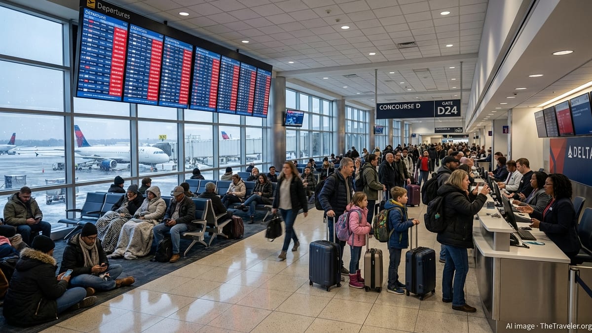
Where Severe Thunderstorm Watches Are Most Likely Today
Publicly available outlooks from the U.S. Storm Prediction Center for November 6 indicate a level 1, or marginal, severe thunderstorm risk focused on parts of North Carolina, South Carolina and Virginia. That risk window runs from midday Friday into the overnight hours, as warm, humid air ahead of a advancing cold front collides with cooler, drier air to the west.
Although the primary expectation is for scattered, not widespread, storms, the setup can still support damaging wind gusts and pockets of hail. Travel hubs along the Interstate 95 and Interstate 85 corridors in the Carolinas and Virginia may see rapid changes in driving conditions, including torrential downpours that briefly reduce visibility and ponding of water on roadways.
Forecast discussions from the National Weather Service describe the broader pattern as one in which thunderstorms are likely across parts of the Mid Atlantic and Southeast, but only a small subset of those storms is expected to reach severe limits. Even so, the presence of a marginal risk zone increases the likelihood that a formal severe thunderstorm watch could be posted if storms intensify more than initially projected.
For travelers, that means the day may start quietly but deteriorate quickly later, especially in coastal sections of the Carolinas where sea-breeze boundaries can help storms grow stronger during the afternoon and early evening hours.
What a Severe Thunderstorm Watch Really Means for Travel
According to National Weather Service guidance, a severe thunderstorm watch is typically issued when conditions are favorable for storms capable of producing wind gusts of at least 58 miles per hour or hail of at least three quarters of an inch in diameter across a broad region for several hours. Educational materials from local forecast offices note that watches often cover multiple counties or even several states and frequently last six to eight hours.
Once a watch is in effect, storms may develop rapidly within and near the outlined area. For aviation, this can lead to temporary ground stops, rerouted flight paths and holding patterns as dispatchers and air traffic managers work around clusters of lightning, strong winds and low cloud bases. Advisory logs from recent months show that thunderstorms remain one of the leading triggers for ground delay programs at busy hubs in Texas and the Southeast, even when skies are clear just a short distance away.
On the ground, a watch signals that drivers could encounter sudden changes along major interstates, including intense rain shafts, crosswinds and frequent lightning. Road weather guidance highlights that winds associated with severe thunderstorms can be strong enough to buffet high profile vehicles, especially on bridges and elevated sections of highway, while rapid runoff may overwhelm drainage in low lying areas.
The watch stage is distinct from a warning, which is issued when severe weather is imminent or already occurring. For travelers, that difference matters: a watch is the time to adjust plans, monitor forecasts and identify safe shelter options along a route before storms arrive.
Latest Signs from the Skies and the Flight Boards
Federal aviation updates late Thursday and early Friday pointed to generally manageable delays at major airports, with the daily air traffic report highlighting low clouds and rain as the main issues for large Northeast hubs on November 5 rather than widespread thunderstorms. A handful of regional facilities, such as Dallas Love Field, have recorded ground stops due to thunderstorms in recent weeks, but real time status boards for early November 6 showed most large airports operating near schedule with only minor weather related slowdowns.
Independent trackers that compile Federal Aviation Administration data listed Dallas Fort Worth, Chicago Midway and several East Coast airports as “on time” through Friday evening, with average delays measured in only a few minutes and local observations reporting showers and low clouds rather than organized severe storms. That pattern underscores how quickly conditions can shift: a relatively quiet morning on departure boards does not rule out more significant impacts later in the day if thunderstorms mature along the cold front.
Forecasters at national and regional centers also draw attention to the broader weather picture beyond the severe thunderstorm risk corridor. Heavy rain potential late Friday into Saturday in parts of New England has already prompted flood watches for southeastern Massachusetts and Rhode Island, while strong Pacific systems are lining up for the Pacific Northwest, both of which add complexity for multi leg itineraries.
For travelers making tight connections or moving between regions, tracking both the convective outlooks in the Southeast and the flood or winter weather headlines elsewhere has become a key part of minimizing disruption.
Practical Steps Travelers Can Take Under a Watch
Travel planners emphasize that the hours leading up to a possible severe thunderstorm watch are the best time to build flexibility into an itinerary. Airline policies made public in recent years show that when impactful weather is anticipated, carriers sometimes activate travel waivers that allow customers to change flights within a defined window without additional charges, particularly on routes that have a history of thunderstorm related congestion.
For those already in the air system, monitoring flight status through airline apps and airport displays is essential. National air traffic guidance suggests passengers verify gate and departure times before leaving for the airport and allow extra time for security and taxiing whenever thunderstorms are in the forecast, since ramp closures due to nearby lightning can temporarily halt boarding and baggage handling even if a severe thunderstorm watch covers a wider region than the airport itself.
On the road, transportation safety materials recommend that drivers plan fuel and rest stops away from areas prone to rapid flooding, such as low water crossings or underpasses, and review local radar or weather apps before committing to longer rural stretches. If a severe thunderstorm warning is later issued within a watch area along a route, best practice is to delay travel and seek substantial shelter until the storm passes.
Accommodation and tour providers across the Southeast and Mid Atlantic increasingly incorporate flexible check in times and weather clauses, allowing guests to adjust arrivals by a few hours when intense storms coincide with peak travel windows. Checking those policies in advance can offer additional options if a watch evolves into a more active severe weather episode.
Balancing Weather Awareness With Travel Confidence
Despite the heightened attention that any mention of severe thunderstorms can bring, current forecasts for November 6 frame the threat as limited in geographic scope and intensity. The marginal risk highlighted for the eastern Carolinas and southeast Virginia reflects the possibility of a few stronger storms rather than a large outbreak, and national convective outlooks for the days surrounding the event keep severe probabilities relatively low across the contiguous United States.
Historical climatology shows that autumn can produce sharp but localized severe weather episodes along strong cold fronts, often affecting a narrow corridor of counties along and just ahead of the boundary. That pattern aligns with the focused risk zone indicated in the latest outlooks, where relatively modest tornado probabilities accompany a slightly higher chance of damaging straight line winds.
For most travelers, that means trips can proceed with added situational awareness rather than wholesale cancellations. Keeping an eye on updated radar, airport status pages and local alerts along the route allows travelers to respond quickly if a severe thunderstorm watch is issued or upgraded, while still taking advantage of largely routine operations outside the most at risk corridor.
As the cold front sweeps offshore and the atmosphere stabilizes, forecasts point to a quieter period for severe thunderstorms across much of the country, giving travelers a brief window of calmer conditions before the next active pattern emerges later in November.