


More news on this day
Rail passengers across the UK are being urged to prepare for delays, cancellations and possible speed restrictions as Storm Austen is forecast to sweep across the country from late Thursday into Friday with gusts of up to 70 mph, coinciding with peak commuter and school holiday travel.
Get the latest news straight to your inbox!
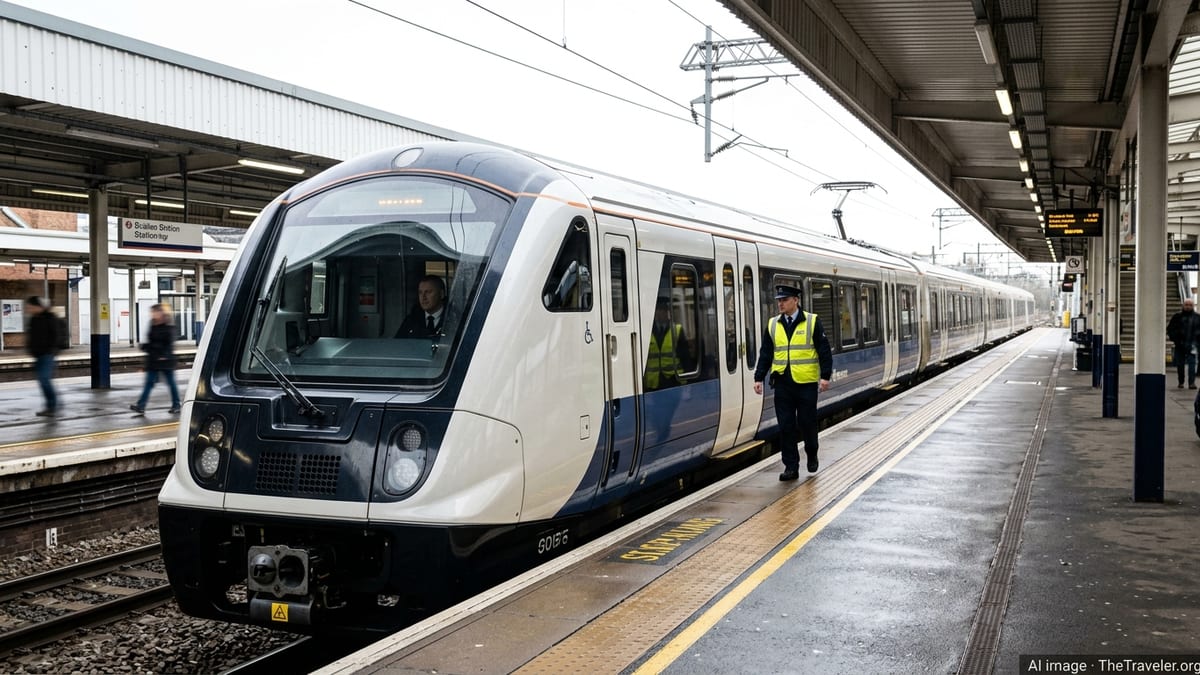
Storm Austen to hit during Friday morning peak
Met Office forecasts indicate that Storm Austen, the first named storm of the 2026/27 UK storm season, will move in from the Atlantic on the night of Thursday 22 October and track east across southern Britain during the morning of Friday 23 October. Weather warnings highlight the risk of widespread transport disruption as heavy rain and severe gales coincide with busy rush-hour services.
An amber wind warning is in place on Friday morning for Cornwall, the Isles of Scilly and parts of west Devon, with a broader yellow wind warning extending across much of southern England and south Wales. Forecasts suggest gusts of 60 to 70 mph in the most exposed coastal areas of the southwest, and 50 to 60 mph more widely within the warning zones.
Further yellow wind warnings are in force for parts of northern England and Scotland into the weekend as another area of low pressure follows in Austen’s wake. Publicly available information from the Met Office suggests that unsettled conditions could persist into Sunday, increasing the risk of ongoing disruption for longer-distance intercity and cross-border rail journeys.
Why high winds cause serious problems for trains
Rail industry briefings on previous storms in the UK highlight how strong winds and saturated ground combine to create particular hazards for the railway. Gusts of 60 mph or more can bring down trees and large branches onto tracks and overhead power lines, damage station canopies, and blow debris onto the line, all of which can lead to sudden line blockages and lengthy repairs.
Network Rail data from earlier storm events shows that hundreds of incidents, including fallen trees, debris and localised flooding, can be recorded across the network during a single severe weather episode. These incidents not only halt services on affected lines but also trigger knock-on delays on adjoining routes as trains and crews are displaced from their planned positions.
In very high winds, infrastructure managers have previously introduced blanket speed restrictions, particularly on exposed coastal and high‑level routes. Lower speeds reduce the risk of damage from debris and improve braking distances in poor conditions, but they also increase journey times and can lead to missed connections, especially on tightly timed commuter corridors and intercity services.
Rail disruption risk highest in southwest and southern routes
Based on the latest warning maps, the greatest risk of disruption from Storm Austen on Friday morning lies on lines serving southwest England and south Wales. Routes into and out of Cornwall and Devon, including services through Plymouth, Exeter and along the coastal stretch of the Dawlish sea wall, are positioned within the core of the strongest forecast gusts.
Coastal and estuary lines in affected areas are particularly vulnerable where tracks run close to open water or exposed embankments. Previous storms have seen waves overrunning sea walls, salt spray affecting signalling equipment, and ballast washed away on low‑lying sections, all of which can force lines to close until safety checks and repairs are completed.
Long‑distance services linking the southwest with London, the Midlands and the north of England also face a heightened risk of delay or cancellation where they pass through the warning zones. Published information from national journey planners on Wednesday already highlights incidents and minor disruption around parts of the network, underlining how quickly conditions can deteriorate once winds strengthen.
Advice for passengers planning to travel
Rail operators and journey planning services are advising passengers to check live departure boards and service updates before setting out, particularly for early morning trains on Friday 23 October when the strongest winds associated with Storm Austen are expected. Travellers are being encouraged to allow extra time to reach stations and to consider earlier or later services where ticket flexibility is offered.
Experience from previous named storms suggests that short‑notice alterations are likely as conditions evolve, including temporary suspensions on exposed sections, diversions away from blocked routes, and replacement bus services where lines are closed. Where buses are used, passenger capacity can be limited compared with normal timetabled trains, potentially leading to crowding at key interchange stations.
Passengers holding advance tickets who decide not to travel during the worst of the weather are being directed, through public information, to operator‑specific policies regarding fee‑free changes or travel on alternative services. However, policies vary between companies, so travellers are advised to confirm the latest arrangements directly with their train operator or via official journey planning tools.
What to watch for in the days ahead
Although Storm Austen’s most intense winds are expected to ease as the system clears into the North Sea later on Friday, forecasts indicate further bouts of strong winds and heavy showers across parts of the UK into Saturday and Sunday. This unsettled pattern raises the possibility of residual disruption, especially where trees and ground have already been weakened by earlier gusts and rainfall.
Rail infrastructure teams typically conduct overnight inspections after major storms to check for damage to tracks, signalling, overhead lines and embankments. If significant issues are discovered, some early‑morning or late‑evening services over the weekend may be shortened, diverted or cancelled to allow for engineering access and repairs.
With half‑term leisure trips and weekend events adding to demand on many routes, passengers intending to travel by train over the coming days are being urged by public agencies and weather services to monitor the forecast closely and to keep checking for updated rail information. As with previous autumn storm episodes, the combination of high winds, heavy rain and already busy services is expected to test the resilience of the network well beyond the initial impact of Storm Austen itself.