


More news on this day
As summer thunderstorms fade and winter snow has yet to arrive, a quieter atmospheric reshuffle takes place each fall, nudging jet streams, wind shear and storm tracks into new positions that subtly change where and when flights are most likely to be delayed.
Get the latest news straight to your inbox!
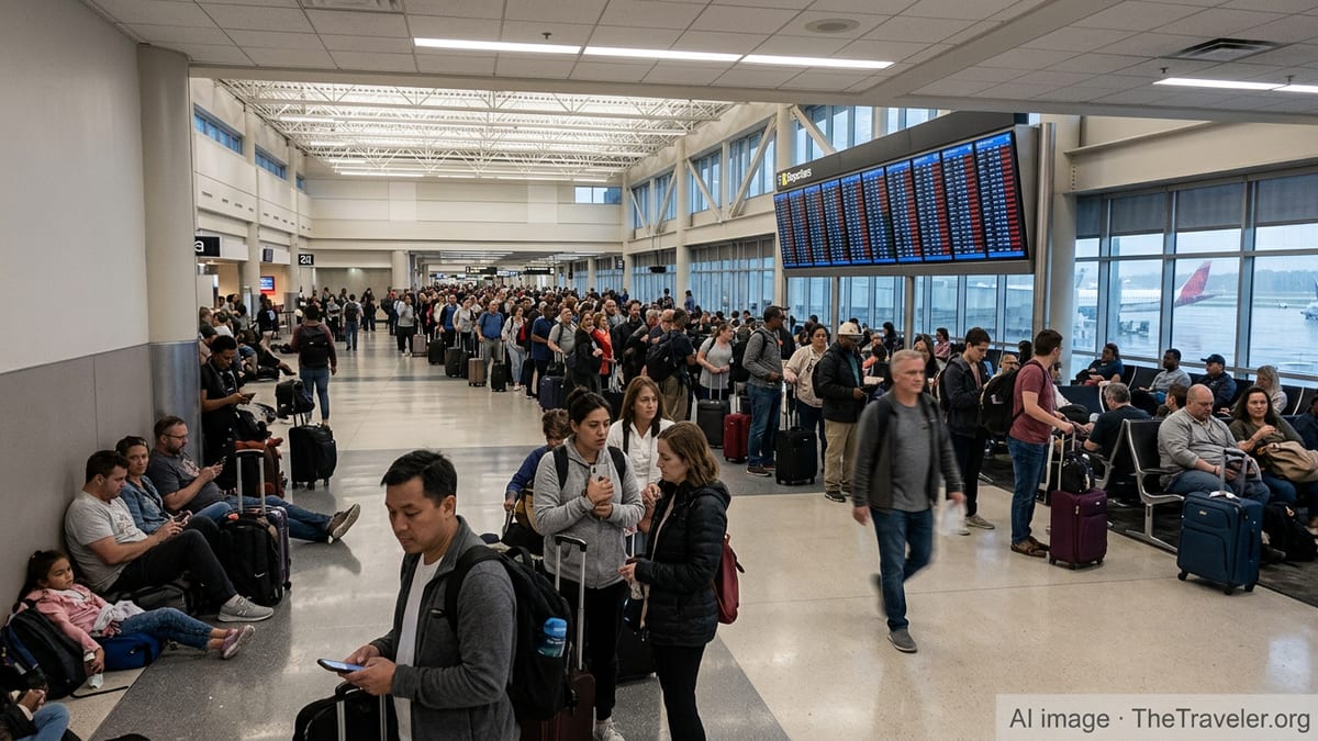
The Seasonal Turn: From Thunderstorm Gridlock to Wind and Turbulence
Publicly available aviation delay analyses describe a familiar annual rhythm: long summer days with convective storms and peak travel demand, deep-winter snow and ice, and relatively calmer shoulder seasons in between. Data compiled from U.S. Bureau of Transportation Statistics records and independent route analyses indicate that spring and fall typically see fewer extreme disruption days than midsummer or midwinter, but that does not mean delays disappear. Instead, the drivers of disruption change character as the atmosphere reorganizes in September and October.
Technical guidance from aviation training providers notes that the transition periods between seasons can bring fast-moving fronts, gusty winds, low ceilings and rapidly shifting freezing levels, especially across midlatitude regions. Rather than sprawling afternoon thunderstorm complexes, fall is more often marked by organized frontal systems and embedded areas of rain and low cloud, conditions that can quietly lower arrival and departure rates without the visual drama travelers associate with “weather days.”
Studies of weather systems over the continental United States show that severe convective activity generally decreases from late summer into fall, particularly in many eastern regions, while frontal systems remain frequent. This shift means fewer large thunderstorm-induced ground stops at some hubs, but more recurrent bouts of low ceilings, rain and modest turbulence that require extra spacing between aircraft and more conservative runway configurations.
For travelers, the net effect is that delay risk in October may feel less spectacular than in July, yet still persistent. Aircraft are less likely to be trapped by towering thunderstorms but more likely to contend with wind shifts, elongated arrival queues in marginal visibility and occasional reroutes around fast-moving frontal bands.
Jet Streams Slide South and Reroute Aircraft Flows
One of the most influential fall changes occurs high above the cruising altitudes of commercial jets. Meteorological training material from the U.S. weather service describes how the polar jet stream typically migrates southward as the polar front advances toward lower latitudes in autumn. This seasonal repositioning strengthens upper-level winds over parts of the midlatitudes and alters the corridors where airlines can find helpful tailwinds or must contend with stronger headwinds and turbulence.
As the jet intensifies and dips farther south, transcontinental routes that were relatively benign in late summer can begin intersecting stronger wind gradients and areas of clear-air turbulence. Research on jet-related wind shear and turbulence highlights that sharp curvature in strong upper-level troughs and ridges can create pockets of rough air at or near the tropopause, even on days that appear cloud-free from the ground. In practice, this can translate into more frequent minor reroutes, speed adjustments and altitude changes for flights crossing the developing autumn jet.
Operationally, stronger and more variable jet flows affect schedule reliability in two opposing ways. Eastbound flights may benefit from enhanced tailwinds and arrive early, but westbound flights can encounter prolonged headwinds that erode planned time buffers. When aircraft arrive late into already busy late-afternoon bank structures at major hubs, the cumulative effect can spill into missed connections and rolling delays, even if local surface weather appears manageable.
Over time, airlines incorporate these climatological jet shifts into seasonal schedules, slightly adjusting block times and connection windows. Nevertheless, when the first stronger upper-level troughs of the season move across North America, the mismatch between expectations and actual winds aloft can still cause localized pockets of delay that surprise travelers.
From Thunderstorm Outflows to Subtle Low-Level Wind Shear
In summer, much of the operational focus is on convective weather: towering cumulonimbus clouds, microbursts and intense outflow boundaries that can generate severe low-level wind shear near busy airports. Federal aviation guidance underscores how microbursts and convective wind shear can produce rapid changes from strong headwinds to tailwinds, severely affecting approach and departure performance. These hazards increase spacing between aircraft and can temporarily halt operations when storms move directly over airfields.
As fall progresses, published tutorials on wind shear explain that non-convective shear associated with fronts, temperature inversions and terrain-induced flows becomes relatively more prominent. This type of shear, often tied to strong low-level jets just above the surface or sharp wind changes across frontal boundaries, may occur without nearby thunderstorms. It can still demand cautious approaches and departures, particularly during the overnight and early morning hours when stable layers are common.
Seasonal advisory newsletters from aviation weather centers note that while convective-related shear spikes in summer, there is a secondary increase in low-level wind shear events from mid-fall to early winter, coinciding with stronger frontal passages and the onset of more frequent jet-driven storm systems. These conditions may not produce dramatic radar signatures but can still trigger wind shear alerts that slow operations at large hubs.
For passengers, the manifestation of this shift is subtle: more bumpy climbs and descents on apparently clear days, occasional go-arounds or holding patterns during gusty frontal passages, and incremental reductions in runway acceptance rates. Each of these factors adds minutes to flight times that accumulate over a day’s schedule.
Storm Tracks, ENSO Patterns and Regional Winners and Losers
Beyond the broad jet stream migration, large-scale climate patterns also play a role in where fall weather-related delays concentrate. Information from national weather agencies on El Niño and La Niña episodes shows that these Pacific Ocean temperature regimes can reshape the strength and position of both the Pacific and polar jet streams over North America. During some El Niño patterns, a more active subtropical jet can steer additional storm systems into the southern tier of the United States, while certain La Niña configurations tend to favor more frequent disturbances across northern states.
These shifts in storm tracks can subtly redistribute which hubs see the most challenging fall conditions in a given year. In seasons dominated by a strong southern jet, airports across parts of California, Texas and the Southeast may record more frequent rainy, low-ceiling days in October and November, emphasizing arrival metering and instrument approaches. In years when the storm belt rides farther north, upper Midwest and Northeast hubs may experience more frequent gusty frontal passages and low-level turbulence, even if total storm numbers are modest.
Route-level analyses of seasonal performance referenced by independent aviation data platforms indicate that some airports in the interior Southwest, such as those with limited winter storm exposure and relatively weak convective seasons, often enjoy comparatively stable fall on-time metrics. By contrast, hubs situated near major storm tracks or large water bodies can see more variability in fall performance as lake-enhanced clouds, coastal fronts or orographic effects interact with the shifting jets.
For airlines, these spatial patterns inform decisions about where to position spare aircraft, how much schedule padding to build into key connecting complexes and which regional routes may need additional contingency time during the fall months. The effects may escape the notice of most travelers, but they are embedded in seasonal timetable adjustments and internal operational planning.
What Travelers Can Expect as Skies Quietly Reorganize
While many passengers associate “weather delays” primarily with snowstorms or dramatic summer thunderstorms, publicly available climatologies and training materials portray a more nuanced picture. Fall brings fewer extremes at many airports, but the combination of stronger upper-level winds, non-convective low-level shear and frequent frontal systems means that minor disruptions can become more evenly spread across more days.
On typical October and November travel days in North America, the most common operational impacts are slightly longer taxi-out times, increased airborne holding near destination airports during periods of gusty crosswinds or marginal visibility, and occasional reroutes that lengthen flight paths around high-wind or turbulence zones. Many of these adjustments add only minutes to individual flights, yet they can accumulate into missed connections or late-evening arrivals as the day progresses.
Travelers looking to minimize exposure to these quiet seasonal delays may benefit from choosing earlier departures, favoring nonstop routes when possible and allowing generous connection times at hubs located along active storm tracks. Even with those precautions, the subtle atmospheric recalibration each fall means that some level of uncertainty is built into the system, even on days that appear calm from the terminal windows.
For the aviation system as a whole, the fall weather pattern is less about headline-grabbing disruption and more about a steady background influence. As jet streams slide, wind shear profiles evolve and storm tracks shift, the geography and timing of delays adjust in step, reshaping the odds of an on-time arrival long before the first snowflake of winter appears.
https://www.faa.gov/nextgen/programs/weather/faq
https://www.weather.gov/source/zhu/ZHU_Training_Page/winds/Wx_Terms/Flight_Environment.htm