


More news on this day
Thunderstorms moving through the Seattle area on Thursday led to a wave of delays at Seattle–Tacoma International Airport, disrupting departures and connections at one of the West Coast’s busiest hubs during the midsummer travel rush.
Get the latest news straight to your inbox!
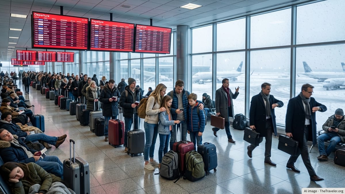
Stormy Skies Slow Departures at Key West Coast Hub
Seattle–Tacoma International Airport, commonly known as SEA, experienced significant schedule impacts as thunderstorms and periods of heavy showers moved across the central Puget Sound region. Publicly available weather information for the airport on July 16 indicated repeated rounds of showers with embedded thunderstorms during the core daytime operating window, conditions that typically require tighter spacing between aircraft and temporary pauses in ground handling.
Operational data from flight-tracking and airport monitoring platforms showed departures facing rolling delays throughout the morning and early afternoon as crews navigated the combination of reduced visibility, wet runways, and convective activity in the terminal airspace. Even when storms passed quickly over the airfield itself, thunder and lightning in the vicinity limited ramp work and slowed the boarding and deplaning of aircraft.
The disruption was magnified by SEA’s role as a major hub and connecting gateway. Delays on departures from Seattle rippled across networks serving destinations across the continental United States, Alaska, Hawaii, and Canada, extending the impact well beyond the Pacific Northwest.
Weather Pattern Adds Pressure to Busy Summer Operations
National Weather Service forecasts centered on Seattle–Tacoma International Airport called for showers and a chance of thunderstorms through the day, contrasting with the more familiar low clouds and drizzle that usually characterize the region’s weather. Thunderstorms bring sharper operational constraints, in particular lightning risk that limits ground staff activity and potential wind shear or turbulence that requires additional spacing between arrivals and departures.
Airport performance metrics compiled over recent months indicate that SEA typically maintains relatively strong on time rates in light rain and overcast conditions, but is more vulnerable when convective storms develop over the Puget Sound region. During such patterns, even short-lived cells can trigger cycles of rerouting, airborne holding, and gate changes that take hours to unwind once the weather improves.
Travel industry observers note that the current thunderstorm episode follows an early summer period marked by heavy national demand and ongoing airfield construction at major U.S. airports. Federal aviation planning documents for 2026 highlight runway and taxiway work at SEA that can reduce operational flexibility during periods of adverse weather, leaving less margin to absorb sudden surges of delayed traffic.
Passengers Face Missed Connections and Rebookings
For travelers, the thunderstorms translated into long lines, shifting departure times, and in some cases missed connections through Seattle. Airline network maps show SEA as a critical interchange point for traffic between the West Coast and the Midwest, East Coast, and transpacific markets, so even modest departure delays can cascade into missed onward flights later in the day.
Same day connection windows into late afternoon and evening banks were particularly vulnerable as the morning disruption spilled forward. When early departures pushed back by an hour or more, aircraft and crews arrived late into Seattle, narrowing the time available to turn flights and compounding schedule pressure during peak periods.
Published passenger guidance for irregular operations at SEA emphasizes monitoring airline apps and departure boards closely, arriving early during unsettled weather, and being prepared for gate or time changes with limited notice. Carriers typically attempt to prioritize rebooking for travelers with missed connections and may make use of later flights to nearby alternate airports where seats are available.
How Thunderstorms Disrupt Airport Operations
Thunderstorms affect airports in several distinct ways that together slow the flow of traffic. Lightning in the area can prompt ramp closures or restrictions, temporarily halting baggage loading, fueling, catering, and jet bridge movements. Heavy downpours reduce runway braking performance and require additional spacing for landings and takeoffs, while gusty or shifting winds may limit the use of certain runways.
Air traffic management units may impose departure and arrival rate reductions or implement spacing programs when storm cells approach key arrival and departure corridors. For an airport like Seattle, which feeds numerous long haul flights, these constraints can translate into aircraft waiting at gates, holding on taxiways, or flying extended arrival paths while controllers sequence traffic through safe weather windows.
When storms are part of a broader regional pattern, the disruption can expand beyond the local airfield. Flights inbound to Seattle from other hubs may themselves depart late due to earlier weather elsewhere, arriving out of position and reducing the number of aircraft available to operate later segments from SEA.
What Travelers Through SEA Can Expect Next
With forecasts pointing to lingering showers and the possibility of additional thunderstorms in the wider Seattle area, travelers through SEA are likely to see continued schedule adjustments through the remainder of the day. Even if convective activity weakens, residual congestion and aircraft rotation challenges often mean that delays persist into later departure banks before the operation can fully recover.
Passenger information channels for the airport and major airlines serving Seattle typically stress that same day conditions can change quickly. Travelers are encouraged, in publicly available guidance, to build in extra time for security screening and to stay near their gates once checked in, as boarding times can be brought forward when brief weather windows allow.
Industry analysts note that as summer progresses, similar weather linked disruptions can be expected at other hubs across the national network. For SEA in particular, events like Thursday’s thunderstorm pattern underscore how even a region known more for steady rain than severe storms can see significant knock on impacts when convective weather intersects with peak travel demand.