


More news on this day
Houston’s George Bush Intercontinental Airport is working through widespread schedule disruption after Tropical Depression Edouard drenched southeast Texas, with publicly available tracking data showing hundreds of delays and cancellations across one of the nation’s busiest connecting hubs.
Get the latest news straight to your inbox!
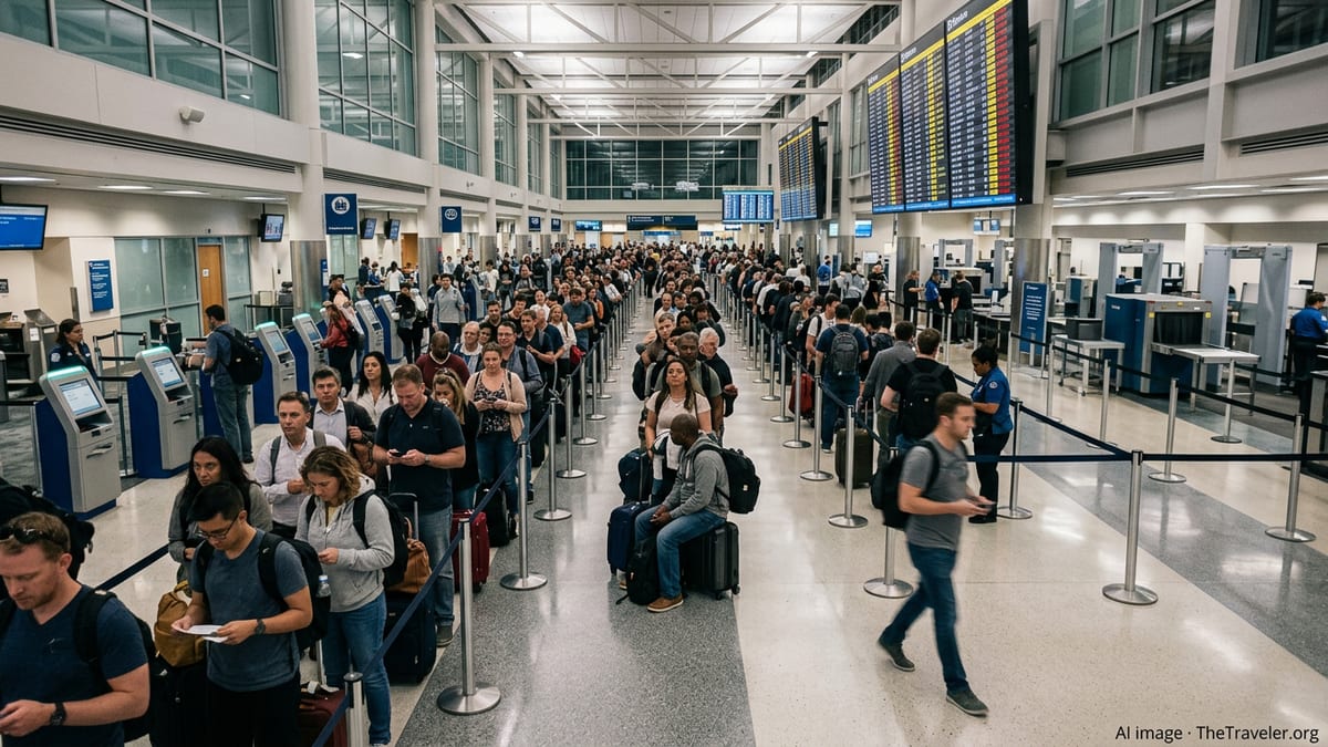
Storm-Slowed Operations at a Major U.S. Hub
As Edouard weakened from a tropical storm to a depression over Texas, the system still carried bands of heavy rain, low clouds and gusty winds across the Houston area. National Hurricane Center advisories describe the cyclone’s center moving inland near the Texas Louisiana border late on September 1 while maintaining a broad shield of tropical moisture over southeast Texas.
According to published coverage and airport status boards reviewed over September 1 and 2, that combination of poor visibility and saturated airspace translated into cascading delays at George Bush Intercontinental Airport. Arrivals were slowed as air traffic managers spaced aircraft farther apart in the rain, while departures frequently waited for weather windows and route adjustments, pushing some flights well past their scheduled times.
By early September 2, aggregated flight-tracking data indicated that hundreds of flights into and out of IAH had been delayed or canceled since the first outer bands of Edouard began influencing the region. The pattern was most pronounced on Tuesday and Wednesday, aligning with the period when Edouard’s heaviest rain corridors arced over east and southeast Texas.
Federal airspace planning information also pointed to broader regional constraints, with thunderstorms and tropical rain bands over Texas and Louisiana reducing the usable routes into Houston. That combination of local weather and upstream congestion kept the airport in an extended period of reduced-capacity operations even as the storm’s peak winds eased.
Travelers Confront Rolling Delays and Schedule Changes
For passengers, the impact of Edouard’s slow-moving rain shield was felt as a rolling wave of disruption rather than a short, sharp ground stop. Flight-status screens at Bush Intercontinental showed clusters of delayed departures throughout the day, with some banks of flights pushed back repeatedly as storms pulsed along approach and departure paths.
Publicly available airline information indicated scattered cancellations layered on top of those delays, particularly for short-haul and regional routes where aircraft and crews are more tightly interlinked. When one segment fell behind because of weather or air traffic control restrictions, subsequent legs often departed late or were removed from the schedule entirely.
Travel advisories posted by Houston’s airport system and major carriers in the days surrounding landfall urged passengers to confirm flight status before heading to the airport and to allow extra time once on site. Some airlines issued flexible travel waivers tied to Edouard’s forecast track, allowing customers booked through the peak of the storm to adjust itineraries without standard change fees.
Inside the terminals, the pattern mirrored other recent severe-weather events in Houston. Seating near gate areas filled with passengers waiting out extended holds, while concessions and charging stations remained busy during the longest lulls in departures. Baggage delivery in heavy downpours also slowed at times, with airport messaging noting that ramp work can be paused when lightning or unsafe winds move directly over the airfield.
Late-Summer Demand Magnifies the Disruption
Edouard’s timing during a busy late-summer travel period added another layer of complexity. Industry data and past Houston storm events show that disruptions at Bush Intercontinental can ripple far beyond Texas, because the airport functions as a key connecting node for domestic and international networks.
As one of the main hubs for United Airlines and a significant gateway for Latin America and transcontinental flights, IAH routinely handles large volumes of connecting passengers in addition to origin and destination traffic. When storms such as Edouard slow operations, aircraft and crews bound for other parts of the United States and overseas can be left out of position, affecting flights that never enter Texas airspace.
Historical analyses of storms including Hurricane Beryl and previous tropical systems around Houston have documented similar patterns of widespread disruption radiating from Bush Intercontinental. Those case studies show large numbers of delays and cancellations at IAH and neighboring Hobby Airport during periods of intense rain, low ceilings and strong onshore flow, underscoring the sensitivity of the region’s aviation system to tropical weather.
With Edouard, publicly accessible tracking platforms on September 1 and 2 again illustrated this hub effect, listing knock-on delays from Houston on routes extending across the central and eastern United States. Some long-haul flights departed within relatively narrow weather windows, while others were rescheduled into later overnight or next-day slots as airlines rebuilt their rotations.
Improving Conditions but Ongoing Residual Effects
By September 3, federal aviation updates for George Bush Intercontinental showed routine operations with only minor flow constraints, reflecting a gradual easing of Edouard’s direct weather impacts over Houston. Advisory products from the National Hurricane Center indicated the system continuing inland as a weakening depression, with the most intense rainfall shifting away from the metropolitan area.
Even as runway conditions and visibility improved, residual disruptions remained embedded in airline networks. Aircraft that arrived late during the worst of the storm needed to be cycled back into position, and crews bumping up against duty-time limits required replacement before some flights could depart. Those secondary effects meant that scattered delays, particularly on early-morning departures, continued beyond the period of heaviest rain.
Travel industry guidance in similar post-storm scenarios emphasizes that passengers whose trips span multiple connections are most exposed to lingering irregular operations. As schedules normalize following Edouard, publicly available booking tools and airline status pages indicate that same-day connections through Houston are gradually returning to typical intervals, though some itineraries still show longer-than-usual layovers.
Looking ahead to the remainder of the Atlantic hurricane season, planning documents from local and federal agencies highlight Bush Intercontinental’s ongoing efforts to refine severe-weather protocols. Recent experiences from Edouard and earlier storms are expected to inform future coordination among airport operators, airlines and national air traffic managers when tropical systems again approach the northwest Gulf of Mexico.
National Hurricane Center public advisory for Tropical Depression Edouard
Houston Chronicle coverage of Edouard-related flight impacts at IAH
Weather.com live updates on Tropical Storm and Depression Edouard
FAA real-time status page for George Bush Intercontinental Airport