
More news on this day
The United Arab Emirates has activated three new Space42 Foresight satellites, broadening a synthetic aperture radar constellation that is being positioned as a tool for faster disaster response, more resilient travel infrastructure and enhanced climate risk monitoring worldwide.
Get the latest news straight to your inbox!
Foresight Constellation Reaches Five Operational Satellites
Publicly available information from Space42 and regional media indicates that the Foresight-3, Foresight-4 and Foresight-5 satellites have entered full commercial service, following their launch in late 2025 and subsequent in orbit testing. The trio joins Foresight-1 and Foresight-2 to create a five satellite synthetic aperture radar constellation focused on high cadence Earth observation.
The spacecraft operate in low Earth orbit and are designed to capture radar imagery through cloud cover and at night, providing what Space42 describes as decision grade geospatial intelligence. This all weather capability is a central feature of the expansion, allowing monitoring to continue during the severe storms, floods and wildfires that often disrupt optical satellite coverage.
Company disclosures describe the Foresight system as part of a broader national strategy to build sovereign Earth observation capabilities in the UAE while exporting commercial data services globally. Recent financial updates show Space42 investing heavily in its Space Services division, supported by a multibillion dollar contracted backlog that underpins further constellation growth through 2027.
With the latest activation, revisit times over key regions are expected to shorten, enabling more frequent passes over high risk coastlines, major transport corridors and densely populated urban areas. Industry analysts note that this higher temporal resolution is increasingly sought by insurers, emergency managers and infrastructure operators.
Supporting Faster Global Disaster Response
Space42 documentation and a recent technical viewpoint on the Foresight program highlight disaster response as a primary use case for the expanded constellation. Synthetic aperture radar can detect changes in land and water surfaces between satellite passes, enabling rapid assessment of flood extent, landslide zones, storm damage and wildfire scars.
In recent years, satellite operators have become key contributors to global emergency mapping efforts, supplying imagery to international humanitarian networks and national crisis centers. The Foresight expansion is described as adding more tasking capacity into this ecosystem, particularly across Europe, the Middle East, Africa and Asia where mid inclined orbits can provide frequent coverage.
According to publicly available material, Foresight imagery is processed through Space42’s AI driven analytics platforms, which aim to convert raw radar data into maps and indices that can be quickly understood by non specialist users. This approach is being promoted as a way to help governments and agencies prioritize rescue operations, route logistics and evaluate damage to critical facilities shortly after a disaster.
Specialist commentary on the sector notes that sovereign radar constellations are increasingly viewed as strategic infrastructure, giving countries more control over access to timely data during crises. The UAE’s move to localize assembly, integration and testing of Foresight satellites is being framed as part of that drive to build resilient, domestically anchored capabilities.
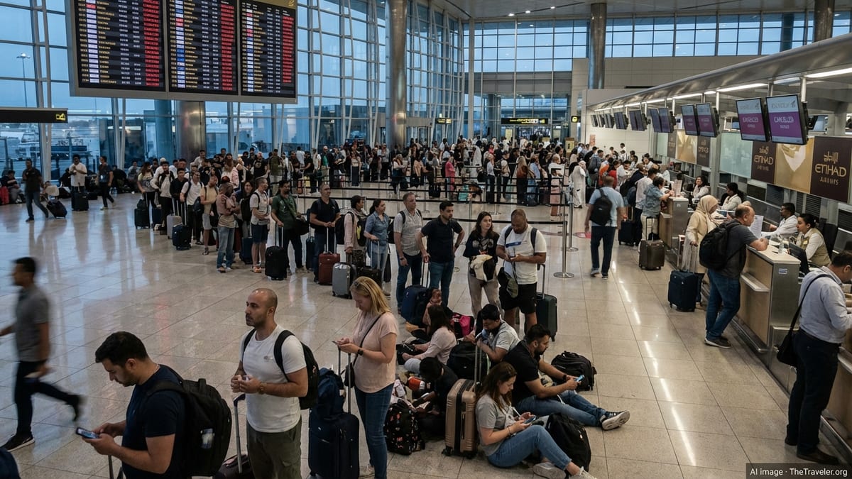
Protecting Aviation, Ports and Overland Travel Routes
Beyond emergency response, the enlarged Foresight constellation is being marketed as a tool to safeguard global travel networks, from airports and seaports to highways, rail corridors and energy pipelines that underpin tourism and trade. Radar satellites are able to monitor ground deformation, shoreline changes and encroaching environmental risks that can threaten long term infrastructure stability.
Space42’s sustainability reporting and product descriptions point to use cases such as tracking coastal erosion near runways and port terminals, mapping subsidence along rail and metro lines, and identifying landslide prone slopes near mountain roads. By comparing radar snapshots over time, analysts can flag anomalous shifts that might indicate structural stress or hidden geohazards.
For the travel sector, this type of persistent monitoring is being positioned as a way to reduce unplanned disruptions and improve asset planning. Insurers and lenders that finance major tourism and transport projects are described as potential customers, using geospatial intelligence to evaluate exposure before construction and to track evolving risks across decades of operation.
Regional media coverage also links the constellation to smart mobility initiatives inside the UAE, where high resolution observation and mapping data support autonomous vehicle testing zones, intelligent traffic systems and new logistics corridors connected to airports and ports. While these programs are domestically focused, the same capabilities can be applied to international transportation hubs that license or purchase Space42 services.
Climate Resilience and Long Term Risk Mapping
The latest Foresight expansion aligns with a wider shift in the satellite industry toward climate applications, with radar data increasingly used to observe ice loss, monitor river basins, track wetlands and measure the impact of extreme weather on cities and agricultural regions. Space42’s public materials emphasize the role of AI in fusing SAR with other data layers to produce climate risk models.
Technical summaries of the constellation suggest that frequent, high resolution coverage can help detect gradual but significant trends, such as changing floodplains, desertification fronts or urban heat island patterns that intersect with tourism zones and transport corridors. Governments and large enterprises are described as primary users, seeking to embed such insights into infrastructure standards and long range investment plans.
Observers note that the UAE has positioned climate resilience as a central pillar of its space strategy, particularly following its hosting of major climate conferences and investment in green finance. The operationalization of three additional SAR satellites is being interpreted as a concrete step toward supplying the datasets needed for environmental reporting, adaptation planning and climate related financial disclosures.
While Foresight is not the only radar constellation serving these markets, its focus on integrating local manufacturing, AI analytics and global service delivery is presented as a differentiator. Analysts say that competition among SAR providers is likely to accelerate innovation in climate risk tools, potentially lowering costs for cities and operators that rely on tourism and travel infrastructure.
Strengthening the UAE’s Position in the Global Space Economy
The activation of Foresight-3, Foresight-4 and Foresight-5 also carries industrial and geopolitical implications. The satellites were developed in partnership with Finnish company ICEYE, but key assembly and testing stages have progressively shifted into UAE facilities, in line with national goals to build a domestic space manufacturing base.
Coverage in regional business outlets notes that Space42 is backed by major Abu Dhabi investment entities and listed on the local exchange, giving it access to capital for long horizon infrastructure projects, including additional satellites and ground segment upgrades. Recent earnings reports highlight growing revenue from geospatial intelligence services alongside traditional satellite communications activities.
Industry commentators view the Foresight program as a flagship for the UAE’s ambition to move from being primarily a customer of imported space hardware to operating complex constellations and exporting data driven services. This transition mirrors broader efforts in the Gulf to diversify economies while building high technology sectors linked to global supply chains.
For the international travel industry, the latest constellation expansion adds another layer of monitoring and analysis capacity at a time when extreme weather, aging infrastructure and rising passenger volumes are placing new pressures on safety and reliability. As more SAR and AI platforms come online, travel planners, insurers and public agencies are expected to gain access to increasingly granular intelligence about the risks facing the routes and destinations on which global tourism depends.