


More news on this day
Thick fog has settled across London and large parts of southeast England this morning under a yellow weather warning, cutting visibility to tens of metres in places and raising the risk of disruption for drivers, rail passengers and air travelers.
Get the latest news straight to your inbox!
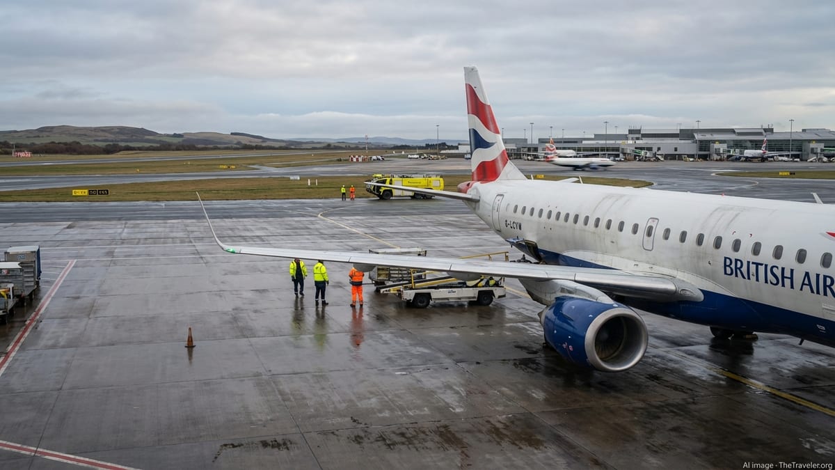
Early morning visibility drops across the capital
Publicly available information from the Met Office shows a yellow warning for fog in force from 00:00 to 10:00 on Sunday 8 November 2026, covering London and much of the surrounding region. The alert notes that widespread fog developed overnight with some dense patches, and visibility falling below 50 metres in the worst affected locations.
The warning area stretches across Greater London and into counties including Buckinghamshire, Surrey, West Berkshire, West Sussex, East Sussex, Hampshire and Oxfordshire. Monitoring sites and third-party feeds tracking the warning indicate that the alert was last updated in the early hours of Sunday, expanding the affected zone across more of England as fog thickened before dawn.
Conditions are expected to improve gradually through the late morning as the fog lifts into low cloud and haze. Forecast guidance indicates that clearance is likely to be slowest over central southern England and parts of the West Country, although transport corridors radiating from London are also highlighted for potential disruption while visibility remains poor.
The yellow category is the lowest of the Met Office impact levels but still signals a moderate risk of travel problems. Met Office guidance on the colour system explains that yellow alerts are used where some disruption to everyday activities is possible and where a proportion of people may be directly affected by the weather, even though many journeys can still go ahead.
Road users urged to allow extra time
The official warning text for today’s fog highlights slower journey times on the roads as one of the main concerns. Dense patches combined with the early morning peak around the M25, major radial motorways and urban routes across Greater London raise the chance of sudden reductions in visibility as drivers move in and out of clearer stretches.
Public travel advice sourced from the Met Office and highway safety campaigns recommends that motorists check their lights before setting off, use fog lights when visibility is seriously reduced, and keep speeds down with greater following distances. Drivers are also encouraged to plan for longer travel times or to delay non-essential journeys until conditions improve later in the morning.
Transport feeds tracking live conditions around the capital often show a pattern of minor collisions and congestion during dense fog events, particularly on high-speed roads and at busy junctions. While comprehensive incident data for this morning is not yet available, past yellow fog episodes have been associated with slower traffic flows on the M25, M4, M3 and key approaches into central London.
According to the National Severe Weather Warning Service framework, fog warnings are designed in part to prompt simple behavioural changes that can significantly reduce risk, such as avoiding last-minute lane changes, using dipped headlights, and pulling over in a safe location if visibility becomes too poor to continue.
Rail and air passengers face risk of delays
The fog alert also flags the likelihood of longer journey times on public transport, along with the possibility of delays or cancellations to flights. While most rail services are able to operate in low visibility, experience during previous fog episodes suggests that speed restrictions and signalling constraints can lengthen some journeys into and out of London termini.
Major operators serving London, including intercity lines from the southwest and commuter routes across the southeast, typically keep trains running but may amend timetables or reduce speeds for safety when visibility is very low. Publicly available journey planners for this morning already carry general warnings about weather-related disruption, although detailed delay figures are still emerging.
Aviation is more sensitive to dense fog, especially during landing and take-off. Published guidance from UK airports and the Met Office notes that poor visibility can reduce runway capacity and lengthen the spacing between aircraft, which can in turn lead to knock-on delays and some cancellations even under a yellow-level alert.
Flight information feeds for London’s airports are being closely watched by passengers this morning, with the warning area explicitly including parts of West London and the Thames Valley corridor. Travelers with early departures or arrivals are being advised through operator channels to check the latest status of their flights and allow additional time for ground transport to and from terminals, in case road congestion worsens.
Extent and timing of the yellow fog warning
According to the latest warning matrix published by the Met Office, today’s fog alert carries a high likelihood rating coupled with a moderate impact level. This combination places the event firmly within the yellow band, where forecasters judge that disruption is probable in a few locations but not expected to be widespread or severe enough to justify an amber or red alert.
The warning for Sunday 8 November 2026 sits alongside a sequence of fog alerts issued over the same weekend, with a previous yellow warning having been in force from Friday evening into Saturday morning across parts of southeast and central southern England. Documentation accessible through the Met Office’s public warning service shows that the Sunday alert was issued at 10:00 UTC on Saturday, giving around 14 hours’ lead time before it came into force at midnight.
Region-specific summaries replicated on third-party monitoring sites indicate that the London and South East England region is one of several English areas affected, with parallel yellow fog warnings also valid across sections of the Midlands, southwest England and northeast Wales. These summaries emphasize that visibility below 50 metres is possible in the thickest patches and that widespread mist or shallow fog is more generally expected.
The Met Office severe weather guidance stresses that warning areas and timings may still be adjusted at short notice as forecasters assimilate new observational data. Travelers planning to cross regional boundaries this morning, for example between London and the Midlands or southwest, are therefore being encouraged by public information channels to check for updated warnings covering their full route.
What travelers should watch for through the morning
Although conditions are forecast to improve as the November sun gains strength, publicly available forecast discussion indicates that some low cloud and lingering fog may persist into late morning in sheltered valleys and over higher ground, especially away from the urban heat of central London. This could continue to affect cross-country routes and peripheral rail lines even after visibility improves in the city centre.
Travel information services recommend that anyone with time-sensitive plans this morning keep a close eye on real-time updates from transport operators. For road users, this includes checking for incidents or reduced speed limits on motorways and major A-roads; for rail passengers, reviewing departure boards before leaving home; and for air travelers, monitoring airport departure and arrival boards for evolving schedules.
Guidance from the National Severe Weather Warning Service highlights that yellow alerts are not intended to deter all travel, but rather to prompt additional caution. For many Londoners, the main effect is likely to be slower commutes and the need for extra journey time, rather than widespread cancellations. However, those with early flights, tight train connections or long-distance road trips may feel the impacts more keenly.
As the yellow fog warning approaches its scheduled expiry time of 10:00, attention is expected to shift toward how quickly skies brighten and whether any residual mist continues to affect transport hubs through midday. Public forecast feeds as of this morning suggest that, once this fog episode clears, no further UK-wide fog warnings are currently in force for the start of the working week, although forecasters continue to monitor light winds and clear nights that can favour renewed fog formation in mid-autumn.