


More news on this day
Heavy rain soaked Broward County on Thursday, September 17, 2026, flooding roadways across the Fort Lauderdale area and complicating travel as weather-related air-traffic initiatives contributed to flight delays at Fort Lauderdale-Hollywood International Airport.
Get the latest news straight to your inbox!
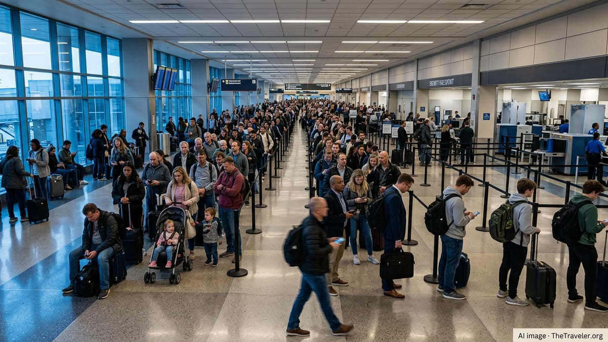
Streets flooded quickly as downpours stalled over Fort Lauderdale
Published coverage from South Florida TV stations described scenes of water-covered streets and difficult driving conditions as repeated downpours moved through Broward County, with some neighborhoods seeing roadway flooding that resembled small lakes. Reports indicated that flooding developed rapidly in low-lying and poor-drainage locations, a common pattern during intense thunderstorms in the region.
Local coverage noted flooding along several major surface streets in Fort Lauderdale, including areas near Andrews Avenue and Sunrise Boulevard and nearby cross streets where water pooled across travel lanes. Video and photos aired by broadcasters showed vehicles creeping through standing water and intersections that became hard to navigate during the heaviest rain.
Weather coverage also pointed to a broader shift back toward a stormier pattern for South Florida, with the potential for additional heavy showers and thunderstorms after the morning’s first round. That matters for travelers because even short bursts of extreme rainfall can overwhelm drainage systems, disrupt traffic around hotels and cruise terminals, and slow access routes to the airport.
Rain totals added up fast, with localized flooding the main concern
Meteorologists quoted in published coverage indicated parts of the Fort Lauderdale area had picked up roughly 3 to 6 inches of rain by late morning on September 17, 2026, with additional rainfall possible later in the day depending on storm redevelopment. Localized totals can vary sharply across short distances when storms repeatedly track over the same corridor.
The National Weather Service’s Miami office has recently issued flood advisories for portions of Broward County during similar overnight thunderstorm setups, describing impacts such as minor flooding in low-lying areas and places with poor drainage. That advisory language aligns with the type of street flooding seen in Thursday’s coverage, where the issue was less about river flooding and more about urban runoff accumulating faster than it could drain.
For travelers, this type of event often creates a domino effect: ride-share and taxi trips take longer, hotel checkouts and cruise transfers run late, and travelers arriving in rental cars can face detours when underpasses or shallow dips in the roadway fill with water. Even if rain eases, standing water can linger in neighborhoods where drainage is slow.
FLL flight delays tied to thunderstorms and air-traffic flow restrictions
At Fort Lauderdale-Hollywood International Airport (FLL), publicly available FAA status tools showed weather-driven constraints on September 17, 2026, including air-traffic initiatives associated with thunderstorms. The FAA’s NAS status summary listed a ground stop affecting FLL during the afternoon period, reflecting the kind of operational step that can quickly cascade into delays across arrival and departure banks.
Separately, the FAA’s airport status page for FLL displayed real-time operational conditions updated late on September 17, underscoring that airport-wide status can change rapidly during convective weather. Travelers typically experience these changes as departure “holds,” delayed inbound aircraft, and late gate turns that push back the entire day’s schedule.
Published coverage also framed the airport disruption as part of a wider travel-impact picture for South Florida when heavy rain and lightning are in the area. Even when runways remain open, ramp operations can slow during nearby lightning, and heavy rain can reduce visibility and increase spacing requirements for arrivals, both of which can extend delays.
What travelers can do right now: timing, ground access, and rebooking basics
For anyone traveling through FLL after the September 17 flooding, the most practical first step is checking flight status frequently and expecting last-minute changes during thunderstorm windows. When a ground stop or other FAA traffic-management initiative is in effect, an airline app may show delays that grow in increments as the day progresses, especially for late-afternoon and evening departures.
Ground access can be just as important as the flight itself. When city streets are flooded, the trip to the terminal can take significantly longer than normal, and some pickup and drop-off routes can become congested as drivers avoid waterlogged streets. Travelers heading to FLL from Fort Lauderdale’s beach areas, downtown, or nearby neighborhoods may want to budget extra time and consider alternate routes if navigation apps indicate closures or stalled traffic.
For passengers already at the airport, rebooking options often open earlier than expected when severe weather triggers network-wide disruptions. Keeping an eye on same-day alternate departures from nearby airports can be useful in South Florida, but road conditions and weather impacts can overlap across the region. Travelers should also factor in the knock-on effects: delayed inbound aircraft can trigger missed connections elsewhere, even for routes that eventually depart Fort Lauderdale.
Why Broward’s flood risk keeps showing up in travel disruptions
Broward County’s vulnerability to intense rainfall has been documented in planning materials that reference previous extreme events, including the April 2023 deluge that inundated parts of the county with extraordinary totals over a short period. County resilience planning has highlighted how rapidly accumulating rainfall can overwhelm urban infrastructure, turning streets into temporary waterways and disrupting transportation systems.
That background helps explain why even a single morning of heavy thunderstorms can create travel headaches: the county’s flat topography, high water tables, and dense development can limit how quickly stormwater clears in certain areas. For visitors, the key takeaway is that flooding impacts are often highly localized, meaning one neighborhood route can be impassable while another a mile away is merely slow.
With South Florida still in a season when strong thunderstorms are common, the September 17 event is a reminder that weather-related travel disruptions can arrive quickly and resolve unevenly. For travelers with time-sensitive plans such as cruise embarkation, events, or evening international departures, building in buffer time for both the drive and potential airport delays remains the safest approach.