


More news on this day
Coastal travelers in Georgia and neighboring Southeast states are being warned to expect periods of coastal flooding, dangerous surf and rip currents from Friday, November 20 through at least Monday, November 23, as a developing non-tropical low off the Southeast U.S. coast strengthens and tracks northward over warm Gulf Stream waters.
Get the latest news straight to your inbox!
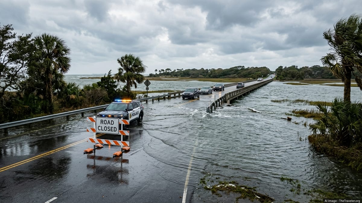
Developing Atlantic Low Brings Coastal Flood Alerts
The National Hurricane Center said early Friday that a broad, non-tropical low pressure system is consolidating offshore of the Southeast United States, with a low but increasing chance of acquiring subtropical or tropical characteristics as it moves near the Gulf Stream this weekend. Forecasters currently assign around a 20 to 30 percent formation chance into Sunday, but stress that hazardous marine and coastal impacts are likely regardless of whether the system becomes a named storm.
In its latest tropical weather outlooks on November 19 and 20, the center highlights the risk of strong winds, dangerous surf, rip currents and coastal flooding along portions of the Southeast and Mid-Atlantic coasts into early next week. The Weather Prediction Center’s rainfall forecasts show heavy rain potential shifting from the Florida Atlantic coast on Friday toward coastal Georgia and the Carolinas from Saturday into Sunday, increasing the likelihood of localized flooding in low-lying shorefront areas.
Forecasters emphasize that the storm is not currently a hurricane and may never reach that threshold. However, the pressure gradient between the offshore low and high pressure inland is expected to generate prolonged onshore winds, keeping water piled against the coastline and pushing tides higher than normal through multiple high-tide cycles.
Coastal Flood Warnings in Northeast Florida and Southeast Georgia
The National Weather Service office in Jacksonville has issued a coastal flood warning covering parts of northeast Florida and adjacent coastal southeast Georgia through at least Saturday evening, citing moderate coastal flooding around times of high tide along the Atlantic shore and tidal St. Johns River. Additional coastal flood advisories are in effect for surrounding zones where minor flooding is expected, and forecasters note that warning areas and end times may be extended or adjusted as the offshore low evolves.
According to the latest Jacksonville area forecast discussions and coastal hazard messages, onshore winds and elevated seas will combine with higher astronomical tides to inundate some low-lying roads, parking lots, boat ramps and parks near the coast and along tidal rivers. Brief saltwater encroachment on normally dry ground is possible, particularly during the Saturday and Sunday morning high tides, and some waterfront properties may see water levels comparable to previous moderate tidal flooding events this fall.
Marine forecasts for offshore and nearshore waters from northeast Florida into coastal Georgia call for rough seas and small-craft advisory or higher conditions, with hazardous conditions expected for small boats and unpowered craft. Swells propagating north from the developing low will also build surf along exposed beaches, increasing the chance of strong rip currents for swimmers through the weekend.
Charleston Forecast Highlights Rising Flood Risk for Georgia and South Carolina
Farther north, the National Weather Service office in Charleston reports high confidence that the Atlantic low will increase coastal flooding risk for southeast Georgia and South Carolina as it lifts northward. An area forecast discussion issued November 18 and updated November 19 notes that at least minor coastal flood thresholds are likely to be reached in the Charleston metro tidal zones, with potential for higher impacts depending on the exact track and intensity of the offshore system.
Forecasters in Charleston point to a combination of persistent onshore flow, rough surf and elevated water levels near the coast from late Friday through Sunday. This setup is expected to push tides above minor flood benchmarks in typical hot spots, including low-lying causeways, marsh-front neighborhoods and sections of downtown Charleston that are prone to tidal inundation during strong onshore wind events.
For travelers heading to Georgia’s barrier islands and the South Carolina Lowcountry, this means that short-duration road closures or lane restrictions are possible around peak high tides if water overtops sections of coastal access roads. Localized flooding of marina parking areas and waterfront lots could also affect access to excursion boats, fishing charters and small ferry landings, particularly during the highest tides of the cycle.
What Beachgoers and Coastal Travelers Should Expect Through Monday
From Friday, November 20 through at least Monday, November 23, visitors to the Atlantic coastline from northeast Florida through coastal Georgia and into the Carolinas should plan for periodically rough beach and marine conditions. Breakers will increase in height as the offshore storm strengthens, and rip currents are likely to become more frequent and stronger, especially near piers, jetties and inlets. Swimming outside of guarded areas will be increasingly risky, and some public beach access points could see overwash or standing saltwater during high tide.
Drivers using low-lying coastal routes, including roads across marshes and causeways to barrier islands, may encounter shallow saltwater on pavement around high tide, along with patches of sand and debris left behind as water recedes. These impacts are most likely in the usual tidal trouble spots and during the higher morning tides through the weekend. Local officials could temporarily close particularly vulnerable stretches if water depth or wave action becomes hazardous.
While major commercial airports in the region are not currently anticipating widespread disruption related to this coastal event, small coastal airfields, heliports serving offshore operations and sightseeing flights, and some seaplane bases could be affected by low ceilings, gusty winds or field flooding. The larger and more immediate impacts are expected for small craft operators, coastal road users and visitors planning beach, boating or waterfront activities.
Checking Conditions Before You Go
Because the offshore low is still developing and its exact track and intensity remain uncertain, coastal flood risk zones and timing could shift within relatively short notice. Travelers with plans between November 20 and 23 should recheck the National Hurricane Center’s tropical weather outlooks and local National Weather Service forecasts on the day of departure, paying particular attention to coastal flood warnings and advisories, rip current statements, marine forecasts and tidal predictions for their specific destination.
Those driving to or from barrier islands in Georgia, Florida, South Carolina or North Carolina should verify whether routine high-tide flooding is already occurring along their planned route and allow extra time in case of detours or brief closures. Operators of local ferries, water taxis and harbor tours may adjust schedules or cancel trips during periods of rough seas or unusually high tides, so advance confirmation of operating status is advisable, especially for same-day excursions.
Accommodation providers in low-lying coastal zones may also issue their own guest advisories if access roads or parking areas are at risk of tidal inundation. Before setting out, travelers can reduce surprises by checking updated local statements, monitoring tide times, and being prepared to adjust beach and boating plans until the developing Atlantic storm system moves away and coastal waters settle, likely sometime after early next week.