

More news on this day
Winter brings some of the year’s busiest travel days, but it also delivers one of aviation’s most stubborn hazards: thick, persistent fog that repeatedly slows or stops flights.
Get the latest news straight to your inbox!
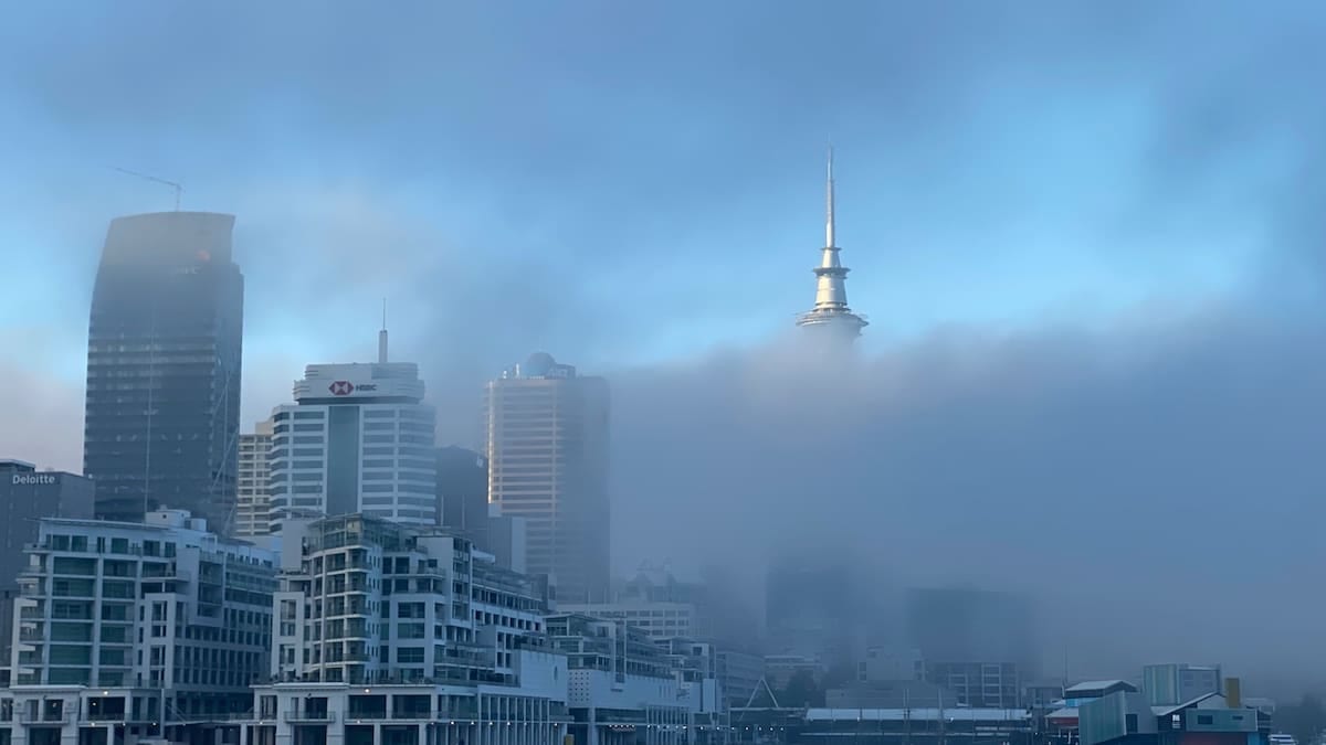
Why fog thickens and lingers in colder months
Fog is essentially a cloud at ground level, forming when air cools enough for water vapour to condense into millions of tiny droplets suspended close to the surface. In winter, the atmosphere is primed for this process. Nights are longer, giving the ground more time to lose heat, and the sun sits lower in the sky during the day, limiting how much the surface warms back up. As a result, air near the ground reaches its dew point more often, encouraging fog to form and stick around.
Meteorological agencies describe winter as the peak season for radiation fog, the most common type affecting inland airports. On clear, calm nights, the ground radiates heat away into space and cools rapidly. The air in contact with that cold surface cools too. If it is already moist, just a small drop in temperature is enough for saturation and fog development. With little wind to mix the air, that shallow layer of cold, saturated air can stay in place for hours or even days.
Temperature inversions make winter fog even more persistent. Instead of air cooling steadily with height, a warmer layer forms above colder air trapped near the surface. Meteorological guidance notes that these inversions are especially frequent in winter, acting like a lid that prevents vertical mixing. Fog and low cloud become trapped beneath this cap, and without stronger winds or incoming weather systems, visibility near the ground can remain poor through much of the day.
Topography can further enhance winter fog. In valleys and basins, colder, denser air drains downhill at night and pools in low-lying areas. Satellite analyses of regions such as the U.S. Pacific Northwest and California’s Central Valley show extensive winter fog episodes under these conditions, with clear skies on surrounding hills while airports in the valley remain shrouded in low visibility.
Different fog types, one common aviation problem
Not all fog forms in the same way, but several varieties are more common or more disruptive in the colder months. Radiation fog dominates in inland areas on clear, calm winter nights. In coastal zones and around large lakes or seas, advection fog forms when relatively warm, moist air flows over a colder surface, such as snow-covered ground or chilled water, and cools to saturation.
Freezing fog is a particular winter concern for aviation. It occurs when supercooled liquid droplets in fog encounter surfaces at or below 0 degrees Celsius. The droplets freeze on contact, building a glaze of ice on aircraft, runways, taxiways and ground equipment. Aviation safety analyses highlight freezing fog as a compound hazard: it reduces visibility and introduces icing risks that require extra de-icing and anti-icing measures, further slowing operations.
In some regions, local forms of winter fog have a long history of affecting travel. In California’s Central Valley, for example, dense “tule fog” is recognised in meteorological studies as a severe radiation fog that forms after winter rain saturates the ground. It can reduce visibility to just a few metres, impacting both roads and nearby airports. Similar valley and basin fog patterns are documented in parts of Europe and Asia, where cold air and pollution can become trapped together, reducing visibility and air quality at the same time.
Despite these regional differences, the operational challenge is similar. Whether the fog is radiation, advection or freezing, the result at an airport is low ceiling and low visibility, two parameters that directly govern how and when aircraft can take off and land.
How low visibility disrupts modern flight operations
Commercial aviation relies on strict visibility and cloud-base thresholds designed to keep aircraft safely separated from terrain and from one another. When fog reduces runway visual range below regulated minima, aircraft may not be allowed to depart or land, even if they are otherwise mechanically ready and crews are available. Aviation handbooks and regulatory documents emphasise that cloud ceiling and visibility are the key weather variables for all phases of flight.
Many large airports are equipped with instrument landing systems and, in some cases, autoland capability that allows aircraft to land with very low runway visibility. These systems were pioneered in parts of northwestern Europe precisely because persistent winter fog frequently disrupted air traffic. Even so, only certain runway and aircraft combinations are certified for the lowest visibility categories, and additional spacing between aircraft is often required, which reduces capacity.
Ground operations slow down as well. In dense fog, controllers may need to increase separation between aircraft moving on taxiways to guard against runway incursions and navigation errors. Vehicles that service aircraft move more slowly, and routine tasks such as positioning ground equipment or reading signage become more difficult. When freezing fog is present, de-icing queues grow longer and pavement inspections become more frequent.
These constraints tend to ripple through the wider network. A morning of dense fog at a major hub can force diversions to alternate airports, lead to missed connection windows and create aircraft and crew imbalances that last long after the fog lifts. Airlines may pre-emptively thin schedules or hold flights at origin to manage congestion, which passengers experience as delays or cancellations even if conditions are clear at their departure airport.
Why winter fog can be hard to predict and clear
Forecasting exactly when fog will form, how dense it will become and when it will lift remains a technical challenge. Research summarised in recent scientific reviews notes that fog is highly sensitive to small-scale variations in temperature, humidity, wind and surface properties such as soil moisture and snow cover. Small errors in modelling any of these components can mean the difference between clear skies and disruptive fog.
To improve reliability, meteorological services and aviation weather centres combine satellite imagery, surface observations, high-resolution models and, increasingly, machine learning tools tailored to low-visibility events. Studies focused on visibility nowcasting highlight the need to capture local drivers such as advection of moist air, radiative cooling at the surface and subsidence associated with high pressure systems, all of which are common in winter patterns.
Once established, winter fog can be stubborn. With a strong temperature inversion in place, the shallow layer of cold, saturated air near the ground is effectively capped by warmer air aloft. Without fresh wind to mix the layers or a change in weather pattern that brings in drier air, the fog may only thin slightly during the day and then thicken again at night. In urban areas, additional moisture and particles from human activity can help sustain or intensify the fog.
For travellers, this means fog-related disruption can last longer in winter than in other seasons, particularly during stable high-pressure periods. Airlines and airports increasingly advise passengers to monitor flight status closely during such setups, as publicly available forecasts of persistent low visibility are often a sign that schedules may be affected for more than a single morning or evening.