
More news on this day
Severe flash flooding in Green Bay this week has temporarily shut down the Green Bay Metro Fire Department’s Station 3 on Shawano Avenue, disrupting normal coverage on the city’s west side and raising new questions about how extreme weather is reshaping local emergency infrastructure.
Get the latest news straight to your inbox!
Storm-swollen streets force fire crews out of Shawano Avenue base
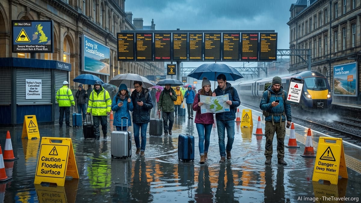
Reports from local media and municipal documents indicate that the Shawano Avenue corridor was among the hardest-hit areas when intense storms swept across Green Bay on Wednesday night, bringing several inches of rain in a short period. Street flooding that left vehicles stalled and intersections impassable also affected the low-lying area around the long-serving fire station on Shawano Avenue.
Publicly available information on the Green Bay Metro Fire Department shows that Station 3 serves the west side from its Shawano Avenue address and has been earmarked in recent planning documents as a facility due for replacement. The sudden inundation around the building, combined with water pooling near access points, has now prompted a temporary closure, with crews and apparatus relocated while the site is assessed and cleaned.
According to published coverage of the storm’s impact, Shawano Avenue was one of several major arteries that saw water ponding curb to curb as drainage systems struggled to keep pace. Images and eyewitness accounts circulating locally describe water rising quickly around homes and businesses, with emergency vehicles navigating flooded stretches to reach stranded motorists.
Travelers using key west-side routes are still encountering lane restrictions and residual debris clean-up near Shawano Avenue, and the temporary loss of an operating fire station there adds another layer of disruption for people moving through the corridor.
Temporary coverage plan reshapes response on Green Bay’s west side
With the Shawano Avenue station out of service, Green Bay’s fire and rescue coverage on the west side has shifted to neighboring stations. Organizational charts and facility listings for the department show several other stations positioned around the city, and response patterns are being adjusted so that nearby companies can cover the calls that would normally originate from the Shawano Avenue house.
Travelers and residents in the affected neighborhoods may notice different apparatus responding to incidents in the short term, as engines and ambulances are dispatched from other locations. While publicly available information does not indicate gaps in service, the flooding-related closure shortens the margin for error during busy periods or overlapping incidents, particularly along traffic-heavy corridors such as Shawano Avenue, Lombardi Avenue and nearby highway access points.
For visitors passing through this part of Green Bay, the change may be mostly invisible, but it underscores how vulnerable even long-established emergency facilities can be to sudden weather extremes. The temporary closure also intersects with ongoing redevelopment in the city, including a newer consolidated fire station project already in progress, which aims to modernize facilities and improve resilience.
Travel news watchers following conditions in northeast Wisconsin are likely to see periodic updates as the department refines its interim coverage plan and announces when the Shawano Avenue station is considered safe to reoccupy.
Flash flooding exposes pressure points in local infrastructure
The storms that triggered the Shawano Avenue station closure arrived on the heels of a flood advisory for Brown County and neighboring areas, as radar showed repeated bands of heavy rain over already saturated ground. Local news reports describe more than three inches of rainfall in some nearby communities, with a significant share of that total arriving in less than an hour.
On the ground, that translated into rapid-onset street flooding along the Fox River and key feeder roads, including Shawano Avenue. Sections of pavement disappeared under murky water, drainage inlets were overwhelmed and low spots turned into temporary ponds, affecting both residential streets and important commuter routes.
The impact on the Shawano Avenue fire station fits into a broader pattern highlighted in municipal planning documents, which identify several older public-safety buildings as being in need of upgrades or relocation. The combination of aging facilities, increasingly intense storm events and complex traffic networks around west Green Bay is drawing renewed attention from planners, especially as new housing and medical projects rise near the same transport corridors.
For travelers, the episode is another reminder that short, intense cloudbursts can create unpredictable hazards well beyond the immediate riverfront. Streets that normally function as reliable cross-town links can quickly see closures, detours and emergency activity, even hours after the rain has stopped.
Travel and mobility impacts for visitors to Green Bay
From a traveler’s perspective, the temporary closure of a neighborhood fire station might seem like a minor footnote compared with washed-out highways or airport delays. Yet in a mid-sized city such as Green Bay, emergency facilities are closely intertwined with how people move through town and how quickly incidents on busy roads are cleared.
Shawano Avenue is a key connector on the west side, linking residential districts with shopping areas, health care facilities and routes toward nearby communities. When localized flooding forces both lane closures and the relocation of the area’s primary fire and medical-response base, it can lengthen the time it takes to remove stalled vehicles, address minor collisions and respond to medical calls along the corridor.
Travelers planning to pass through Green Bay in the coming days may encounter utility crews, street sweepers and patching work on and around Shawano Avenue as clean-up continues. Publicly available information advises drivers to approach standing water with caution, avoid attempting to ford visibly flooded intersections and build extra time into itineraries while residual road repairs and drainage checks are underway.
For those staying overnight in Green Bay, accommodations on the west side remain accessible, but route flexibility is important. Visitors unfamiliar with the city’s grid may wish to use alternate arterials or follow any posted detours while the storm’s after-effects play out.
What the Shawano Avenue shutdown signals about future resilience
The Shawano Avenue station’s temporary closure comes as Green Bay continues a broader transition in how it houses its emergency services. Recent project announcements describe plans for more modern fire facilities combining updated safety features with improved access and, in some cases, mixed-use development.
The latest flooding highlights why such upgrades carry particular weight in a city where rainfall patterns are shifting. Locating critical response hubs away from the most flood-prone pockets, reinforcing access roads and pairing new stations with enhanced drainage infrastructure are among the strategies being discussed in public forums and city planning documents.
For travelers and residents alike, this week’s events offer a vivid case study in how a single night of severe weather can place stress on older infrastructure. A neighborhood station on Shawano Avenue that has served Green Bay for decades now sits temporarily out of action while the city evaluates the damage and considers what long-term protections are needed.
As clean-up advances and traffic patterns normalize, the Shawano Avenue fire station story is expected to remain part of the wider conversation about how communities along Wisconsin’s travel corridors prepare for the next round of storms and the next test of their critical services.