


More news on this day
Germany’s North Sea island of Sylt, long reachable only by rail across the Hindenburgdamm causeway, is drawing renewed attention as a rare major destination without a direct road link, highlighting how the country’s approach to island mobility increasingly resembles car-light models seen in Denmark and other parts of northern Europe.
Get the latest news straight to your inbox!
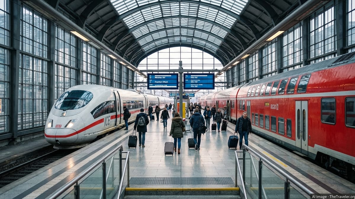
A Busy Rail Lifeline to a Roadless Island
Sylt’s defining transport feature is the Hindenburgdamm, an 11 kilometre causeway that connects the island to mainland Schleswig-Holstein exclusively by rail. Opened in 1927, the structure carries the Marsh Railway between Niebüll and Westerland and remains closed to ordinary road traffic. Publicly available descriptions note that more than 100 trains use the causeway on busy days, including dense regional passenger services and high-frequency car-shuttle trains that load vehicles onto flat wagons for the final stretch over the Wadden Sea.
The lack of a standard road bridge makes Sylt unusual among large European holiday islands. According to rail and tourism documentation, all private cars that reach Sylt from the German mainland must either arrive by train over the Hindenburgdamm or by seasonal ferries, with no option to drive independently across the sea barrier. Car-shuttle operators on the Niebüll–Westerland route have expanded capacity in recent years, underlining the intensity of demand on the island’s only permanent land connection.
At the same time, the rail line itself is a bottleneck. Technical information on the Marsh Railway indicates that more than half of the 39.3 kilometre section from Niebüll to Sylt remains single track, constraining timetable flexibility and making the mixed operation of regional trains, long-distance services and car shuttles vulnerable to disruption. Regional media and transport analyses have repeatedly discussed ideas such as double-tracking the remaining sections to stabilise the link without resorting to a new road.
These constraints have helped cement Sylt’s image as a place that is physically accessible yet symbolically remote. During Germany’s 9 euro public transport experiment in 2022, when regional trains became exceptionally cheap nationwide, the island became a focal point of online debate about mass access to elite resorts and the environmental impact of shifting trips from cars to trains.
Wadden Sea Protection Shapes Infrastructure Choices
Sylt sits within the wider Wadden Sea, a tidal wetland shared by Germany, Denmark and the Netherlands that has been inscribed as a UNESCO World Heritage Site. UNESCO documents describe the property as one of the largest unbroken systems of intertidal sand and mud flats in the world, home to migratory birds and species specially adapted to dynamic coastal conditions. In recent decisions, UNESCO has emphasised that managing cumulative pressures from shipping, tourism, energy projects and coastal defences is a priority for the trilateral Wadden Sea cooperation framework.
Environmental reports note that the protected status of the Wadden Sea has direct implications for large-scale infrastructure. Any proposal for new fixed links, such as road bridges or expanded causeways, would have to be assessed against stringent conservation objectives, including impacts on tidal flows, sediment transport and sensitive habitats. These conditions help explain why, despite decades of tourism growth and rising car ownership, Sylt’s mainland connection has remained rail-only.
German federal and regional planning strategies for the Wadden Sea region stress the need to reconcile tourism with ecological limits. World Heritage monitoring materials published in 2024 point to efforts by the three Wadden Sea states to strengthen strategic environmental assessments and to treat the area as a single ecological unit. Within this framework, maintaining and optimising existing infrastructure, rather than adding new corridors for cars, tends to be favoured.
This environmental context places Sylt in a broader group of North Sea and Baltic islands where access is intentionally constrained. The choice to keep a rail-based causeway and use ferries for additional capacity reflects a balance between visitor demand and the desire to avoid further fragmenting a sensitive coastal landscape.
Parallels With Denmark’s Island Transport Model
Observers increasingly compare Germany’s approach at Sylt with Danish practices on nearby islands. Danish transport networks in the Wadden Sea and Baltic regions typically rely on a mix of bridges, tunnels and ferries, but many smaller islands remain roadless in the sense that they lack fixed highway links to the mainland and depend entirely on scheduled boats. These islands often limit private car use or encourage visitors to leave vehicles on the mainland.
Sylt shares several traits with these Danish examples. Like the Danish island of Rømø, which serves as a ferry gateway in the Wadden Sea, Sylt combines intensive tourism with protected coastal ecosystems. Travel material for Sylt highlights frequent rail links, local buses and cycling as core components of getting around, echoing Scandinavian tourism messaging that focuses on public transport access, walking and bikes rather than private cars.
In policy terms, Germany’s national experiments with discounted rail passes have also nudged the country closer to Nordic-style thinking about island mobility. Research on the 9 euro ticket in 2022, and the subsequent Deutschlandticket, documents a measurable shift in trip-making from cars to public transport, especially on leisure routes. While these schemes applied nationwide rather than targeting Sylt specifically, they demonstrated how price signals can redirect coastal and island travel demand away from roads where alternatives exist.
Regional planners now treat the Sylt corridor as a test case for managing high visitor volumes with a finite, rail-centric link, much as Danish agencies do on popular but physically constrained islands. The comparison underscores how infrastructure choices made almost a century ago are interacting with contemporary climate and conservation priorities.
Managing Tourist Pressure on a Finite Corridor
The popularity of Sylt as a resort destination intensifies the focus on its unusual access geometry. Tourism statistics describe several hundred thousand visitors a year drawn by beaches, spa facilities and high-end hospitality. Peak-season crowds funnel almost entirely through the Niebüll–Westerland rail corridor or via ferries from Denmark, concentrating pressure on a short stretch of track and two island terminals.
Past summers have exposed how quickly this system can become strained. Media coverage of the 9 euro ticket period reported packed regional trains heading for the coast and highlighted Sylt as a symbol of mass access to previously exclusive resorts. While travel demand has normalised since then, operators and planners continue to view the single-track sections north of Niebüll as a vulnerability during holiday peaks and storm-related disruptions.
To address these pressures without adding a road, infrastructure agencies have focused on incremental improvements. Documents on the Marsh Railway describe ongoing upgrades to signalling, passing loops and rolling stock, alongside debates about further double-tracking. Car-shuttle companies have adjusted timetables and loading procedures to squeeze more capacity out of existing train paths across the Hindenburgdamm.
These measures underline a key reality for travellers: reaching Sylt by private car already involves an enforced modal shift, either onto shuttle trains or ferries. That requirement has no equivalent on Germany’s mainland coasts and sets Sylt apart as a destination where access management is built into the physical layout of the approach route.
Climate Goals and the Future of Island Access
Germany’s climate and transport debates are increasingly intersecting with questions about island access. Academic studies assessing the 9 euro ticket and its successor, the national 49 euro pass, find that cheaper public transport can reduce car use and emissions, particularly where reliable rail links are already in place. The Sylt corridor, with its mandatory rail segment over the Hindenburgdamm, fits this profile closely.
At the same time, environmental organisations and World Heritage watchdog groups draw attention to cumulative impacts in the Wadden Sea, from shipping emissions to coastal development. Reports published in 2024 urge the three Wadden Sea states, including Germany and Denmark, to treat transport, tourism and energy projects as interconnected pressures that must be managed together. For Sylt, this reinforces the logic of limiting new road infrastructure and favouring upgrades to existing rail and ferry services.
Long-term adaptation to sea-level rise adds another layer of complexity. UNESCO’s Wadden Sea documentation notes that climate change is likely to alter storm patterns, erosion and tidal dynamics, requiring careful planning for coastal defences and transport links. Any major modification of the Hindenburgdamm or new fixed crossings would need to account for these evolving conditions, strengthening the case for flexible, lower-impact solutions rather than irreversible road corridors.
As Germany refines its national mobility strategies, Sylt’s roadless status is evolving from a historical quirk into a reference point. The island demonstrates how a high-profile resort can rely on a rail-first connection while remaining integrated into a modern transport network, aligning Germany more closely with Denmark and other northern European countries that treat constrained island access as a tool for both climate policy and coastal protection.
Hindenburgdamm causeway overview
UNESCO Wadden Sea World Heritage documentation